Wainwright's Coast to Coast Walk — Stage 1

Robin Hood's Bay to Glaisdale. A personal record of my walk in May 1994 with written journal and photographs.

Start Point
Robin Hood's Bay
Finish Point
Glaisdale
Total Distance
18.6 miles (30.0 km)
Total Climbing
971 metres
Estimated Time
7 – 9 hours
Difficulty Grade
Strenuous

Ordnance Survey Explorer Map (1:25,000)

Essential paper map for exploring the North York Moors:
Stage Report: Robin Hood's Bay to Glaisdale

As Steve, Dave, and I left the beach in Robin Hood's Bay, the work immediately began. It's a steep walk out of the hamlet to the deserted coastline fields that are followed for the first few miles. We looked out to sea for a time whilst enjoying the view around us and anticipating the next twelve days with excitement. The weather was good to us at the start of our journey. When we left the coastline, the sun came out to accompany us on our beginning of the trek across country. As we headed inland, we passed the Hawsker Bottom Caravan Park and followed the road to Middle Rigg where we left the road and followed a bridleway onto Low Moor Fell, the first of a number of heather-covered fells to be encountered on the Coast to Coast walk. We crossed the fell and enjoyed our first experience of total peace until we reached the B1416 road that has to be followed for a few minutes. We left the road to cross Sneaton Low Moor, another heather-laden upland.

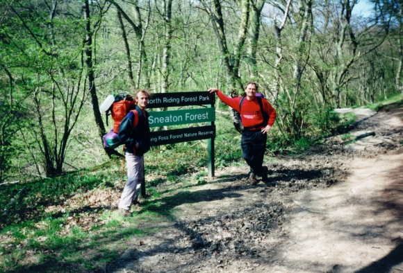
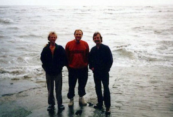
At the start of our Coast to Coast walk
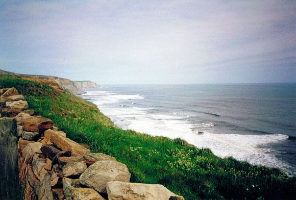
Yorkshire coastline north of Robin Hood's Bay

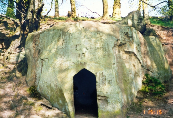
After this crossing, the scenery becomes delightful with the drop down to New May Beck that leads into enchanting Sneaton Forest. At May Beck, where families enjoying the scenery will probably be, we paused for a while to enjoy an ice cream. After enjoying our treat, we made our way along the beck into Sneaton Forest. Seek out Falling Foss waterfall and the Hermitage, a remarkable hollowed-out boulder to shelter from storms should they be around. When the sun is out, the glints of light that pierce through the woods' canopy create shadows and shapes that help you to understand how enchanted forests came into people's imagination. We left the forest at the hamlet of Littlebeck and headed upwards at pace and with a bit of a puff to the crossing of the A169 and Sleights Moor. This was the final moor walk of the day, and we headed quickly down into Grosmont village.

Sneaton Forest holds some nice surprises
The Hermitage is shaped from a single boulder

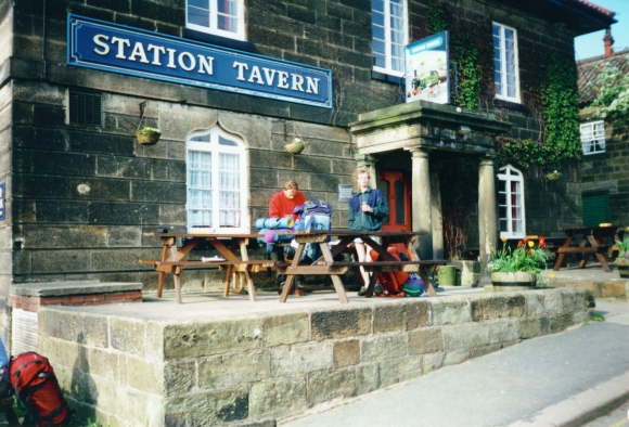
If you are lucky, you may catch sight of a steam train in Grosmont. The Esk Valley Railway line runs through the village. We stopped for a break in Grosmont, and after refreshments, we left the village and followed paths, bridleways, and fields whilst keeping close to the River Esk through to Egton Bridge. After the village, we then tracked through East Arnecliff Wood. We left the wood just before Glaisdale, the first welcoming stop of our walk. This first leg of the walk is 18.6 miles, quite a haul, and there are two more legs of the same length to follow, so take it easy during your stay here! We had quite a night ourselves in one of the local pubs, The Arncliffe Arms, where it was Karaoke night. We endured the not-so-expert singing of the local folk and had quite a few beers to make the noise more palatable. We all suffered for it in due course.

Taking a break at the Station Tavern in Grosmont
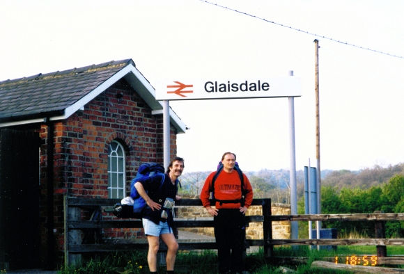
Journey's end for today in Glaisdale
Advertisement

Join The Walking Englishman Community

Connect with other walkers, share trail photos, and keep up to date with my latest route notes.