Wainwright's Coast to Coast Walk — Stage 6

Reeth to Keld. A personal record of my walk in May 1994 with written journal and photographs.

Start Point
Reeth
Finish Point
Keld
Total Distance
11.7 miles (18.9 km)
Total Climbing
624 metres
Estimated Time
4 – 5 hours
Difficulty Grade
Hard

Ordnance Survey Explorer Map (1:25,000)

Essential paper map for exploring the Yorkshire Dales:
Stage Report: Reeth to Keld

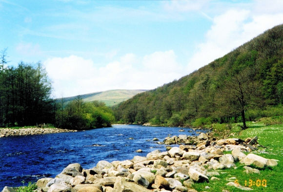
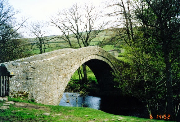
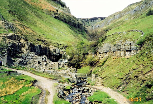
The Coast to Coast Map (OS OL30) indicates an 11-mile route that includes Surrender Bridge and the Old Gang Smelting Mills, a route I recommend. However, we deviated from that route by taking a low-level path including some riverside walking which added two miles but included the bonus of visiting Gunnerside. As we left Reeth, my aches had abated somewhat, and we made good time skirting the river towards Isles Bridge. It was easy going, and from Isles Bridge we headed to Gunnerside. At Gunnerside we stocked up with provisions for the evening, as Keld is a dry village and our youth hostel accommodation certainly had no bar to offer. The nearest pub to Keld is the famous Tan Hill Inn, the highest inn in England, but it is 5 miles from Keld—there are no bus routes up here and taxis are very scarce! We left Gunnerside stocked up and walked in beautiful scenery alongside the Swale until we arrived at Swinner Gill. Here we left the riverside and followed the gill upstream to disused lead mines, from there ascending to Crackpot Hall. The countryside here, a northern fell environment, is typically bleak, and I imagined how tough it must have been for the Victorian miners and hill farmers working the land up here when the weather turned inclement.

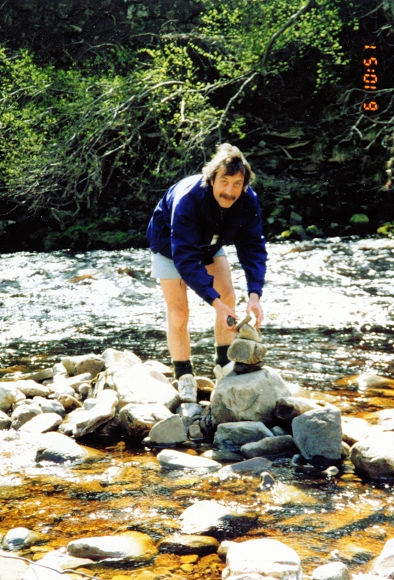
Steve erects a cairn in the River Swale
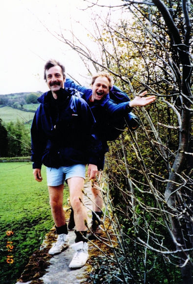
Wall walking near Long Row

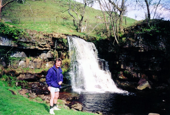
Soon after Crackpot Hall, we dropped down to East Gill waterfall, a waterfall popular with visitors to Keld. On many occasions I have passed through here and encountered families picnicking beside the falls. Back to today, and after taking the obligatory photograph, we scampered through the short woodland path into the old Viking settlement that is Keld. On the feet issue, I was once again in acute pain on reaching the youth hostel. It was at this point I decided to abandon my boots and walk in trainers. It was a decision I should have taken a little earlier in the walk. I was never to suffer again.

Note of interest: The village of Keld is surrounded by the hills of Swaledale and is as quiet a spot as you can hope to find (apart from the bleating of the sheep!). Enjoy your quiet evening in Keld, as you have now reached halfway on the walk—a reason in itself for celebration.

The majestic River Swale
Ivelet Bridge
Ivelet Bridge
Old workings near Crackpot Hall
Steve smiles at East Gill Waterfall
Advertisement

Join The Walking Englishman Community

Connect with other walkers, share trail photos, and keep up to date with my latest route notes.