Outhgill, High Seat, Gregory Chapel and Hugh Seat

A ridge walk on the hills east of the upper River Eden, set in the enigmatic Mallerstang valley.

Start Point
Outhgill
Grid Reference
NY782015
Total Distance
6.0 miles (9.5 km)
Total Climbing
517 metres
Estimated Time
3 – 4 hours
Difficulty Grade
Hard

Ordnance Survey Explorer Map (1:25,000)

Essential paper map for exploring the route:
Walk Summary

Guest writer Denis has now completed every Yorkshire Dales hill over 2,000 feet in height and these three were the last ones he did, all conveniently placed alongside each other on a splendid ridge in the Mallerstang area.

Walk Report & Journal

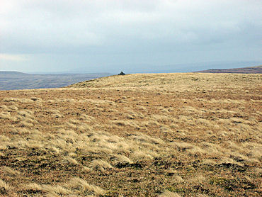
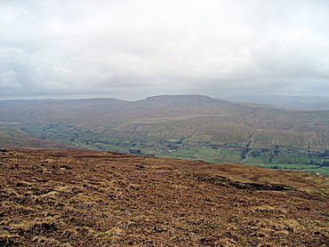
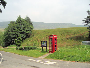
Parking is available at Outhgill by the roadside opposite the telephone kiosk (NY782015). Take the lane up through the village passing through a gate at the top; from here there is no defined route! Set your sights on a cairn perched above Mallerstang Edge, but as you make the gradual climb towards the face do not cross the gill cut into the face, but seek out a point where the steep grass slope can be climbed together with an element of rock. On reaching a point level with the cairn the route continues ever upwards to High Seat (NY801010) with magnificent views to the Howgill Fells with Wild Boar Fell standing proud. To the north Nine Standards Rigg can be seen.

The start of the walk from Outhgill
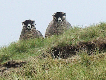
What is he doing up here?

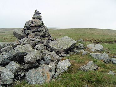
Our journey now takes a southerly route to the cairn at Gregory Chapel (NY802003), a route which does have a track of sorts. On a clear day the summit can be clearly seen from High Seat and just requires a short descent of 150 feet and a climb up to the cairn. Hugh Seat cairn (SD809991) can now be seen across in a south-easterly direction, but the direct route takes us across moorland which can be wet in places. Having bagged the peaks, it just remains to return and whilst there is no marked route I suggest, to complete a circuit, a westerly direction towards SD795991 (approximate position) between White Brow and Ravens Nest. Take great care especially in poor visibility as this is the edge of a very steep descent. A track is marked on the OS map designated 'Old Road' down in the valley which can be seen. This could be your route back which would take you to the road at Thrang Bridge and after a short walk along the road back onto a marked footpath across the fields to Outhgill. I however chose to take a more direct route having descended the initial steep drop (this can be done on the seat of one's pants, but take care either way!). My route after the initial descent was to head across towards Birk Rigg, maintaining height to cross the small gills and dropping onto Birk Rigg when the wall side can be clearly seen. From here the route is a very pleasant level walk back to Outhgill. Just cross the beck and you are there. A very rewarding experience.

Approaching the summit of High Seat
Wild Boar Fell as seen from High Seat

A Final Note: I strongly suggest this walk is not attempted without OS map, compass, map reading skills and ideally a GPS. The climb is very steep on Mallerstang Edge.

— Mike says: “Thank you Denis for adding the walk to the Walking Englishman's free resource of walks.”

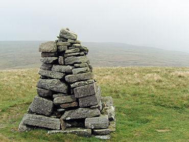
Summit Cairn on Gregory Chapel
Summit Cairn on Hugh Seat
Advertisement

Join The Walking Englishman Community

Connect with other walkers, share trail photos, and keep up to date with my latest route notes.