Dales Way Part 2: Grassington to Yockenthwaite

Grassington, Coniston Dib, Kettlewell, Buckden, Hubberholme, Langstrothdale and Yockenthwaite.

Start Point
Grassington
Grid Reference
SE 002 639
Total Distance
13.5 miles (21.8 km)
Total Climbing
474 metres
Estimated Time
6 – 7 hours
Difficulty Grade
Hard

Ordnance Survey Explorer Map (1:25,000)

Essential paper map for exploring the route:

(Please note my route deviates from the official Dales Way path in places. However the map and files available for download follow the route throughout.)
Walk Report & Journal

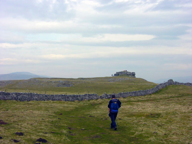
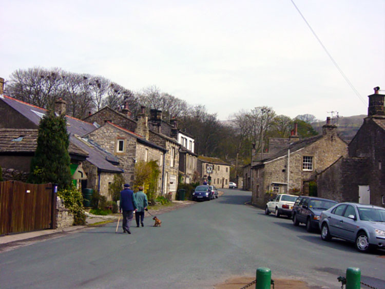
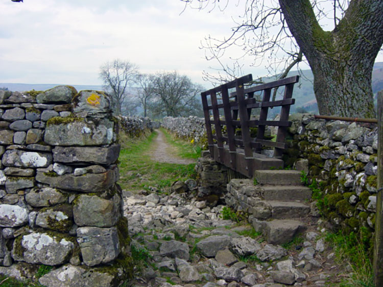
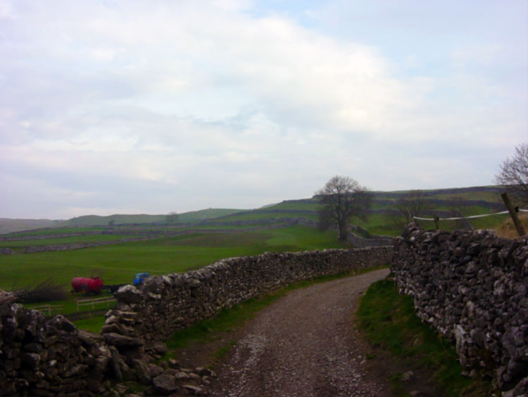
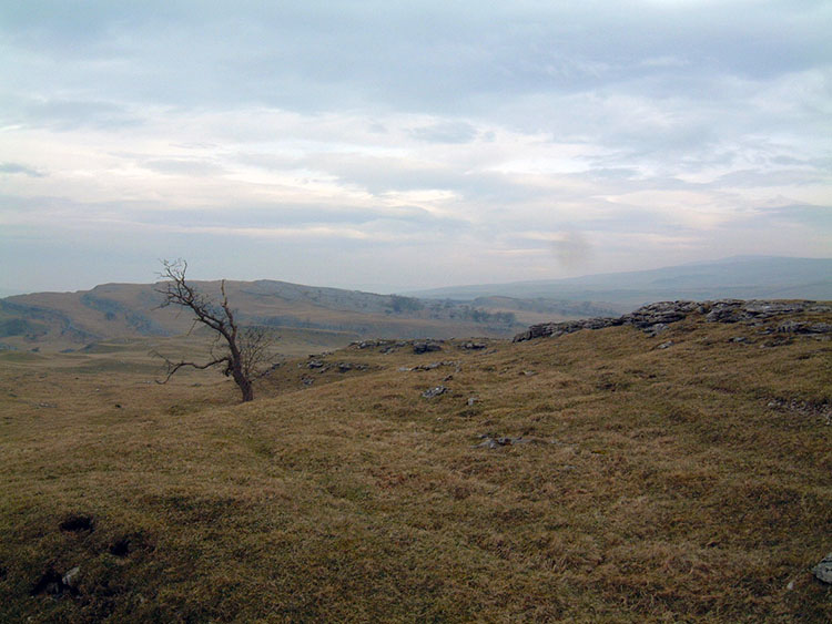
After yesterday's approach into the Dales today begins with a dramatic change. Today's stage begins by leaving the river and climbing onto limestone pavements over 100 metres above the river. The Dales Way leaves Grassington via a high-level route on airy limestone at around 300 metres high. The first set of fields on leaving the village are the sites of medieval villages, and after climbing through these fields we gain tremendous views of the surrounding Dales landscape. We are now in the heart of limestone country and it gives me a heartwarming, open feeling I get whenever I am at height in the Dales. I love this landscape and I am in my walking element now. I am sure Steve feels the same and we are to share some great sights and great fun on today's leg. We stay on the tops for about two miles and then deviate off the waymarked path for the first, but not last, time. It was not intentional — the paths are numerous and difficult to ascertain on this stretch — but when we reached a very steep drop and no sign of a stile in the next field we knew we were slightly off track. The choice facing us was to cut east and regain the official path or to turn back for about one hundred yards and take a westerly direction over a stile we had seen prior to our abrupt stop. We took the west option with good reason.

Setting off from Grassington
The Dales Way north of Grassington

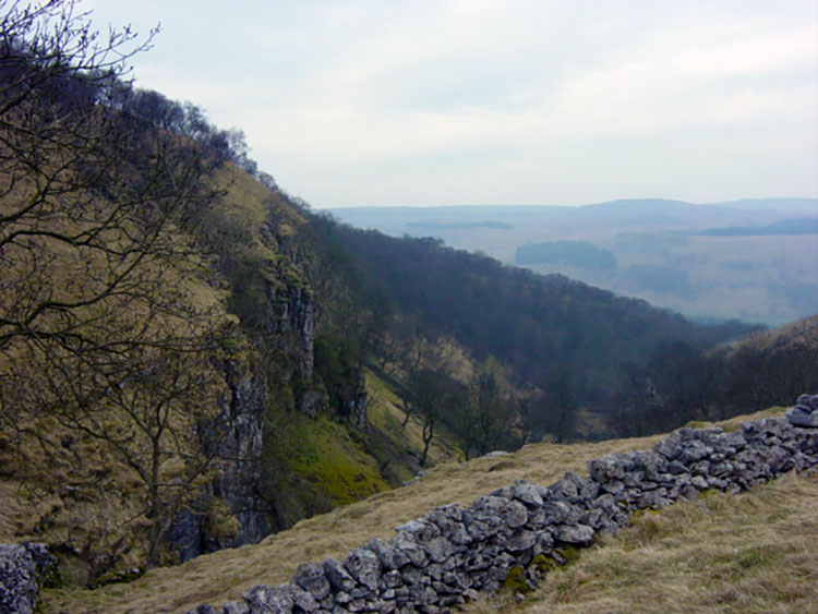
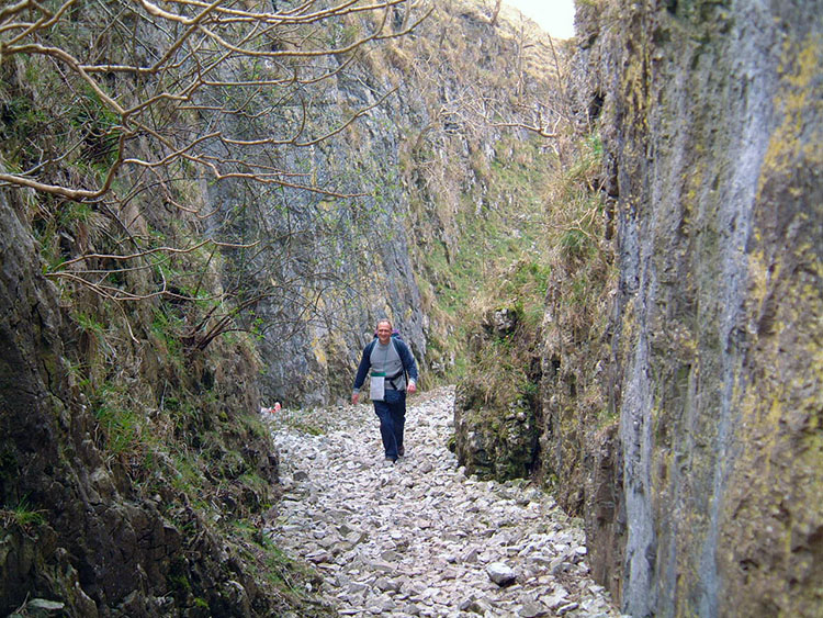
Our slight deviation gave us a huge bonus, and I think a better and more delightful option to staying on the limestone pavement all the way from Grassington to Kettlewell. It adds a mile to the walk, but has the benefit of giving the walker an exciting and delightful walk up Conistone Dib, a narrow deep gorge. From the edge of Bastow Wood follow a distinct path down to the village of Conistone. The path forces you to lose 120 metres in height, but you will gain it again in the most fantastic way. Once in the square in Conistone village take a due east bearing that leads you to the edge of the village and straight into the gorge. The sides of the gorge close in on you so definitely that at one point you are forced to walk single file. It is short, but it is awesome, and it always gives me a lump in the throat when I walk through it.

Descending to Coniston
Coniston Dib
Coniston Dib

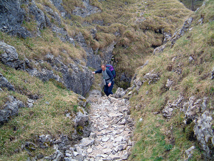
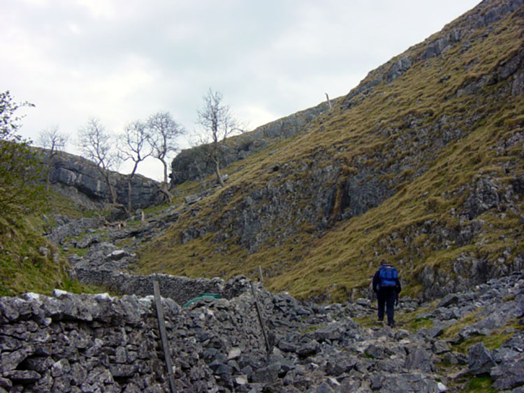
Soon the walls of the gorge part and give way to a narrow avenue that leads back up to the Dales Way path at the top of Scot Gate Lane. Take note of the rock outcrop of Bull Scar to the right as you make height. Soon enough we were back on the limestone pavement. At this point if you look to your left you will see Kilnsey Crag in the distance below. Once we regained the path we focused on Conistone Pie, a rounded little hill that looks more man-made than natural; you will more often than not see fellow walkers resting on the mound. We did the obvious and detoured a few yards to ascend it, meeting a school trip from on the top.

Climbing out of Coniston Dib
The path from Coniston Dib to Coniston Pie

For a mile after Conistone Pie we stayed on the pavement, but then we were made to drop down into Kettlewell and regain the riverside. The upland trip is curtailed until tomorrow, but then variety does create interest of its own. One important point of note: Kettlewell is the last place with a shop until Dent, 25 miles further on, so if you are low on supplies then stock up here! There are cafes and pubs in Kettlewell to enjoy a drink if you wish — Steve and I settled for the shop, but did have a break for food and drink in the village square. At the village make for the bridge and cross onto the western bank of the river.

Approaching Coniston Pie
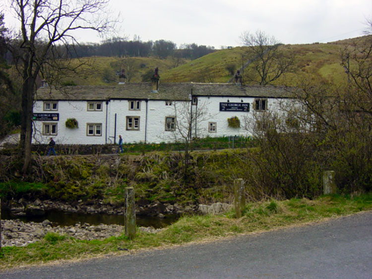
Kettlewell
Kettlewell

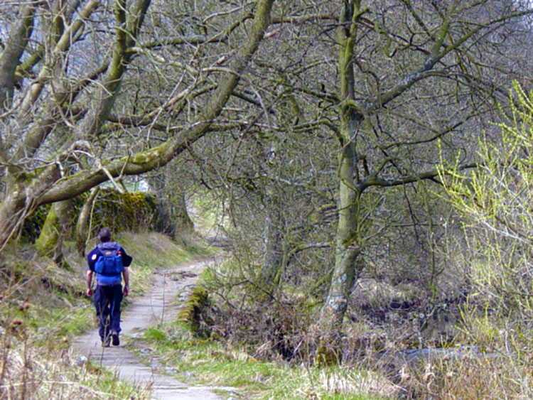
The character of this next section from Kettlewell to Buckden is much like the first section: gentle riverside walking all the way. Steve and I have walked this section before, but more often than not have made the journey on the tops. We reminisced about walks to Buckden Pike on the hills to our right and walks over to Littondale on the hills to our left. Buckden reminded us of the one occasion we were beaten back by a whiteout snowstorm, and the Littondale moor barrier reminded Steve of a time when he and a friend got absolutely drenched in a rainstorm. No such problems this time for we were enjoying a prolonged spell of exceptional spring weather — in fact it was dry throughout the whole walk!

Dales Way near Kettlewell
Beside the River Wharfe

At Buckden we reach the end of Upper Wharfedale. The river is to be with us a little while longer yet, but as we leave the fringes of Buckden we enter Langstrothdale. This dale is one of the smallest of the dales, but it is one of the prettiest and from here we are to see sections of the Wharfe where it is seemingly dry, only to find it reappear further upstream — it runs under its limestone bed quite frequently from here on. Another quirk of the dale is the place names as you will read in this and the next section. Another feature of Langstrothdale that sets it apart from its more illustrious neighbours is its solitude: there is a road that runs through the dale, but it is not for the faint-hearted and there is not a single shop to be seen — this is indeed quiet country! From Buckden we enter the dale and follow the river to the village of Hubberholme.

Dry beck near Buckden
Hubberholme
Hubberholme

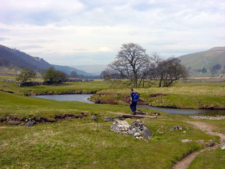
The Wharfe is distinctly narrowing now. We follow it upstream as it appears and runs noisily over the rocks and quietly underground until we reach the hamlet of Yockenthwaite. It is here that our journey pauses for the day. We stay at nearby Raisgill House from where our host is gracious enough to give us a lift to and from the pub a mile and a half away in Hubberholme. We are grateful for her kindness, and it is in the pub in Hubberholme where we enjoy an absolutely fantastic pub meal — the food was absolutely delicious and both Steve and I recommend it unreservedly. The beer is good too!

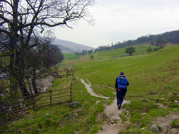
Walking from Hubberholme to Yockenthwaite
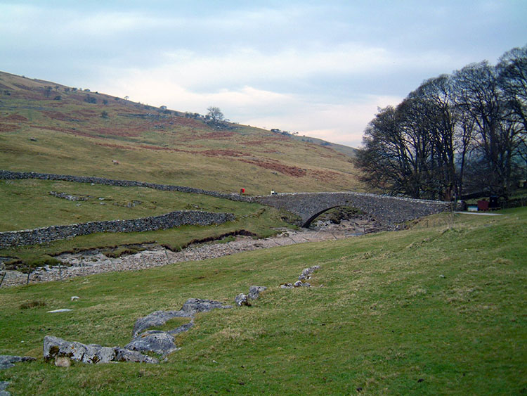
Yockenthwaite Bridge
Advertisement

Join The Walking Englishman Community

Connect with other walkers, share trail photos, and keep up to date with my latest route notes.