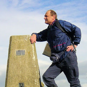
Altmühltal Panorama Trail
The Altmühltal Panorama Trail is a 126-mile (203-kilometre) long-distance walking route in southern Germany following the Altmühl River from Gunzenhausen to Kelheim. With map, statistics, and GPX route file.
Statistics and Files
Latitude: 49.109536
Longitude: 10.754318
Distance: 126 miles (203 km)
Walk Time: 10–15 Days
Suggested Map:
Altmühltal-Panoramaweg Map
Summary
The Altmühltal Panorama Trail (Altmühltal-Panoramaweg) is a premier 203-kilometre (126-mile) long-distance hiking route in Bavaria, Germany. It follows the meandering Altmühl River through the Altmühl Valley Nature Park, Germany’s second-largest nature park. The route is typically divided into 10 to 15 daily stages, depending on the hiker’s abilities and preferences.
The trail starts in Gunzenhausen and ends in Kelheim at the confluence of the Altmühl and Danube rivers. It is classed as a moderate walk, featuring regular climbs to panoramic plateaus while remaining accessible to experienced hikers and families alike. Signage is very good throughout, waymarked by a yellow ammonite fossil on a blue background, reflecting the region’s rich paleontological history.
Main highlights of the trail include natural wonders such as the iconic “Twelve Apostles” limestone rock formations near Solnhofen and the scenic Danube Gorge (Donaudurchbruch) near the trail’s end. Cultural highlights include passing through medieval towns like Eichstätt and Beilngries, alongside historic sites such as Prunn Castle and the Roman Limes. For those interested in paleontology, the area is world-famous for fossils, including the Archaeopteryx, with museums located along the route in Solnhofen and Eichstätt.
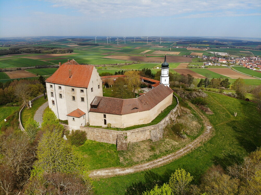 Schloss Spielberg
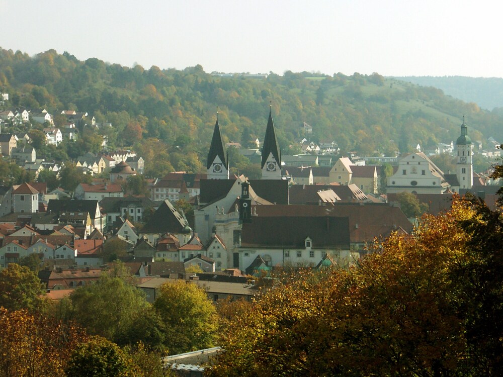 Eichstätt
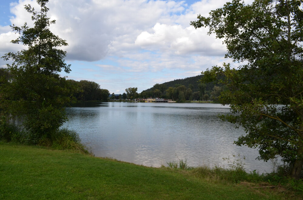 Kratzmühlsee
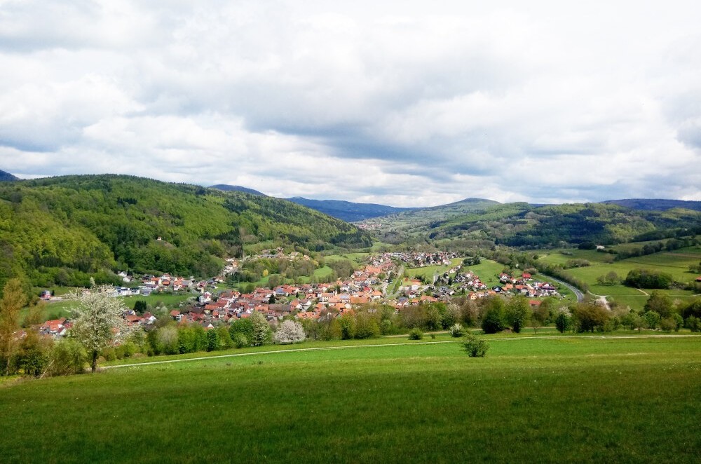 Riedenburg
Pictures courtesy of Wikipedia
Feedback and Suggestions
To suggest a link for inclusion on this page, please complete the Walking Englishman Feedback Form. Thank you.