Cat Bells, High Spy, Dale Head, Hindscarth and Robinson
The classic Newlands Horseshoe. Highlights of the walk include Little Town, Hause Gate, Cat Bells, Bull Crag, Maiden Moor, High Spy, Wilson's Bield, Dalehead Tarn, Dale Head, Hindscarth, Littledale Edge, Robinson Crag, Hackney Holes, Robinson, Scope Beck, and High Snab.
Summary: Given a clear day, this is possibly the most scenic walk in the North Western area of the Lake District. While the route never reaches the extreme heights of Scafell or Helvellyn (the highest point is Dale Head at 753m), the panoramas on offer are magnificent, particularly looking back across Derwent Water to the Skiddaw and Blencathra massifs. It is a classic mountain horseshoe encircling the pastoral Newlands valley. Although the route sticks to ridges as much as possible, it is an undulating circuit with three separate ascents and descents—the initial haul up from Little Town and the final steep descent off Robinson being the most demanding.
Note: I did not walk from Hause Gate to Cat Bells on this particular outing, but it is included in the title as it is an easy there-and-back spur over Mart Bield from the saddle, with most of the height already gained.
The Walk Report
It was the third day of a five-day walking break Steve and I were enjoying in the Lake District during the spring of 2005. Remarkably, it was our third settled day in a row. Even better, it was the sunniest start of the trip so far. After breakfast at our accommodation in Ambleside, I directed Steve, today's driver, north along the A591 toward Keswick.
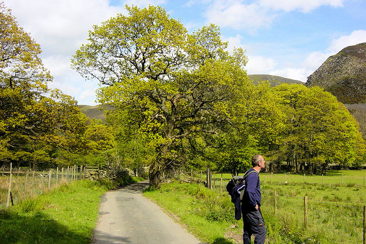
The sun shone brilliantly as we skirted Thirlmere, bypassed Keswick, and turned into the Newlands valley via Braithwaite. It was a wonderful feeling looking up at the cloudless sky as Steve navigated the narrow lanes down to our starting point at Little Town. We knew the high-level views over Newlands would be exceptional, and so it proved. After picking up the path from the car park near Chapel Bridge, we were swiftly on our way.
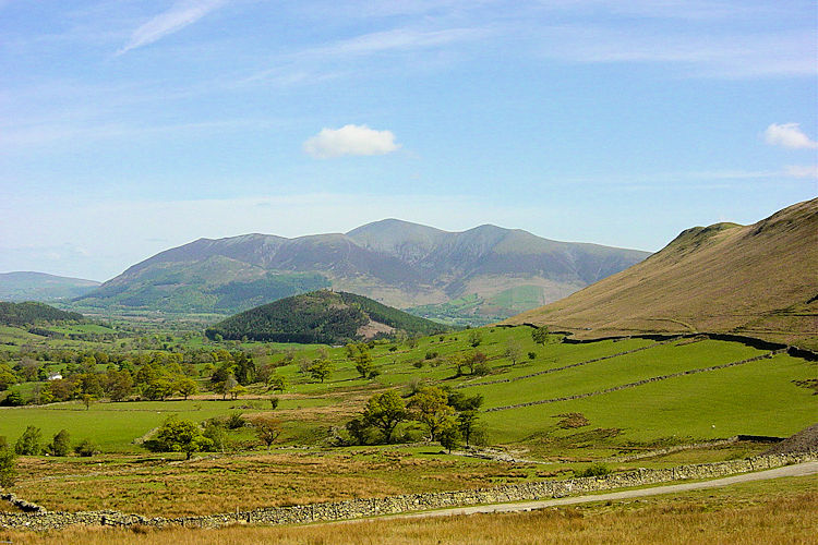
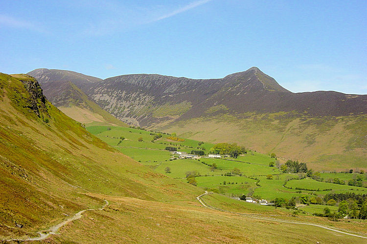
View to Skiddaw from Little TownNewlands valley on a glorious sunny morning
The track climbed up toward Hause Gate, the saddle nestled between Cat Bells on our left and Bull Crag on Maiden Moor to our right. It was a stiff, unrelenting pull from the outset. Halfway up, Steve waited by a small man-made adit hollowed out of the fellside. The morning sun was already warm, so we took the opportunity to shed layers.
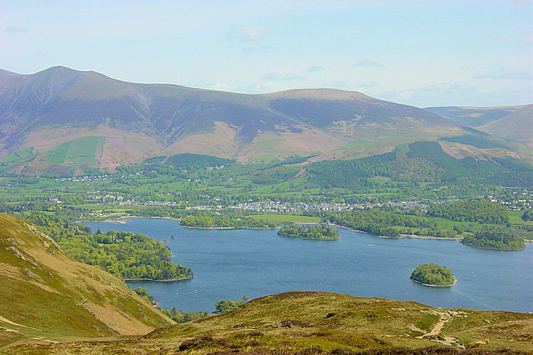
Reaching the saddle, we turned south past Trap Knotts toward Bull Crag. On a clear day like this, you simply cannot stop looking back over your shoulder. The vista across Derwent Water toward Keswick, Skiddaw, and Blencathra is among the finest spectacles in the entire National Park. I paused repeatedly, hands on knees to catch my breath, gazing back at the extraordinary scene unfolding behind us.
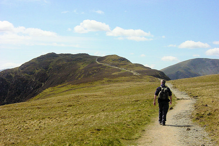
Derwent Water and Keswick seen from Maiden MoorWalking on Maiden Moor
Passing Bull Crag, the view behind was finally masked by the ridge, and we settled into the next phase of the walk. The following two miles across the wide ridge connecting Maiden Moor to High Spy were delightful. Although we were walking on open fell at an altitude of around 600 metres, the warm sunshine and complete lack of breeze gave it the gentle feel of a low-level riverside ramble.
We strolled along chatting easily, until we reached the summit of High Spy and Steve peered ahead: "I thought this was a ridge walk?" he exclaimed. "It is," I replied. "Well, that doesn't look like a ridge to me!"
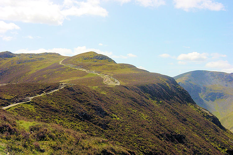
The path to High Spy from Maiden MoorView to Hindscarth from High Spy
Steve was pointing at the substantial dip down to Dalehead Tarn and the steep wall rising beyond it to Dale Head summit. "I admit it's steep," I offered, "but it's only 200 metres of ascent. We've already done twice that."
Still bantering, we dropped to the tarn, whereupon Steve powered straight up the climb without missing a beat. I followed behind using my usual steep-climb tactic—counting a hundred paces before taking a breather. In short order, we stood together beside the magnificent summit cairn of Dale Head.
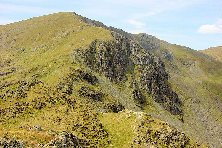
Looking from Dalehead Tarn to Dale HeadPreparing to climb again
Up to this point, we had enjoyed the ridges entirely to ourselves, but at Dale Head cairn we found company. Three separate couples arrived around the same time to enjoy lunch breaks, leaving Steve and me as the only non-couple on the peak! What we all shared was the sheer perfection of the conditions.
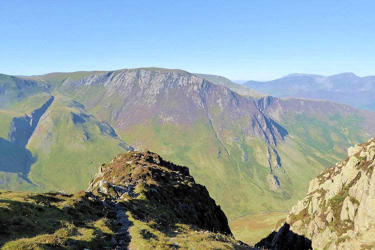
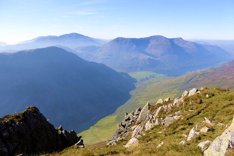
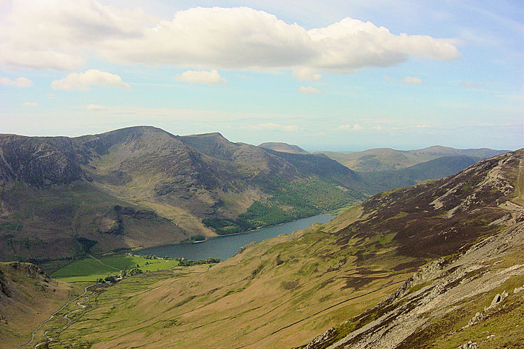
From the top of Dale Head, a whole new panorama revealed itself. To the south lay Honister Pass with the bulky silhouettes of Haystacks, High Crag, High Stile, and Red Pike, with Pillar visible in the distance where we had walked two days earlier. To the west shimmered Buttermere, while the Scafell massif commanded the southern horizon. It was a sublime mountain-spotting vantage point.
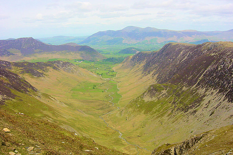
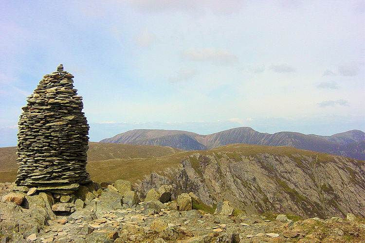
Newlands Valley as seen from Dale HeadDale Head Cairn
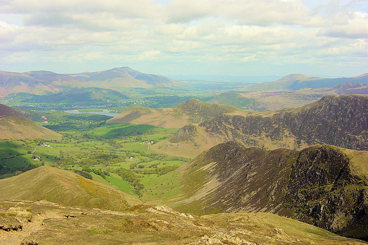
From Dale Head, our route traced Hindscarth Edge out onto the spur of Hindscarth. The spur requires a brief out-and-back along the same track, but the northern views down the spine of the valley make it well worth the detour. Rejoining the main traverse, we continued along Littledale Edge toward Robinson, the final mountain on our circuit.
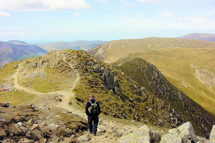
Walking from Dale Head to HindscarthOn Hindscarth
Despite the word 'edge' in their names, neither Hindscarth Edge nor Littledale Edge presents any exposure; both are broad, grassy, and easy underfoot. The final rise onto Robinson provided our third and final climb of the day—a short, sharp pull of 170 metres over half a mile.
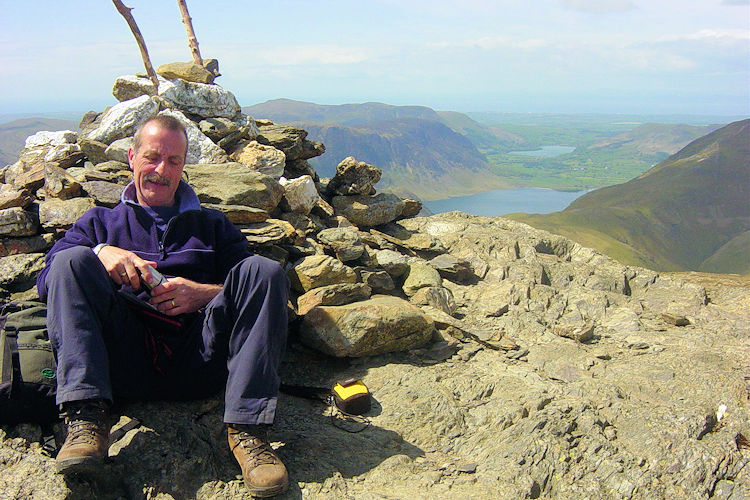
We took a well-earned lunch break at Robinson's summit cairn, looking out over Buttermere, Crummock Water, and Loweswater on the western fringe of the Lake District. As we ate, two walkers coming from the opposite direction passed by, remarking on the steep, rocky scrambles they had encountered ascending Robinson's northern ridge.
View to Buttermere from Robinson EdgeBreak time on Robinson
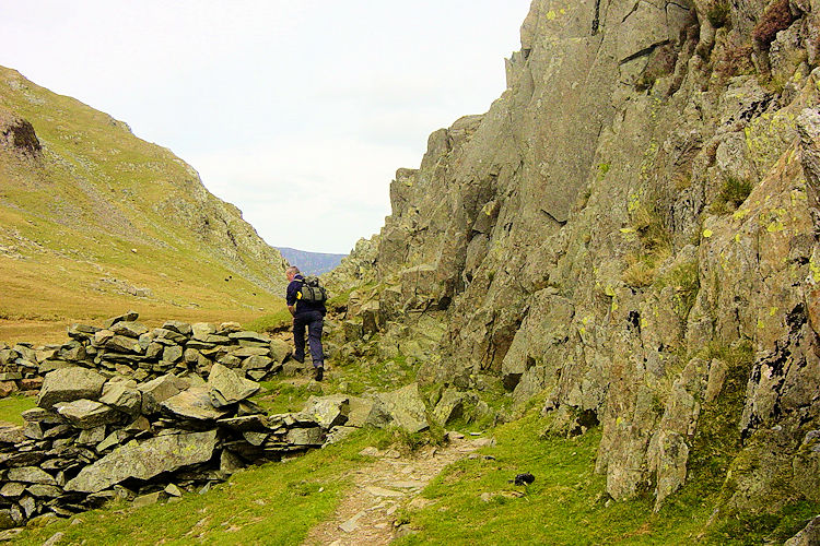
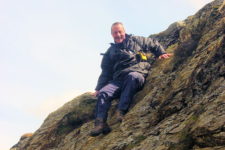
The mention of scrambles was not music to Steve's ears! Leaving the summit, we entered the trickiest descent of the day. As the photos show, the drop off Robinson toward High Snab Bank is rocky and steep in places, requiring care and the occasional hands-down scramble on rock steps. In wet or misty conditions, this section demands real caution.
Mountain viewThe scramble down from Robinson
Once past the rocky steps, the mountain eased into the welcoming grassy shoulder of High Snab Bank. We followed the descending crest down to the valley track, passing Gilbrow Wood to reach the picturesque white building of Little Town Chapel.
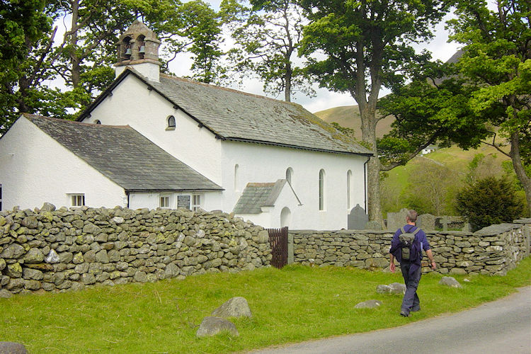
The chapel doors were open, so we stepped inside to admire the simple interior, which historically served as a local schoolhouse. From there, a short stroll brought us back to Chapel Bridge. If I were asked to recommend a single quintessential circuit in the Newlands valley, this would be it—a genuinely remarkable horseshoe walk.