Steve and I were into the final day of our Lakeland walking break. All the big challenges had been accomplished—Pillar, Crinkle Crags, Bowfell, Dale Head, Robinson, and the Old Man. All done! Now it was time to relax. It was also time to hand the map over to Steve, since I had planned all the previous routes. This final walk was his choice. What would he decide upon?
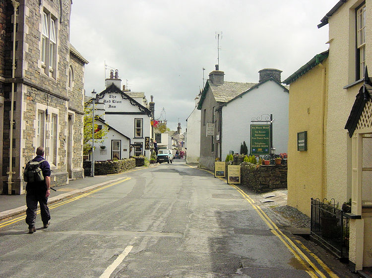
On more than one occasion during the holiday, Steve had mentioned a desire to take a boat trip. Perhaps his wish to cross water led him to choose this walk. Whatever the reason, he came up with a gem. First, the route took us to Hawkshead. (Getting there from Windermere or Ambleside is extremely easy via the Coniston Rambler Bus Service 505 running hourly). The village is delightful—compact with pedestrianised streets in the centre. We explored and enjoyed an al-fresco lunch; my Cornish pasty from the local bakery was to die for!
Satisfied and energized, we set off from Hawkshead just as the sun emerged to herald a fine afternoon. We walked eastward across lush fields toward Scar House Lane and Crofts Head, crossed a road, and passed through a gate into Colthouse Plantation, where the climbing began.
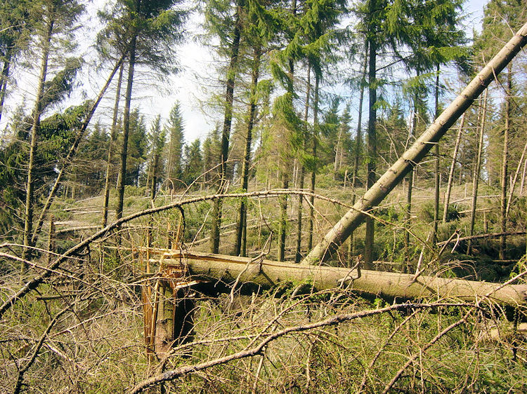
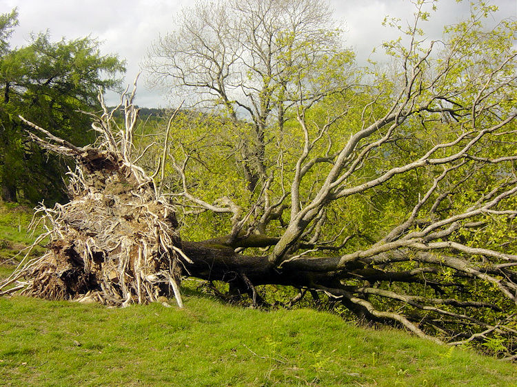
I was sweating almost immediately as the warm sun and humid atmosphere hung in the woods following the morning rain. The climb wasn't steep, just constant. As we walked through the plantation, we encountered collapsed trees everywhere. Conifers and native oaks alike had fallen victim to the devastating winter storms that hit the Lake District in January—storms that had also flooded Carlisle. Up here in the woods, the cleanup will take a very long time; thousands of uprooted and snapped trees still litter the forest floor.
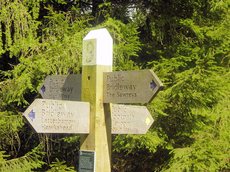
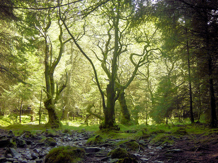
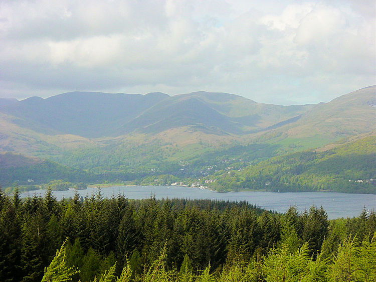
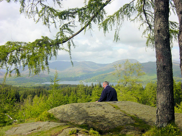
After about a mile of climbing, the terrain gave way to gentle undulations through woodland and clearings. Though paths criss-cross this popular rambling area, clear guideposts at junctions make navigation straightforward. We meandered southwards through eerie, dark tunnels of timber and patches of bright sunlight until we reached the trig point at High Blind How, our high point at 270 metres. The views across Windermere from here were simply brilliant, providing a wonderful spot for our final break.
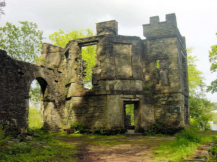
Following our break at High Blind How, we descended below the tree line, rounding Black Stone Mires and High Pate Crag. While the dense woodland largely obscured the lake, occasional gaps in the trees offered sparkling glimpses of Windermere to our left. Continuing past Scale Ivy Intakes to Mitchell Knotts, we met a group of walkers who kindly advised us we were nearing Claife Station and the ferry—though they neglected to mention the severity of the descent awaiting us!
The final descent down to Claife Station is steep indeed. We dropped from 150 metres down to 40 metres over just 300 metres of walking—with stretches steeper than 1-in-2! Brakes were firmly on, providing an unexpectedly dramatic finale to our gentle walk.
Reaching the shore, we had a short 400-metre walk along the road to the ferry house, followed by the scenic ferry crossing and a final kilometer to the bus station in Bowness. A wonderful end to a memorable week of walking!