Cleveland Way
A 109-mile National Trail in North Yorkshire combining a majestic crossing of the North York Moors in its first half with a walk along the beautiful Yorkshire coast in its second half. With map, statistics, and GPX route file.
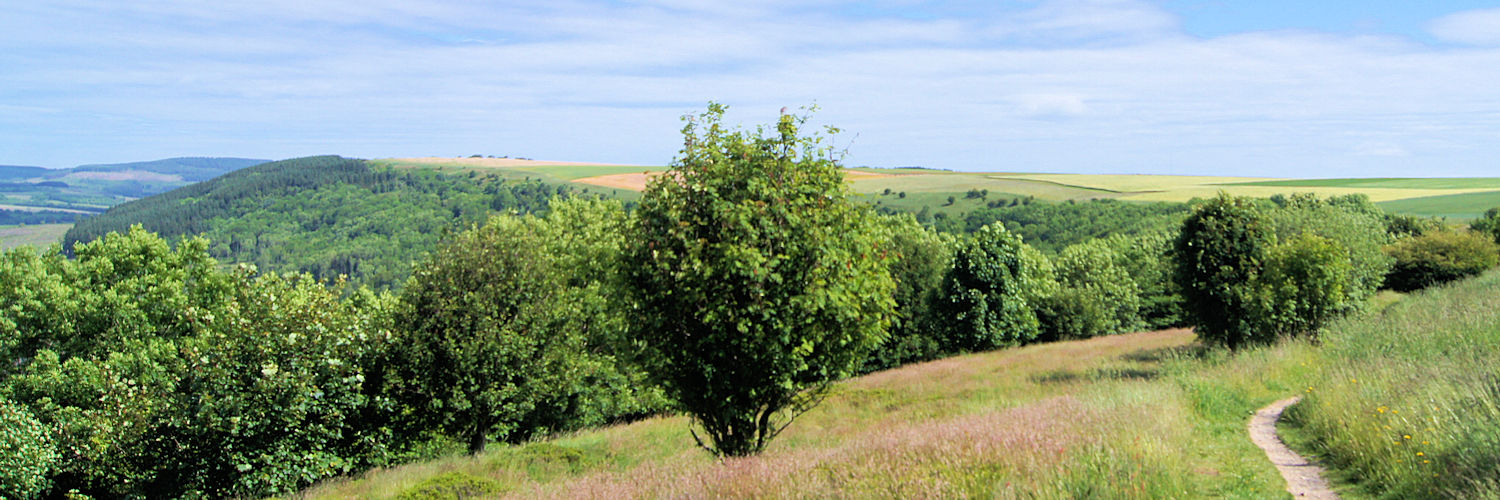
Following the Cleveland Way Footpath from Sutton Bank towards Osmotherley
Statistics and Files
Grid Ref: SE 611 839
Distance: 109 miles (175 km)
Time: 6–9 days
Duration: National Trail
Summary
A walk through 109 miles of superb North Yorkshire scenery. Opened in 1969, the walk follows the edge of the North York Moors National Park. Starting in the market town of Helmsley, the first 60 miles are walked over spectacular moorland which is at its glorious best in late summer when the heather is in full bloom. The final 50 miles follow the North Sea coastline from Saltburn-by-the-Sea to Filey. It is one of Great Britain’s most popular National Trails.
Planning & Information Resources
General Information and Planning:
National Trails of Great Britain – Comprehensive site providing route details, accommodation guides, and booking services.
Official Cleveland Way National Trail – Excellent official planning portal.
The Sherpa Van Project – Excellent itinerary planning tool for walking stages.
Ramblefest – Detailed listings for accommodation, eateries, guidebooks, maps, and public transport.
Accommodation and Baggage Transfer Services:
Absolute Escapes
Macs Adventure
Contours Walking Holidays
Discovery Travel
Sherpa Van Baggage Transfer
Brigantes English Walks
Personal Journals and Walk Reports:
Tim Whitemore’s Journal
Kevin Blount’s Photo Journal
Sally Jordan’s Trail Reflections
George Tod’s Report
Ian Fisk’s Walk Record