Coast to Coast Long Distance Path Directory
A long-distance walk of around 192 miles crossing three National Parks on its journey between the Irish Sea and the North Sea. The Lake District, Yorkshire Dales, and North York Moors share equal billing in this epic adventure. With map, statistics, and GPX route file.
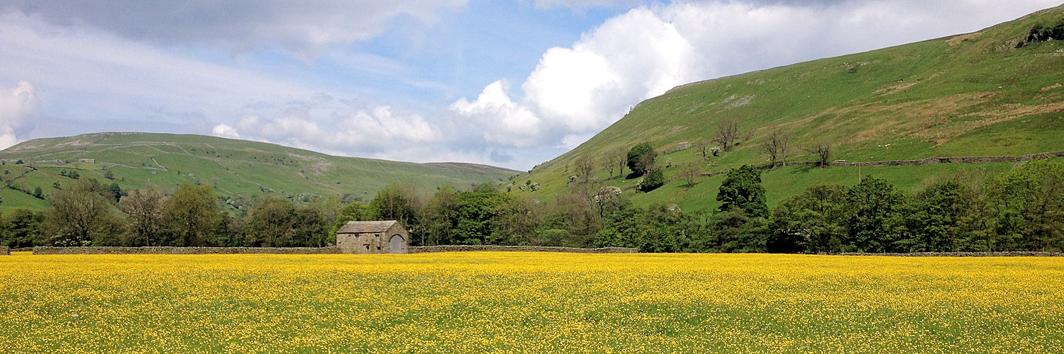
Swaledale in the Yorkshire Dales forms part of Wainwright’s Coast to Coast route
Statistics and Files
Distance: 192 miles (309 km)
Duration: 12–14 days
Time: 70–90 hours
Type: Classic Long Distance Route
Summary
The Coast to Coast is a spectacular walk. At just short of 200 miles, it crosses England from the Irish Sea to the North Sea. On its course, it crosses three of England’s finest National Parks: the Lake District, the Yorkshire Dales, and the North York Moors. It was devised by Alfred Wainwright, who planned for it to be completed in 12 days. Because of its immense popularity, bed and breakfast providers have increased close to the route, making accommodation widely accessible.
Planning & Information Directory
General Information and Planning:
Coast2Coast Info Portal
Traileasy Interactive Planner
The Wainwright Society
Guided Walking Services:
Northern Guiding
Footpath Holidays
Accommodation and Baggage Transfer Services:
Lake District Baggage Transfer
Absolute Escapes
Macs Adventure
Mickledore Walking Holidays
Independent Hostels Guide
Hillwalk Tours
Coast-to-Coast Packhorse Company
Contours Walking Holidays
Wandering Aengus Treks
Discovery Travel
Sherpa Van Service
Personal Journals: