Cumbria Way Long Distance Path Directory
A 70-mile walk in the Lake District National Park linking the historic Cumbrian towns of Ulverston and Carlisle. With map, statistics, and GPX route file.
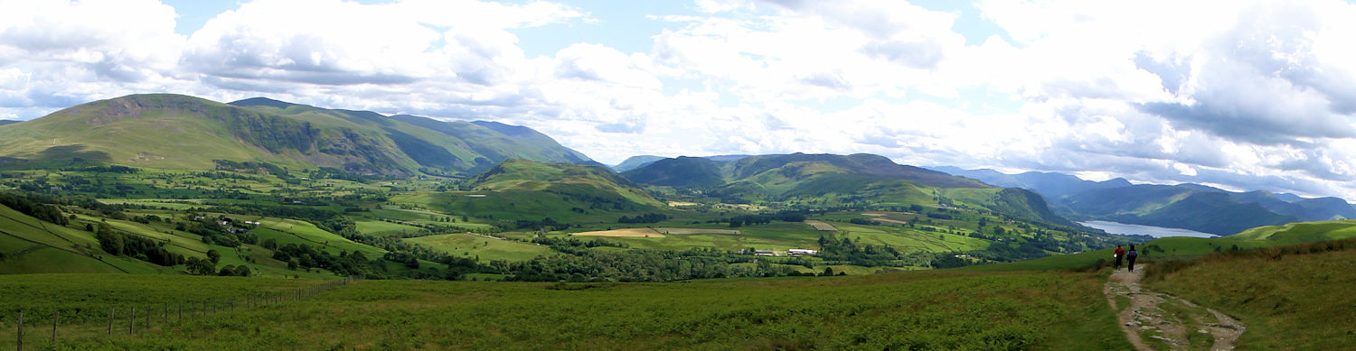
Walking towards Keswick from the north on the Cumbria Way
Statistics and Files
Distance: 70 miles (113 km)
Duration: 3–5 days
Time: 25–35 hours
Type: Long Distance Footpath
Summary
A well-loved 70-mile route through the heart of the Lake District National Park, linking the two historic Cumbrian towns of Ulverston and Carlisle. The route cuts through classic Lakeland country via Langdale, Borrowdale, Coniston, Derwent Water, and Caldbeck with plenty of scope for high-level detours. There are a few sections of high, exposed ground, but mainly the route keeps to the valleys, providing an excellent introduction to the area. The Way was originally devised by local Ramblers’ Association members in the mid-1970s. It is now signed, although the waymarking may not be as comprehensive as some other routes.
Planning & Information Directory
General Information and Planning:
Dik’s Cumbria Way Resource Centre
Ramblers Association Guide
Accommodation and Baggage Transfer Services:
Traileasy Interactive Planner
Lake District Baggage Transfer
Absolute Escapes
Contours Walking Holidays
Celtic Trails
Discovery Travel
Mickledore Walking Holidays
Sherpa Van Service
Accommodation Planning:
S H Systems Accommodation Directory
Independent Hostels Guide
Personal Journals: