Glyndwr’s Way
A 132-mile National Trail making a horseshoe route in the heart of the mid-Wales countryside. Explores the rich fauna and flora of this beautiful land, visiting places associated with Owain Glyndwr. With map, statistics, and GPX route file.
Statistics and Files
Distance: 132 miles (212 km)
Summary
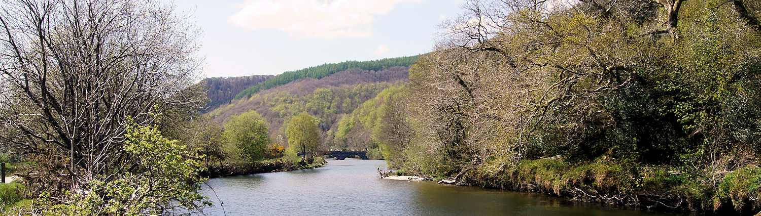
Opened in 2002, Glyndwr’s Way is an official National Trail in Wales running through some of the finest scenery in the country. It is named after Owain Glyndwr, the legendary Welsh leader who led a successful revolt against the English in 1400. The walk traverses a variety of scenery and terrain, from river edges and ancient woodlands to lakes, reservoirs, and open hill-country. The route follows a line through long green valleys and the secluded hills of the Radnorshire Hills, where much of Glyndwr’s campaign against the English was conducted.
Planning & Information Directory
General Information and Planning:
National Trails of Great Britain – Comprehensive details on the route, accommodation guides, booking service providers, and maps required.
Guided Walking:
None available at present.
Accommodation and Baggage Transfer:
• The Walking Holiday Company – Itineraries and route options including accommodation and luggage transfers.
• Celtic Trails – Full self-guided walking holiday service.
• Macs Adventure – Full complement of support services for the walk.
• Contours – Self-guided walking services with excellent itinerary options.
• Peter’s Taxis – Based in Machynlleth, covering passenger, bicycle, and pet transfers for central Wales.
Accommodation Planning:
• S H Systems – Extensive searchable accommodation directory sorted by location, price, or rating.
• The Glyndwr’s Way Association – Interactive website making accommodation booking easy and fun.
Personal Journals:
• Kevin Blount’s Journal – Detailed report with photographs taken along the full length of the trail.
Safety Advice & Emergency Services:
• Ramblers Association Safety Advice – Practical guidance on map reading, navigation, and essential gear.
• Mountain Rescue UK – Vital mountain safety and rescue resources.
Feedback and Suggestions
I am always pleased to receive feedback on the structure and content of the website, as well as suggestions for improvements, new routes, or trail alterations. Please get in touch via social media.
(Note: Walking without proper preparation can be dangerous. Information and downloads on this website are provided free of charge; it is each walker’s responsibility to check the material and use accordingly. My walk reports are personal reflections and should not be treated as official route guides.)