Great Glen Way
A 73-mile National Trail following the Great Glen faultline from Fort William in the west to Inverness in the east. With map, statistics, and GPX route file.
Statistics and Files
Distance: 73 miles (117 km)
Summary
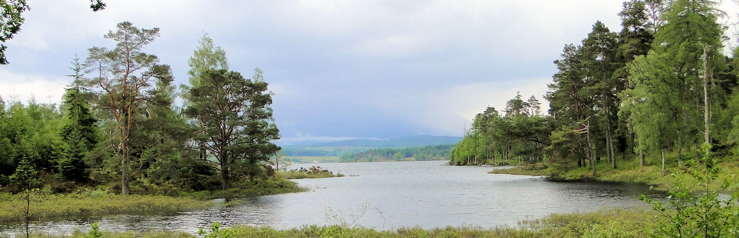
The Great Glen Way is 73 miles long, running from Fort William in West Scotland to Inverness in the east. It follows a lowland course, mainly on loch-side towpaths and woodland tracks. Much of the walk is done alongside the Caledonian Canal (including Loch Lochy and Loch Ness), offering every chance of spotting Nessie along the way! For the more adventurous, there are plenty of opportunities to ascend nearby Munros or Corbetts close to the route. It is a superb, less-challenging long-distance path that serves as a wonderful introduction before tackling more grueling challenges in the future.
Planning & Information Directory
General Information and Planning:
• Outdoor Highlands – Dedicated site providing essential walk planning details.
• Traileasy – Interactive map displaying accommodation along the route for stage planning.
• Great Glen Way Guide – Dedicated site providing full trail services.
• Undiscovered Scotland – Useful resource links and overview.
Guided Walking:
None available at present.
Accommodation and Baggage Transfer:
• Absolute Escapes – Comprehensive dedicated site for travel services.
• Macs Adventure – Full complement of support services for independent walkers.
• Make Tracks – Full range of walking services for the Great Glen Way.
• Hillwalk Tours – Specialised long-distance walking services in Ireland and the UK.
• Celtic Trails – Full self-guided walker services.
• Transcotland – Scottish company providing full self-guided walker support.
• Contours – Self-guided walking services with excellent navigation.
• CNDO Scotland – Independent Scottish walking services.
• Easyways – Dedicated accommodation booking service.
Accommodation Planning:
• S H Systems – Searchable accommodation directory sorted by price, postcode, or rating.
• Great Glen Way.com – Comprehensive accommodation listings for the route.
• Independent Hostels Guide – Hostels and bunkhouses on or near the route.
Personal Journals:
• Kathy & Polly the Dog – A lovely report of the walk with a canine companion.
• The Pighole Team Report – Detailed group walk report and reflections.
Safety Advice & Emergency Services:
• Ramblers Association Safety Advice – Practical guidance on map reading, navigation, and essential gear.
• Mountain Rescue UK – Vital mountain safety and rescue resources.
Feedback and Suggestions
I am always pleased to receive feedback on the structure and content of the website, as well as suggestions for improvements, new routes, or trail alterations. Please get in touch via social media.
(Note: Walking without proper preparation can be dangerous. Information and downloads on this website are provided free of charge; it is each walker’s responsibility to check the material and use accordingly. My walk reports are personal reflections and should not be treated as official route guides.)