Peddars Way and Norfolk Coast Path Directory
The National Trails of East Anglia are featured in this concise directory containing everything you need to know about these two fabulous long-distance walks.
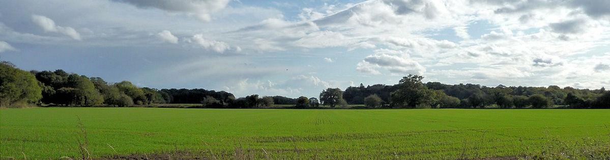
The Peddars Way starts on Knettishall Heath near Thetford and follows generally flat fen country across Norfolk to the sea — a distance of some 46 miles. Along the way, the path follows an old Roman road through the Norfolk countryside to the beginning of the Norfolk Coast Path near Hunstanton. The Romans built the road as part of their successful efforts to subdue the rebellious Iceni tribe in 61 AD. The Iceni tribe, led by Boadicea, razed Colchester and London before being brought to bay. The name “peddar” was not applied to the path until the Middle Ages, when it seems to have been a generic term for a footpath.
The route is an enjoyable mix of country lanes, footpaths, and tracks. At Holme-next-the-Sea, the path turns east onto the Norfolk Coast Path and travels through the Norfolk Coast Area of Outstanding Natural Beauty (AONB) to Cromer. The area is rich in salt marshes, dunes, and clay cliffs, as well as quiet villages notable for their flint and brick architecture.
General Information and Planning
Guided Walking
Accommodation and Baggage Transfer Services
Accommodation Planning
Personal Journals
Safety Advice and Emergency Services
Feedback and Suggestions
I am always pleased to receive feedback on the structure and content of the website. I also welcome suggestions on how I can improve the website, which may include new areas to cover, new walks, or route alterations to existing walks. To get in touch, please contact me via social media. Thank you.
(Note: Walking without proper preparation can be dangerous. Information and downloads on this website are provided free of charge; it is each walker’s responsibility to check the material and use accordingly. Postscript: My walk reports are not route guides and should not be treated as such. They are written with personal reflections of my walks.)