Pembrokeshire Coast Path Directory
An 186-mile long-distance path and National Trail in Wales following the stunning coast around Pembrokeshire. With map, statistics, and GPX route file.
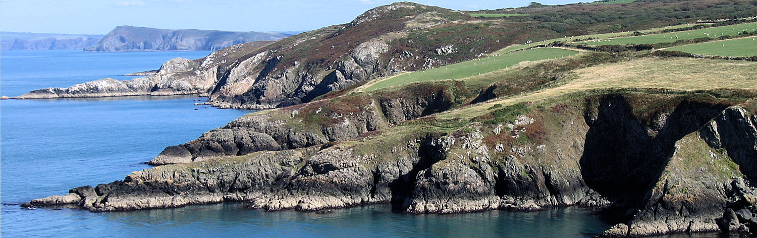
Wales’ first long-distance route, the Pembrokeshire Coast Path covers 186 miles, with most of the route lying within the Pembrokeshire Coast National Park. The Coast Path follows the county’s magnificent coastline from Amroth in the south to St Dogmaels in the north.
Much of the route is at cliff-top level, providing superb views of the sea, beaches, and offshore islands with their wealth of marine and bird life. Elsewhere it follows gentler shorelines, including the outer reaches of the Milford Haven estuary, one of the finest natural harbours in the world. The entire route represents an impressive physical challenge to the walker, including 35,000 feet of ascent and descent, whilst for those who prefer something a little less demanding, it offers a tremendous variety for shorter day walks.
General Information and Planning
Guided Walking
Accommodation and Baggage Transfer Services
Accommodation Planning
Personal Journals
Safety Advice and Emergency Services
Feedback and Suggestions
I am always pleased to receive feedback on the structure and content of the website. I also welcome suggestions on how I can improve the website, which may include new areas to cover, new walks, or route alterations to existing walks. To get in touch, please contact me via social media. Thank you.
(Note: Walking without proper preparation can be dangerous. Information and downloads on this website are provided free of charge; it is each walker’s responsibility to check the material and use accordingly. Postscript: My walk reports are not route guides and should not be treated as such. They are written with personal reflections of my walks.)