Pennine Way Long Distance Path Directory
A 268-mile long-distance path in the North of England and Southern Scotland. The first National Trail ever devised and still the most demanding — a seriously good walk. With map, statistics, and GPX route file.
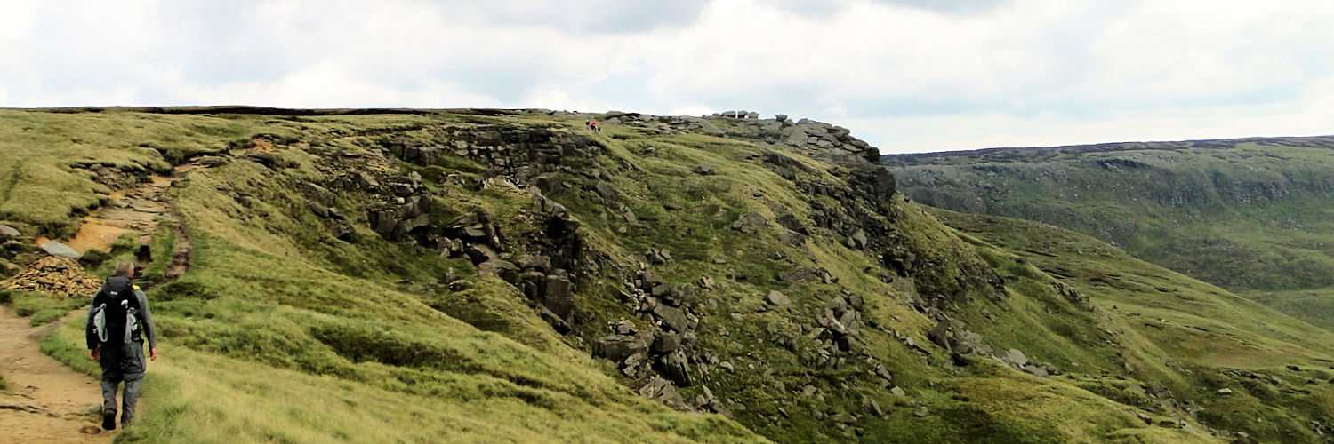
The Pennine Way is the most popular Long Distance Footpath in England. It is also one of the longest at 268 miles. The path starts at Edale in the Peak District and ends at Kirk Yetholm in the Scottish Borders.
The walk follows the Pennine backbone and crosses three national parks on its route. The average walking time is 16 days, though three weeks is not uncommon for first-time long-distance walkers.
General Information and Planning
Guided Walking
Accommodation and Baggage Transfer Services
Accommodation Planning
A Good Place to Stay
Safety Advice and Emergency Services
Feedback and Suggestions
I am always pleased to receive feedback on the structure and content of the website. I also welcome suggestions on how I can improve the website, which may include new areas to cover, new walks, or route alterations to existing walks. To get in touch, please contact me via social media. Thank you.
(Note: Walking without proper preparation can be dangerous. Information and downloads on this website are provided free of charge; it is each walker’s responsibility to check the material and use accordingly. Postscript: My walk reports are not route guides and should not be treated as such. They are written with personal reflections of my walks.)