Ridgeway National Trail Directory
The oldest National Trail of them all. Though it is not the first National Trail to be officially opened, it travels on paths used by the most ancient of folk. The Ridgeway was a popular walking route in the Iron Age and probably long before that. With map, statistics, and GPX route file.
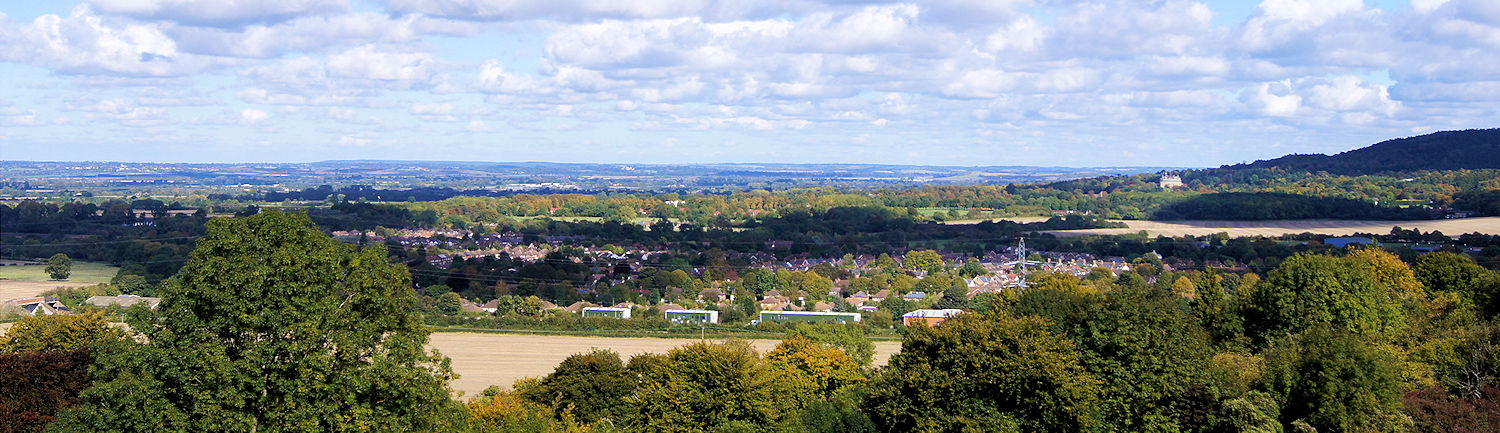
The Ridgeway runs from Overton Hill, near Avebury, to Ivinghoe Beacon. The start of the path is just down the road from the stone circle at Avebury and almost in sight of the mysterious conical mound of Silbury Hill.
The path wends its way across the chalk downs through at least three hill forts and passes within feet of the burial mound at Wayland’s Smithy and the White Horse at Uffington. The landscape becomes more varied after Goring, where the path crosses the Thames before climbing into the deciduous groves of the Chiltern Hills. The scenery is exhilarating, and if you have the luck to reach Ivinghoe Beacon on a blustery day, you’ll find it crowded with locals flying every sort of kite imaginable.
General Information and Planning
Guided Walking
Accommodation and Baggage Transfer Services
Accommodation Planning
Personal Journals of the Walk
Safety Advice and Emergency Services
Feedback and Suggestions
I am always pleased to receive feedback on the structure and content of the website. I also welcome suggestions on how I can improve the website, which may include new areas to cover, new walks, or route alterations to existing walks. To get in touch, please contact me via social media. Thank you.
(Note: Walking without proper preparation can be dangerous. Information and downloads on this website are provided free of charge; it is each walker’s responsibility to check the material and use accordingly. Postscript: My walk reports are not route guides and should not be treated as such. They are written with personal reflections of my walks.)