Thames Path Long Distance Path Directory
A 184-mile long-distance path and National Trail following the River Thames from its source at Thames Head in Gloucestershire to the Thames Barrier in the City of London. With map, statistics, and GPX route file.
Statistics and Files
Distance: 184 miles (296 km)
Duration: 10–14 days
Summary
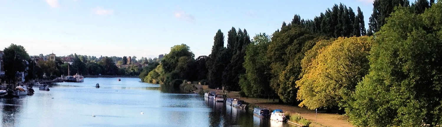
The Thames Path is 184 miles long and follows the river downstream from its source at Thames Head near Kemble to the Thames Barrier in the City of London. It is a splendid and popular riverside trail leading from the rural Cotswolds to the capital through beautiful countryside and fascinating urban areas such as Oxford, Henley, Windsor, and Greenwich.
A path along the Thames was among the original list of long-distance routes proposed by the Hobhouse Committee in 1948 and was subsequently keenly supported by the Ramblers’ Association, who published David Sharp’s first guide to the route in 1981. It was finally opened as a National Trail in 1996.
Planning & Resource Directory
The best websites for General Information and Planning:
National Trails of Great Britain — Comprehensive site providing details on the route, including accommodation guides, booking service providers, and required maps.
The websites that organise accommodation and/or baggage transfer:
Xplore Britain — Full range of self-guided walking services.
Instep Holidays — Independent company providing full self-guided services.
Contours — Full self-guided service for the western part of the path.
Thames Path Transfers — Dedicated luggage transfer service.
The best websites for you to plan your accommodation:
S H Systems — Excellent range of accommodation. Search by location, price, postcode, or rating.
The best personal journals of the walk:
My Thames Path Walk — Read about the enjoyment experienced on this wonderful walk in 2021.
Keith Pauling — An inspirational online journal penned by Keith.
The essential sites for safety advice and emergency services:
Ramblers Association — Practical walking advice on keeping safe, map reading, navigation, and essential gear.
Mountain Rescue UK — Emergency mountain rescue advisory.
Feedback and Suggestions
I am always pleased to receive feedback on the structure and content of the website. I also welcome suggestions on how I can improve the website, which may include new areas to cover, new walks, or route alterations to existing walks. To get in touch, please contact me via my social media links. Thank you.
(Note: Walking without proper preparation can be dangerous. Information and downloads on this website are provided free of charge; it is each walker's responsibility to check the material and use accordingly. Postscript: My walk reports are not route guides and should not be treated as such. They are written with personal reflections of my walks.)