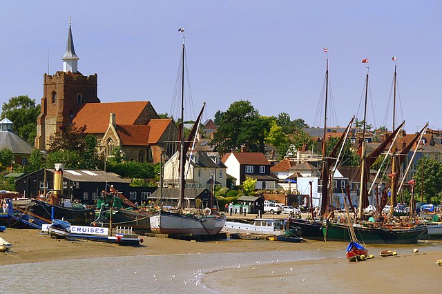
The walk begins in the town center, near the Swan Hotel (one of the town's oldest pubs), and heads down towards the waterfront. The Hythe is dominated by the tall masts of sailing barges restored for recreational use. These dual-purpose flat-bottomed boats were towed like normal barges on shallow inland waterways, carrying loads of hay and straw stacked so high that they appeared from a distance to be mobile ricks, while their sails were hoisted for trips out around the coast and into the Thames and other tidal reaches.
Rising high above the Hythe is St Mary's Church, an important navigational marker for skippers of small craft on the tideway. HMS Jersey, the first ship commissioned by the newly named Royal Navy, was built in Maldon and saw action in the Battle of Solebay in 1672, while nearby street names like Rope Walk and Dyers Road also testify to a shipbuilding tradition (and exhibits in the Maritime Museum capture the salty tang of the area).
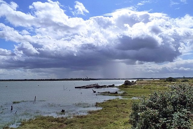
You walk out of town along the sea wall towards Northey Island, which can be reached at low tide via a Roman causeway. The island is owned by the National Trust and operated as a nature reserve by the Essex Wildlife Trust for the bird life of the estuary. Just inland from the causeway is the site of the Battle of Maldon, an encounter between Saxons and Vikings over 1,000 years ago.
The walk leads back into the town along America Street to the Friary, a Carmelite foundation of 1292 that is now a community center. Through Chequers Lane at the top of Market Hill is St Peter's, a redundant church housing a county branch library downstairs and the Plume Library above (named after Thomas Plume, born in the town and Bishop of Rochester in the 17th century).
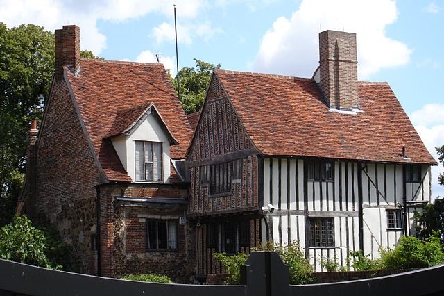
Sir Robert D'Arcy's Moot Hall, built in 1440, is supported by pillars and overhangs the High Street pavement, featuring a fine medieval newel staircase and becoming the Civic Center in 1576. Nearby is the 13th-century parish church of All Saints, which has a very unusual three-sided tower topped by a hexagonal spire.
The walk now heads out of town on an elevated path with good views across the lowlands. You go beneath the new bypass, which crosses the River Chelmer on a bridge between the embankments of a disused railway. Continuing into the quiet countryside, you reach Beeleigh Abbey. Now the private home of members of the Foyle family, it was originally a house of canons founded by Robert de Mantell and closed in 1536.
Nearby are Beeleigh Falls, actually a series of weirs originally constructed to divert leat water from the River Chelmer to Beeleigh Mill and from the River Blackwater to power Langford Mill. When a canal was built in the 18th century joining the two rivers, Speeny Lock was constructed and a third weir made to discharge surplus water from the canal into the tidal section of the Chelmer.
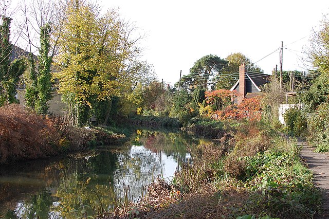
You cross the rivers and eventually walk along the towpath of the Chelmer and Blackwater Navigation. At the end of the 18th century, Richard Coates created 11 miles (17.6 kilometres) of canal by the Chelmer intending to take barges into Maldon; however, excessive tariffs forced him to adopt this new route through Heybridge and the sea wall at Collier's Reach, creating the small village of Heybridge Basin. The towpath crosses a dismantled railway (from 1889 until the 1960s, the line linked Maldon's two stations to the rest of Essex).
In Heybridge, there are several good inns by the 12th-century St Andrew's Church, whose walls are typical of Essex churches in being made of a mix of flint, puddingstone, imported dressed stone, and recycled Roman tiles.
You return to Maldon by walking along the towpath and crossing Fullbridge, which once carried all traffic through the town. As you walk along the waterfront towards Butt Lane and the end of the walk, you pass the factory of the Maldon Crystal Salt Company, founded in 1777 to extract salt from seawater by evaporation — an industry first practiced here in Roman times (the so-called "red hills" around the town are spoil from Roman salt manufacture).