Advertisement

Perth, Branklyn Garden and Kinnoull Hill

From a Scottish City Park to a Ruined Wagnerian Castle

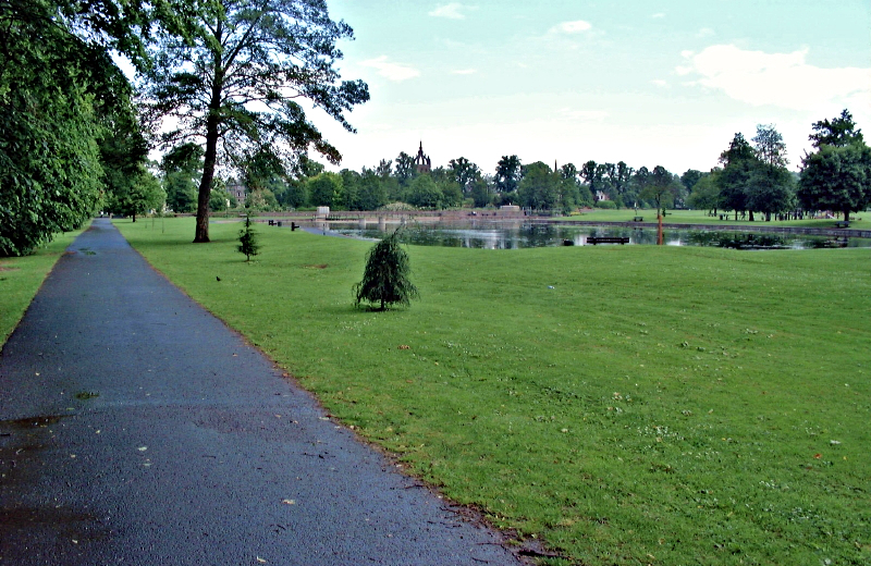
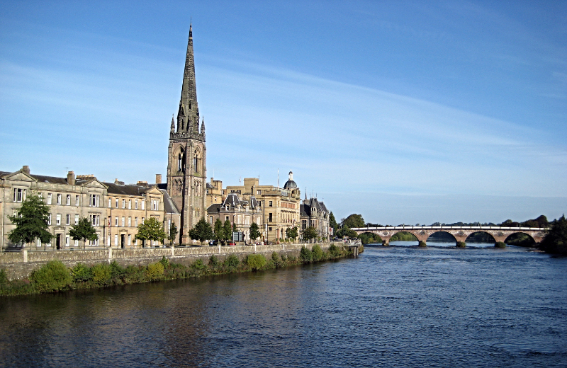
Perth was once the capital of Scotland. Situated on the River Tay, it prospered as a port. Today it is a city with a mainly Georgian centre and two riverside parks. The walk starts in one of them, South Inch Park.

Start Point
South Inch Park
Grid Ref: NO 12049 23015
Total Distance
5.3 miles (8.5 km)
Total Climbing
308 metres
Estimated Time
3 hours
Difficulty Grade
Easy

Ordnance Survey Explorer Map (1:25,000)

Essential paper map for exploring Perth and Kinross:
The Walk Report

Across the road from the northeast corner of South Inch Park stands the imposing Round House. Designed by Dr Adam Anderson (Rector of Perth Academy) and built in 1832, it originally housed a pumping station supplying water to the city before serving as a tourist information centre and art gallery.

Across the railway bridge is Moncreiffe Island, boasting King James IV Golf Club (built over a century ago, contained entirely on the island and inaccessible by car). Across the river from the clubhouse is Perth Harbour, still used as a commercial port on the tidal River Tay.

Across the river is Branklyn Garden, owned by the National Trust for Scotland and featuring superb displays of flowers, shrubs, and trees in a small private garden open from March to October.

Perth and the River Tay
South Inch Park, Perth
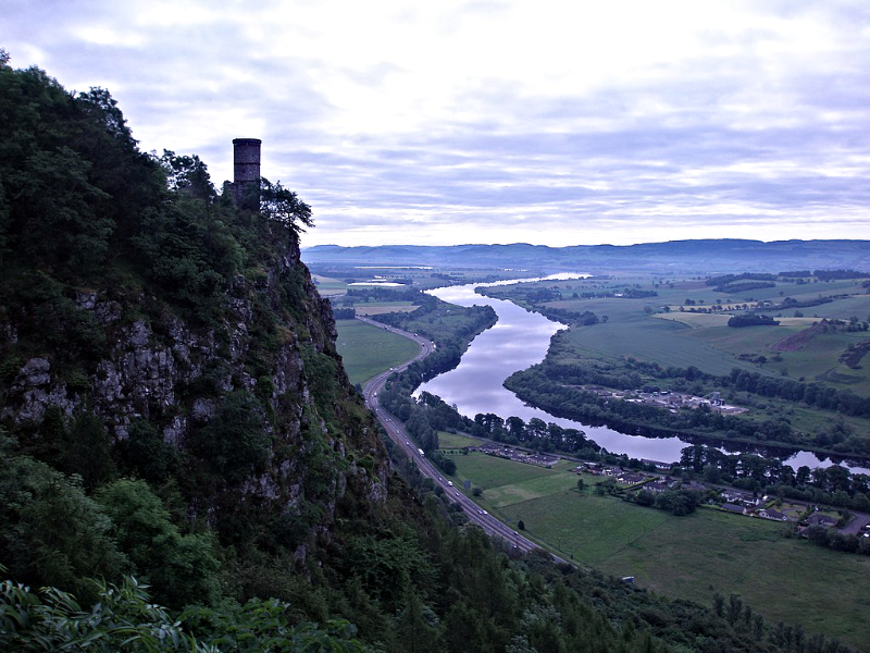
The tower on Kinnoull Hill
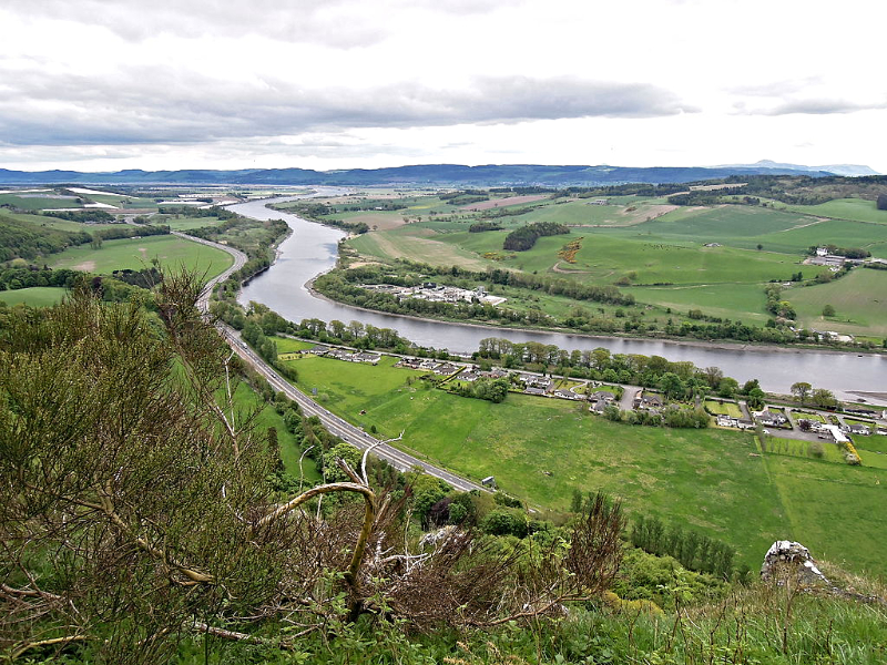
River Tay flowing downstream to Dundee

You then climb steeply onto Kinnoull Hill, walking above dramatic cliffs overlooking the Tay. At the summit is the Earl of Kinnoull's Table (a stone slab set up for the Earl and friends to enjoy the panorama). Views to the south take in the twin summits of the Lomonds of Fife, while to the east the Tay sweeps towards Dundee and the sea.

Given to the city in 1924, Kinnoull Hill features a network of woodland paths and Kinnoull Tower — a 19th-century folly built for the 9th Earl of Kinnoull to resemble ruined castles seen on the Rhine during his grand tour. The walk crosses Kinnoull Hill to Corsiehill, offering a magnificent mountain panorama from Ben More and Stob Binnein in the west across Beinn a' Ghlò to Glas Maol, clearly showing the Highland Boundary Fault crossing Scotland diagonally.


Acknowledgment: Text derived from the Out and Out Series; Discovering the Countryside on Foot. Pictures courtesy of Wikipedia.

Advertisement

Join The Walking Englishman Community

Connect with other walkers, share trail photos, and keep up to date with my latest route notes.