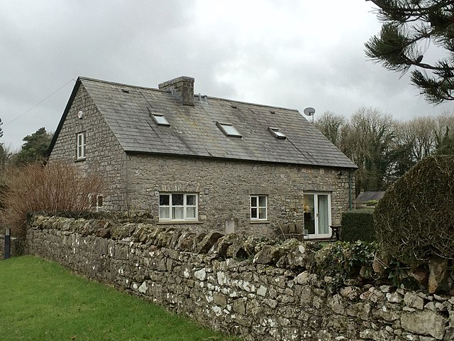
The route leads through the village of Merthyr Mawr, a scattering of houses spread out along the road — many untouched, some with wonderfully irregular roof lines and eyebrows of thatch above their upper windows. The old post office has a particularly interesting chimney that appears halfway up the gable wall. It is worth exploring the village to admire its attractive houses, but the main walk turns off past the post office to follow the high walls surrounding the parkland of Merthyr Mawr House.
Along the way, the iron gateway to Home Farm looks exactly like those once used as toll gates on Welsh roads. Ornamental trees lean out over the park wall, and from the rookeries here the air is filled with raucous cries, while pheasants inhabit the fields beside the road.
Having left Merthyr Mawr, you join a broad rough track with views of the low hills to the north. Passing the whitewashed, slate-roofed Whitney Farm, the track gives way to a green lane, then bends around the edge of a patch of woodland and crosses fields by a series of stiles to the main road.
The busy A48 road comes as a noisy but very brief intrusion, and almost immediately the route turns off over a stone stile through a hedge — a distinctive type of stile very common in this part of the world. The loop continues across grassy fields and through a small copse. Nearby is the site of an ancient enclosure and a long barrow. For this part of the walk there are good views back to Trelales (Laleston) with its prominent church tower, and to the hills beyond. Up ahead is the hamlet of Tythegston and the impressive buildings of Tythegston Court.
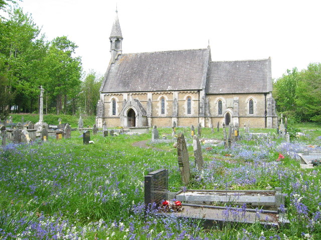
Tythegston Church, although usually locked, is reached by an attractive cobbled path. From the hamlet, the route follows a narrow country lane bordered by hedgerows and trees as it winds gently uphill.
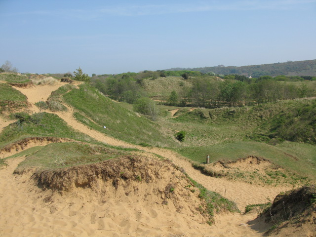
Eventually this gives way to a rough farm track leading to some sand dunes. This attractive area has pine trees growing in the sandy soil, alongside dainty pink-tinged sea bindweed and viper's bugloss of a lovely deep purple colour. Just short of Candleston Farm, the route leaves the track for a stony path that runs down through woodland to an area of huge dunes.
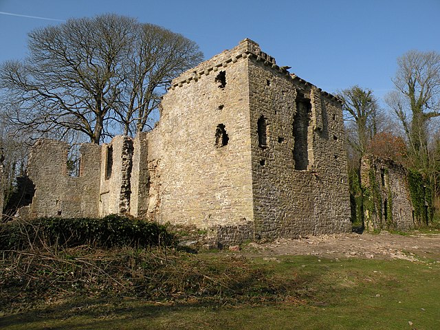
The path ends beside Candleston Castle. The name is misleading, as the castle was actually a 14th-century fortified manor house. Though today it stands in ruins, some of the outer fortifications survive, and what remains of the house has a more domestic air. The dark basement area is crudely vaulted, but at first-floor level you can see the fireplace of the Great Hall with parts of its intricately carved stones around it. From here it is a short walk back to the car park.
Acknowledgment: Text derived from the Out and Out Series; Discovering the Countryside on Foot. Pictures courtesy of Wikipedia.