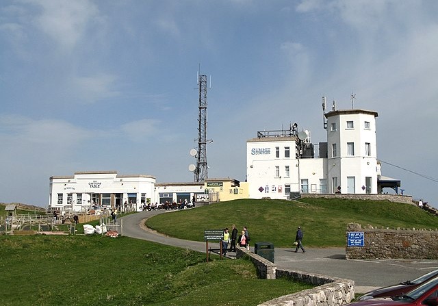
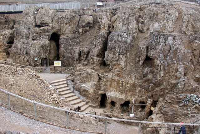
The walk begins near the Summit Complex, some 679 feet (207 metres) above sea level, with extensive views along the coast. Just below are the mines where copper was extracted from about 1700 to the 1860s.
Georgian miners discovered earlier workings which were attributed to the Romans, but recently stone hammers and bone scraping tools have been unearthed, and carbon dating suggests the mines were in use between 600 and 1800 BC. Until this discovery it had been supposed that British Bronze Age copper had all been imported.
About 50,000 tonnes of mining waste have been removed and the old tunnels excavated. One large chamber contained a great number of stone and bone tools, with little evidence of modern drilling and blasting. These Bronze Age mines are currently thought to be the largest of their kind in the world, and there is every indication that what has been discovered is only a fraction of what remains, making this newly opened attraction still very much a working archaeological site.
The route continues past the Halfway Station of the Great Orme Tramway. When the Victorians were developing Llandudno as a seaside resort, they realised a ride to the summit of the Great Orme would be a major attraction; work began in 1898 and the tramway opened in 1902.
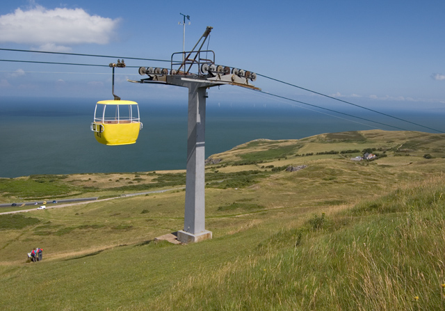
The line has two sections, each with a winding house. The trams — one ascending and one descending — are pulled by cables on a single-track line, except at the passing places at the halfway point. A more modern ride to the summit is provided by the cable car, whose journey of one mile (1.6 kilometres) each way is the longest in Britain.
A straight path leads down the seaward side of the headland to the Church of St Tudno, a Welsh Christian missionary who came to the Orme in the 6th century. His original wooden church was replaced by a stone one in the 12th century, which fell into disrepair before being fully restored in 1855.
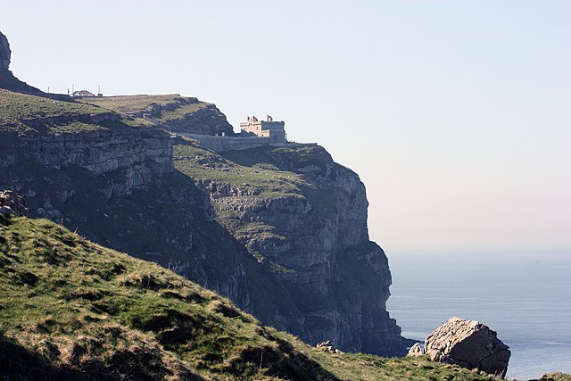
The route follows Marine Drive around the headland with magnificent views of the cliff and coastal scenery. Guillemots, razorbills, kittiwakes, and fulmars nest on these cliffs, and as the walk passes the old lighthouse there are fine views of Anglesey, while further around the Carneddau Mountains of Snowdonia can be seen.
The route climbs back up towards the start on Monk's Path, which remains green even in periods of drought (local legend has it that this is due to the number of holy feet that once climbed up the path from Gogarth Abbey on the coast below).
The path ascends through heath and grassland, nearing the summit and passing an area of heath preservation. Wild thyme, salad burnet, and common rockrose can be found, as well as the rarer limestone-loving hoary rockrose and dropwort.
The abundance of wildflowers attracts butterflies such as peacocks, meadow browns, commas, and red admirals, and if you are fortunate you may see the silver-studded blue and an unusual small race of the grayling found here and nowhere else in Britain.
Acknowledgment: Text derived from the Out and Out Series; Discovering the Countryside on Foot. Pictures courtesy of Wikipedia.