Wales Coast to Coast — Stage 16: Crickhowell to Little Mountain
A record of the Walking Englishman's 246-mile coast-to-coast journey from Conwy in North Wales to Cardiff in South Wales.
Statistics and Files
Ordnance Survey Explorer Maps (1:25,000):
OL13 Brecon Beacons / Bannau Brycheiniog: Eastern Area
152 Newport and Pontypool / Casnewydd a Pont-y-pŵl
Summary
Today is the last of the mountain stages as I cross the Monmouthshire south-east edge of the Brecon Beacons National Park to end at Little Mountain near Pontypool. There is 1,250 metres of climbing in total during the walk, most of it on the ascents of first Sugar Loaf and second Blorenge. Other highlights include a visit to Abergavenny, visits to sites of industrial heritage, and an unexpected meeting with a peregrine falcon.
The Walk
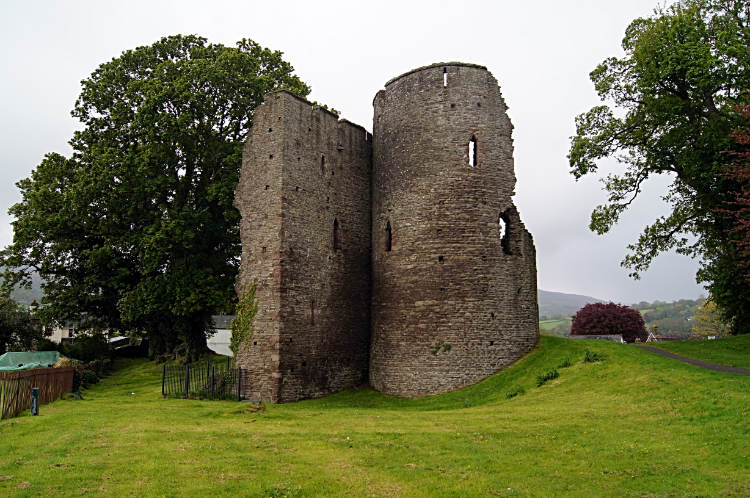
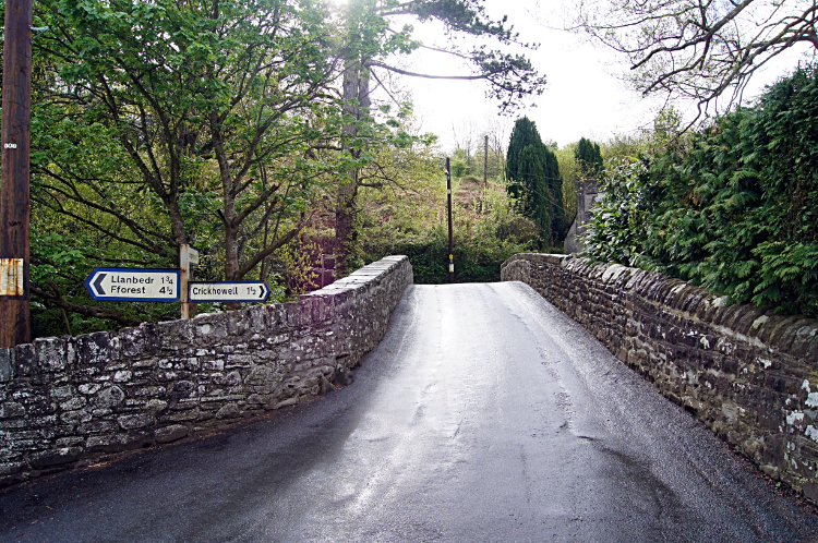
Back on my tod after three fun-packed days with Strolling Steve, I at least could make my own pace and take time out to look over sites of interest as much as I wanted (due to using taxis Steve and I had worked to the clock over the last few days). Anyway, my sightseeing began at Crickhowell Castle which I took a good look around (not that there was much to look at — it did not take long!). From the castle I followed the road leading from Crickhowell to Llanbedr and cutting away from it to track past a large farm and over fields in a line due east towards Llangenny. It was a muggy morning and the roads were damp, but no rain was falling and I expected better soon — a second good day in a row! I could scarcely believe it as I headed down into Llangenny, and when I came to the road bridge in the village descent turned to ascent.
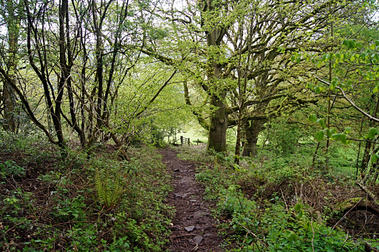
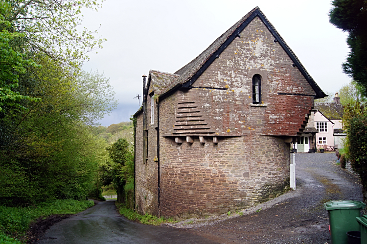
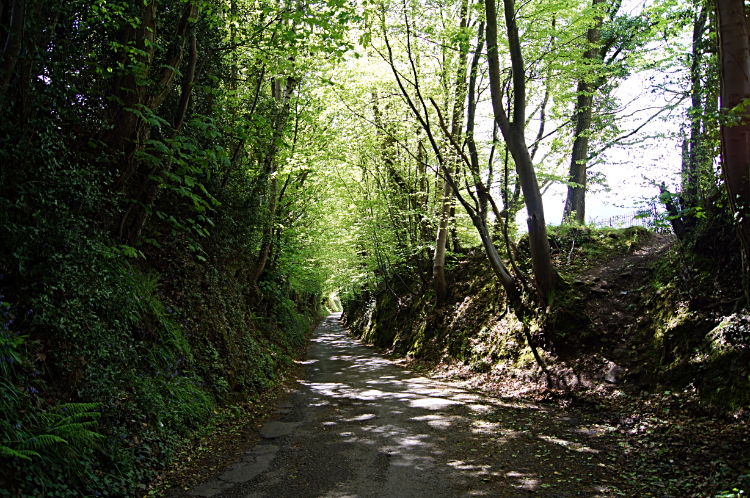
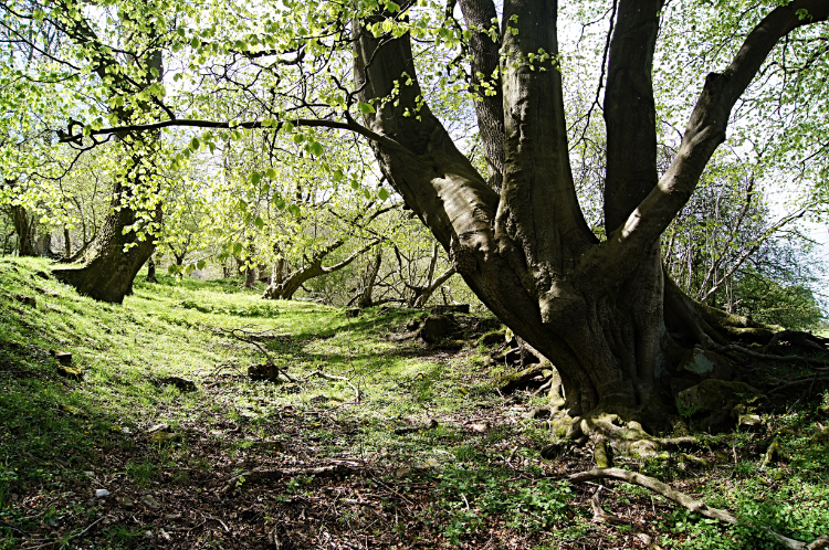
The walk up the road was a constant, unrelenting climb — in half a kilometre I climbed 75 metres to a crossroads, and in the next kilometre I achieved another 100 metres of ascent, by which time I had run out of road and was now walking beyond the last farm on the road and across a field to a height of just short of 300 metres elevation. On the road section I had been enclosed by a variety of high obstacles (a mix of walls, small copses, and thick six-foot-plus hedges); birds sang as I approached and passed them, all happy in the first signs of spring which was arriving late in Wales this year (I knew it was coming though, after the bluebells and green shoots evidenced during the walking over the past two days). Soon after passing the impressive lodge house to Pendarren House I came to a crossroads, and 15 minutes later I had climbed further up the road to a point where the tarmac ended.
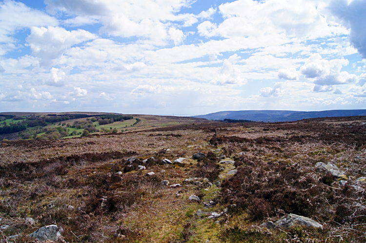
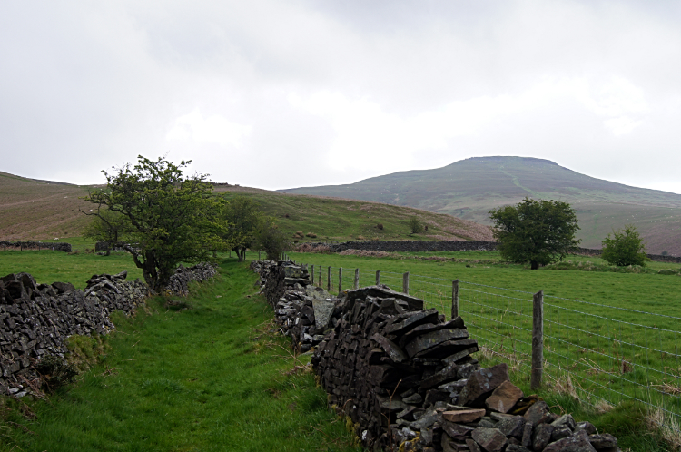
I had reached an unmade path with a fence to my left and dispersed hawthorn trees to my right. The steady climb of the western slopes of the mountain which had started at the bridge in Llangenny continued to a height of 350 metres when I came to some derelict buildings — the roofs were long gone as were the tops of the walls, but the bottom structure of the buildings remained (temporary shelters for walkers on inclement and windswept days). Soon after the site of the old buildings I turned from a west to north course, and as I did so the enclosed views of being at lower heights gave way to sublime panoramas!
My first thoughts were to look back north and west in the direction I had come on my journey of Wales: I looked west to Craig y Cilau where I had been yesterday and to Darren Cilau where I had sat and watched young rock climbers practicing their fledgling skills; I looked to the cliffs of the mountain which I had traversed the top of from west to east before finding the safe path down; and I looked further through the distant haze to the faint profile of Pen y Fan, snow-topped after the storms of two days previously which kept me from crossing the mountain (instead I had to follow a course to the north of the mountains). I mused that next time I return I must climb Pen y Fan! Then my attention returned to the immediate task: the ascent of Sugar Loaf, and as I looked at cloud clearing the peaked top of the mountain I marched onward towards it.
At first I did not make any progress towards the summit at all, as the path took me on a north-west course leading me further away from the summit — this direction took me along for 400 metres, and during the north-west passage I lost 20 metres of height I had earned! But in compensation it kept me on the defined path and led me to a direct course due east which would take me directly to the top of the mountain, and on a wonderful short-grassed wide path which was well maintained by the mountain's resident sheep (they were doing a splendid job in maintaining the path!). I walked steadily up the gentle slope of the mountain and past groups of sheep, each group parting to a distance away from the path which was sufficient for their comfort until I had walked on by. I continued to walk on, eyes focused on the summit, and as I drew closer I could make out a small rock outcrop showing the attainment point. Once there I knew I would be on the summit ridge, having been on the top one before (as stated in the summary to this walk) on my previous walk up the mountain — it was overcast that day and the cloud on top prevented me enjoying the views, so surely I would fare better this time!
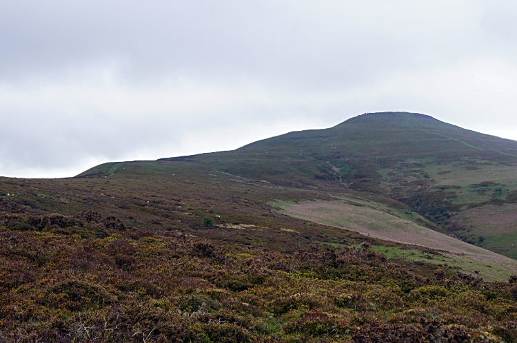
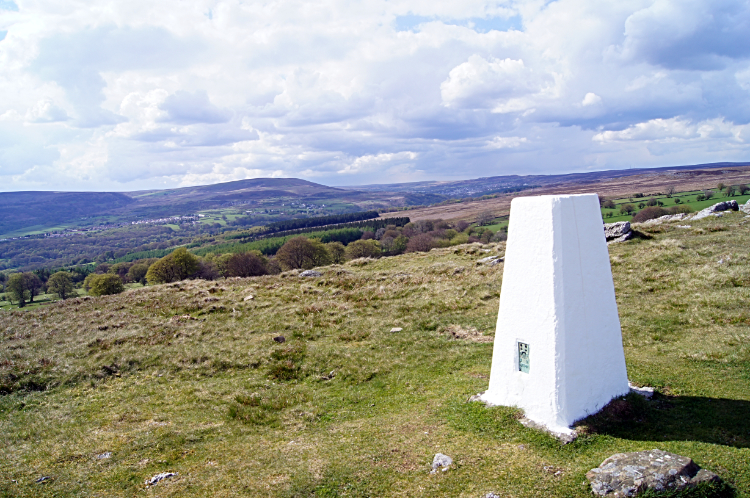
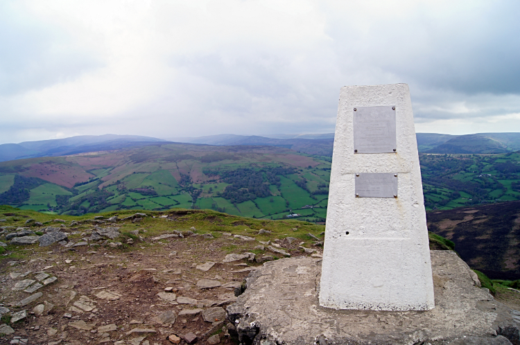
Half an hour after turning from my parallel course to the one straight up the mountain I was on the summit ridge and within view of the trig point. A bank of cloud had appeared in the sky as I made the ridge, but it was high enough to leave the summit unscathed — it just blocked out the sun which had made brief attempts to bathe the mountain during my ascent. Should I wait a while? I did not need to question myself, for I met a gentleman at the trig point who had taken a walk up with his dog from near where I was to finish. We talked for 15 minutes or so about the beauty of South Wales, about the Brecon Beacons, and about my walk of Wales — he talked about how he had moved to work in the area from the Midlands some years ago and in falling in love with the place he decided to stay. It was a proper mountain top conversation, during which the bank of cloud thinned and began to part. We bid each other farewell and the gentleman left first while I took a drink. Blue sky increased and sun began to glint through as I began my descent.
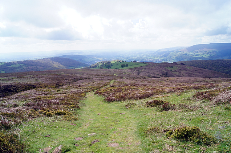
As I followed a clear path on easy ground down the mountain I bounded along without a care in the world, a welcome effect the mountain imposed on me. As I continued down towards Abergavenny I looked towards the steep north-facing slopes of Blorenge (the mountain due south of the town which was the next obstacle on my walking line to Cardiff) — it did not faze me, I was unperturbed and really looked forward to the challenge. For now though I forgot of the climb ahead while I continued my enjoyable descent of Sugar Loaf, the exquisite mountain I was on. As I bounded on down, stopping on occasions to look back momentarily to the path I walked, I passed more sedate walkers — I was in the mood of a big kid, I even skipped for a while!
On the more rapid than normal descent I looked straight on to the path ahead: to Sugar Loaf's south-east finger which is Deri on the left, and to Blorenge once more on the right. Then I looked straight ahead once more to be captivated by the rooftop views of Abergavenny and to the hump of Ysgyryd Fawr (more commonly known as the Skirrid) directly beyond the town. These views continued to dominate my attention until I realised I was nearly down, and after one steep-banked field I was down beside the road near Tyrewen.
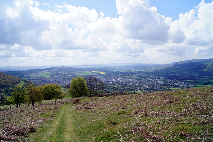
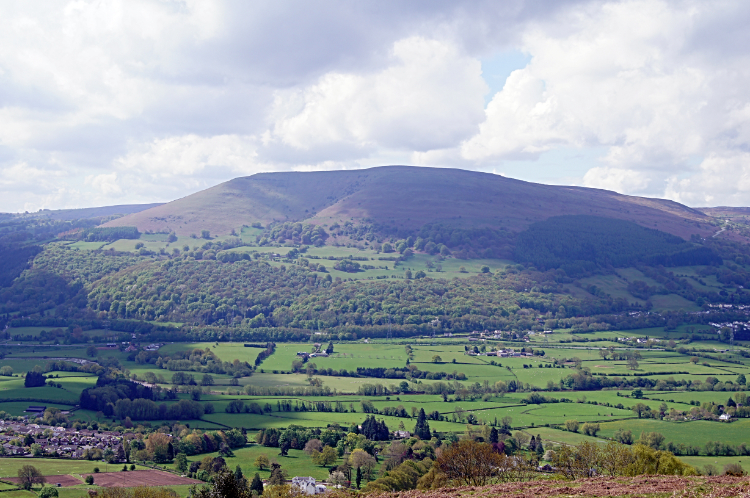
I followed the road (which was part-sunken holloway) to Home Farm and then followed a path which took me past Llwyndu Court to the junction of Pentre Road, Pentre Lane, and Chain Road. Next I walked into the centre of Abergavenny and found the nearest cafe to settle down and enjoy some lunch — it was not quite 11:00 AM, but I would not get another opportunity for a sit-down and some indulgence today! It was a Caffè Nero; I collect the cards, so I enjoyed a free large coffee and a yummy piece of cake. This calorie intake was what I needed for the task ahead of me. On leaving the cafe I tracked out of Abergavenny by crossing the Usk Bridge and taking the pedestrian underpass of the A465 to reach the village of Llanfoist. The picture from the village to Blorenge was pretty; the climb coming up was not.
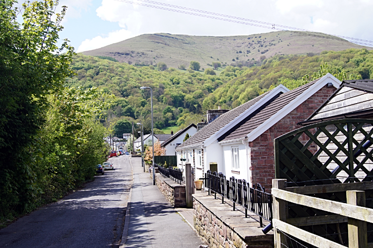
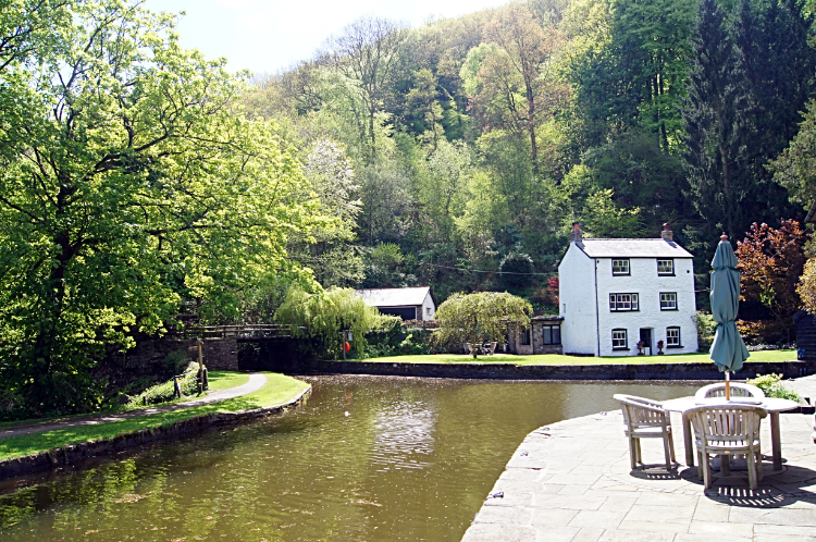
A 500-metre-high wall was right in front of me — in a mile of walking I had to climb it all, a 1-in-3, 33% gradient! “One step at a time,” I said to myself. Off I went: first up through the village and then into the sheath of woodland — lush spring-green woodland this time, delightful! The trees were part of Glebe Wood, and I was climbing beside a pretty stream tumbling down from Blorenge. The entertainment of pretty woodland helped with the effort. Just as I had entered the woods I had also enjoyed another delightful scene, this time when I reconnected with the Monmouthshire & Brecon Canal which I had walked along yesterday from Talybont-on-Usk to Llangynidr — there was the boathouse and the Wharfingers Cottage, a very pretty place with an excellent viewpoint back to Sugar Loaf which I had crossed earlier (Sugar Loaf was cloud-free and bathed in sunshine now).
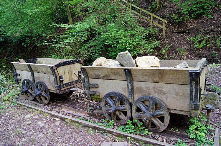
From the canal I continued my steep climb through the wood. Now I was entertained by industrial heritage — unbeknown to me I was now in Llanfoist Wharf, a UNESCO World Heritage Site. In the early 1820s, Thomas Hill (an ironmaster from Blaenavon) diverted his iron to Llanfoist via what is known as Hill's tramroad; the route opened in 1821 with rails 60cm (2ft) apart, and it also served a forge at Garnddyrys, on the west side of the Blorenge. I passed examples of trams and a section of the tramway on my way up the hill.
Huffing and puffing I came out of the woodland and into the light at two-thirds of the way up the climb and with the steepest part still to come. It looked impossible to climb the final 100 metres of ascent in a straight line, and so it proved — I looked jealously at a hiker on top of the mountain and coming down the bank in my direction: he was not coming straight towards me though, he was on a zig-zag course downhill! And concurrently to when he started to descend I started to climb on a zig-zag course up the hill; if I had gone straight up I would have needed to assume the stance of the sheep on the hill and used all fours (feet and hands). As it was I managed in a semi-upright stoop, and in quite a few stop-and-start stages. On one break for a catch of breath I saw the other walker disappear into the woodland — I was not yet halfway, but I did make it up in the end, and when on top of the hill I was rewarded with extra-special views back to Sugar Loaf, Abergavenny, and the Skirrid.
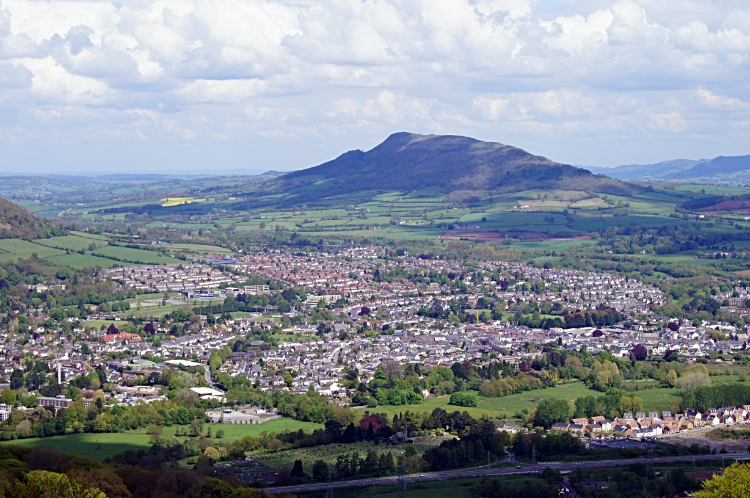
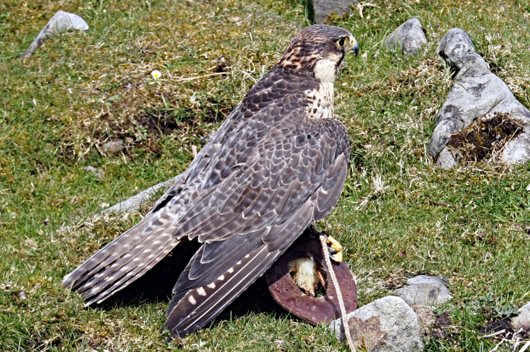
Soon after reaching the top and after the five minutes I stood in awe at the sight to the north, I walked the few metres south to tap the trig pillar on the summit of Blorenge. I was relieved my climbing for the day was done! I still had over six miles to walk though, and aware that I had to cover it in the time it would take my wife Lil to get to our rendezvous point on Little Mountain (she was picking me up and dropping me off on the remaining stages of the walk now as we were staying in Usk with family there, for a reason I shall come to at the end of the walk in Cardiff). I tracked across Blorenge in a south-west direction towards a wireless transmitting station at Cefn y Galchen — as I neared the structures a large bird flew over my head, and then it turned and did it again! I could tell it was a bird of prey and I guessed by its speed and manoeuvrability that it was a peregrine falcon. I was right — at the WT station I met Quack Quack! I also met Roger James who runs Black Mountain Falconry Centre in Abergavenny, and I also met Peter Hughes, Chris Neesham, and her glamorous daughter Annie who were enjoying the show Quack Quack was giving — what a privilege it was!
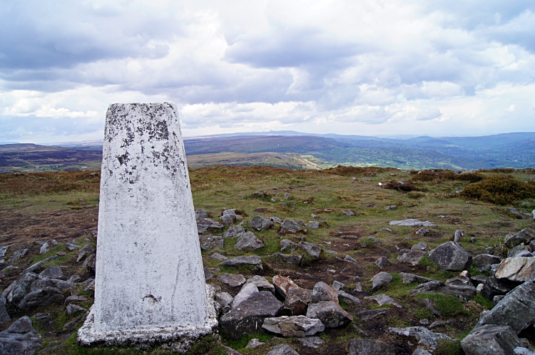
After the entertainment provided by Quack Quack the peregrine falcon, the final three miles of my walk was still enjoyable. The wild open country on the south-east tip of the Brecon Beacons was delightful to walk across, and I could sense the end of my walk across the mountains of Wales coming as I crossed Mynydd y Garn-fawr, Mynydd Garnclochdy, and then Mynydd Garn-wen (each slightly lower than the last, the hills were tumbling away). From the trig pillar on Mynydd Garn-wen I looked across to the conurbation of Pontypool which I would walk past tomorrow, but first though I had a date with Little Mountain! I arrived there before Lil, who I had made contact with an hour earlier and who I guided up the road from Trevethin to meet me. I had to sit for a while by the roadside though, as she was an hour late — not her fault, as there had been an accident on the A4042 from Abergavenny and she was directed by the police around the west side of Blorenge (a 20-mile detour on roads she did not even know!). She did well to recover me at all.
From my evening Facebook post: “Today's walk was simply splendid; the near 20-mile course being a pleasure from start to finish. It was a walk with two distinct halves which will become clear as I write the story... I set off from Crickhowell earlier than usual on this Welsh epic... I was on my way before 8.00am... Soon after passing the impressive lodge house to Pendarren House I came to a crossroads, and fifteen minutes later I had climbed further up the road to a point where the tarmac ended... Then came part 2. The first stage of it was on shapely mountains with banks and falls on all sides... I was high at 559m on the summit of Blorenge and still at 508m one kilometre later at Cefn y Galchen when I stopped to talk to a group of four people who were enjoying an excellent time watching Birds of Prey do their aerobatic exercises... And then all too soon I was on Little Mountain near Trevethin and finishing my excellent days walk. I could have carried on walking.”