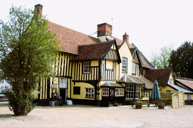
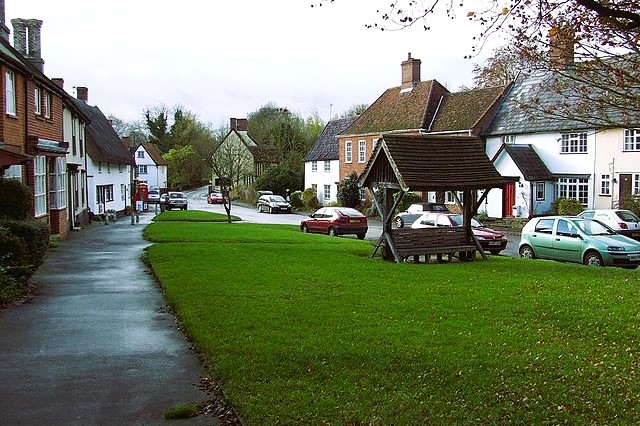
The walk begins in the ancient centre of the village, an elegant, long, thin green surrounded by old houses (some of them thatched). A Saturday market was held here in Saxon times and continued until a Norman lord, William Malet, built a castle at Eye and opened a Saturday market there, whereupon the Hoxne market day was changed to Wednesday.
A lane leads from the northeast corner of the green to the Church of St Peter and St Paul. The fabric is relatively undistinguished for Suffolk, though there were some fading ancient wall paintings and a carved bench-end depicting a wolfhound with King Edmund's head in its jaws, while a screen in the church contains wood from the oak to which Edmund was tied when he was killed (the tree fell in 1848).
The church is full of interesting material about the village, including displays of local history and remnants from local brickworks out along the Eye road. By the north aisle is a display concerning the history of witchcraft in the village.
Francis Hutchinson, vicar here from 1690 to 1708, went against contemporary feelings by being overtly critical of the persecution of alleged witches (there is also a reference to the last witch in the village who lived there as recently as 1949).
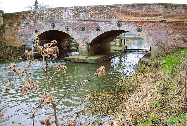
You leave the village along Watermill Lane with views ahead to Thorpe Abbotts Church across the Waveney valley in Norfolk. Moor Bridge crosses the river proper, but the next bridge by the weir marks the county boundary, crossing a channel cut in the 1930s as part of a flood protection scheme.
The walk briefly follows the River Waveney. In this area, you may find shells brought to the surface from deposits (mainly clay and marl) laid down two million years ago by a retreating ice cap in what is now known to geologists as the Hoxnian period, at which time there was a large lake in this area.
For about a mile (1.6 kilometres), the route follows that of the Angles Way, a long-distance footpath running along the Waveney valley from Great Yarmouth to join up with other long-distance paths like the Pedders Way and the Icknield Way (fields of bulbs on the Norfolk side of the valley are a delight in spring).
A little to the north of Hall Farm, with its fine Georgian farmhouse, is the Dovehouse — a small square brick building with a pointed roof. At the farm, the route turns towards the village of Billingford, whose church is topped by an enchanted golden cockerel weathervane.
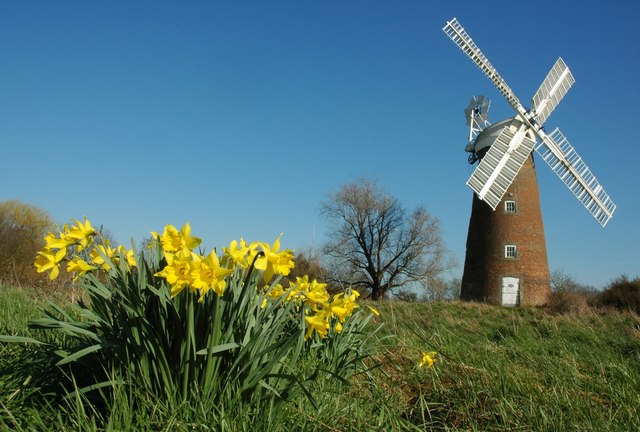
At the crossroads in the village is Billingford Windmill, a tower mill which has a boat-shaped cap (caps like these are seen in east Suffolk, but are much more common in Norfolk). The mill, now in the care of the Norfolk Windmills Trust, was built in 1860 and worked regularly until 1956.
South of the windmill is Billingford Bridge, which takes you back into Suffolk. The walk continues on minor roads to the village of Oakley (which can be visited by a short detour). Sticking to the route map at Oakley House, the route turns off east on cart tracks to cross the River Dove at White Bridge. As you climb the hill beyond to Park House, you can see a magnificent stable block with a domed clock tower and blind windows on either side of its arches.
The route passes what was once Hoxne Brickyard, now a builders' yard where the old brick kiln — a large hemispherical brick structure strengthened with heavy steel bands — still stands (moulded clay bricks were carefully stacked inside, a fire was lit, and the bricks baked slowly for several days).
Beyond Cross Street, one of Hoxne parish's three hamlets, the return route passes through open fields with wide views. In the middle of a field away to your left is a stone cross on a brick plinth marking the spot where St Edmund was martyred.