County Tops of England: West Riding of Yorkshire
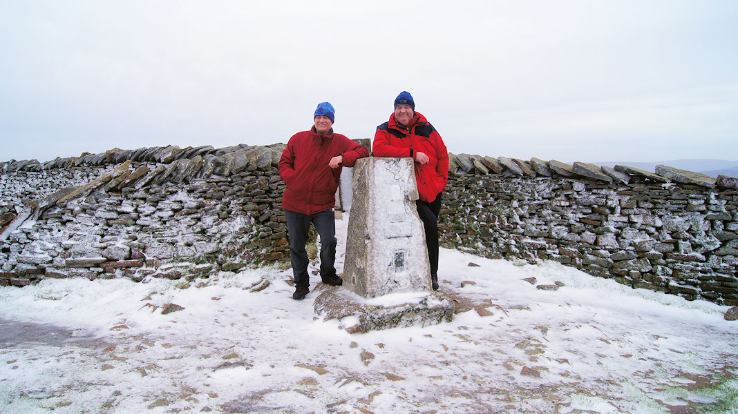
Whernside: 736 metres (Grid Ref: SD738814)
Google Maps Open Source Maps| Route Statistics and Files | ||
|---|---|---|
| Start: Ribblehead Viaduct (A166) | Grid Ref: SD764791 | Distance: 7.9 miles (12.6km) |
| Climbing: 500 metres | Time: 3-4 hours | Rating: Hard |
| GPX Route File | Google Earth File | Map: OL2 Yorkshire Dales – Southern and Western Area |
| Statistics | |
|---|---|
| Start: Ribblehead Viaduct (A166) | Grid Ref: SD764791 |
| Distance: 7.9 miles (12.6km) | Time: 3-4 hours |
| Climbing: 500 metres | Rating: Hard |
| GPX Route File | Google Earth File |
| Map: OL2 Yorkshire Dales – Southern and Western Area |
The Walk: This walk follows the most popular circular route to Whernside, the highest mountain in the Yorkshire Dales National Park and the highest point in West Yorkshire. From the starting point at Ribblehead Viaduct follow the path taken by Yorkshire Three Peaks walkers from the viaduct to the summit of Whernside. This is achieved by walking north to Bleamoor Sidings and then continuing up the west flank of Whernside via Slack Hill, Grain Head and Knoutberry Hill. It is an arduous climb made by thousands every year. From Knoutberry Hill walk south along the ridge top to the summit of West Yorkshire and while doing so take the time to look south across the valley to Ingleborough, the impressive neighbouring mountain. After summiting Whernside continue south along the ridge to meet the path heading down to Bruntscar. From here follow paths back to Ribblehead Viaduct via Ivescar and Gunnerfleet Farm.
The Walk I Would Do: This one which I have done much of many times, sometimes as part of the Three Peaks walk and sometimes as a walk in its own right.
Information: Whernside is a mountain in the Yorkshire Dales and is one of the Yorkshire Three Peaks, the other two being Ingleborough and Pen-y-ghent. It is the highest point in the ceremonial county of North Yorkshire [note 1] and the historic West Riding of Yorkshire with the summit lying on the county border with Cumbria. In shape Whernside forms a long ridge, running roughly north–south. (Source: Wikipedia)


