County Tops of England
The historic county tops of England are a diverse bunch. They range in height from just 80 metres at Boring Field, Huntingdonshire to 978 metres on Scafell Pike in Cumberland. Some such as Bushey Heath in Middlesex are in urban surroundings which can be reached within yards of a road while others are remotely situated and require long walks to reach them. Some are on flat ground with a summit hard to establish and some are pretty obvious, And while some of the remote county tops require a good walk without much climbing there are the higher county tops in regions such as the Pennines and Lake District which will challenge a good deal of effort to reach them. So here they are, in all their diversity. Walking to all the English country tops will be achievement and if you complete them all I guess there will be quite a few good stories to tell about the adventure. Such as visiting the one on a busy town crossroads in Middlesex and getting to the one on private land in Kent.
Note: My County Tops of England and Wales are derived from the list of historic counties of England and Wales which survived for more than 100 years until widespread changes to counties and county boundaries made by government in the 1970's. The total number is 54 counties of which 41 are in England (by recognising the Yorkshire Ridings as seperate entities) and 13 in Wales.
County Tops of England Interactive Map
| County | Highest Point | Height (m) |
|---|---|---|
| Bedfordshire | Dunstable Downs | 243 |
| Berkshire | Walbury Hill | 297 |
| Buckinghamshire | Haddington Hill | 267 |
| Cambridgeshire | Great Chishill | 146 |
| Cheshire | Shining Tor | 559 |
| Cornwall | Brown Willy | 420 |
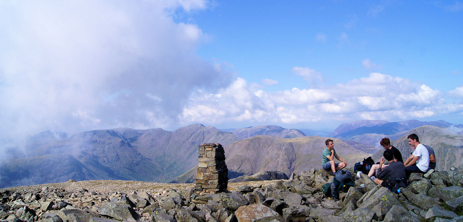
| Cumberland | Scafell Pike | 978 |
| Derbyshire | Kinder Scout | 636 |
| Devon | High Willhays | 621 |
| Dorset | Lewesdon Hill | 279 |
| Durham | Burnhope Seat | 746 |
| Essex | Chrishall Common | 147 |
| Gloucestershire | Cleeve Hill | 330 |
| Hampshire | Pilot Hill | 286 |
| Herefordshire | Black Mountains | 703 |
| Hertfordshire | Pavis Wood | 244 |
| Huntingdonshire | Boring Field | 80 |
| Kent | Betsom's Hill | 251 |
| Lancashire | Coniston Old Man | 803 |
| Leicestershire | Bardon Hill | 278 |
| Lincolnshire | Normanby Top | 168 |
| Middlesex | Bushey Heath | 155 |
| Norfolk | Beacon Hill | 105 |
| Northamptonshire | Arbury Hill | 225 |
| Northumberland | The Cheviot | 815 |
| Nottinghamshire | Newtonwood Lane | 204 |
| Oxfordshire | Bald Hill | 257 |
| Rutland | Cold Overton Field | 197 |
| Shropshire | Brown Clee Hill | 540 |
| Somerset | Dunkery Beacon | 519 |
| Staffordshire | Cheeks Point | 520 |
| Suffolk | Great Wood | 128 |
| Surrey | Leith Hill | 294 |
| Sussex | Blackdown | 280 |
| Warwickshire | Ebrington Hill | 261 |
| Westmorland | Helvellyn | 950 |
| Wiltshire | Milk Hill | 295 |
| Worcestershire | Worcestershire Beacon | 425 |
| Yorkshire East Riding | Bishop Wilton Wold | 246 |
| Yorkshire North Riding | Mickle Fell | 788 |
| Yorkshire West Riding | Whernside | 736 |
Feedback and Suggestions:
I am always pleased to received feedback on the structure and content of the website. I also welcome suggestions on how I can improve the website which may include new areas to cover, new walks or route alterations to existing walks. To get in touch with feedback and/ or suggestions please contact me on one of my social media links. Thank you.
(Note: Walking without proper preparation can be dangerous. Information and downloads on this website are provided free of charge; it is each walker's responsibility to check the material and use accordingly. Postscript: My walk reports are not route guides and should not be treated as such. They are written with personal reflections of my walks)


