County Tops of England: Northumberland
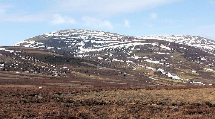
The Cheviot: 815 metres (Grid Ref: NT909205)
Google Maps Open Source Maps| Route Statistics and Files | ||
|---|---|---|
| Start: Langleeford | Grid Ref: NT951222 | Distance: 7.7 miles (12.4 km) |
| Climbing: 629 metres | Time: 4 hours | Rating: Hard |
| GPX Route File | Google Earth File | Map: OL16 Cheviot Hills |
| Statistics | |
|---|---|
| Start: Langleeford | Grid Ref: NT951222 |
| Distance: 7.7 miles (12.4 km) | Time: 4 hours |
| Climbing: 629 metres | Rating: Hard |
| GPX Route File | Google Earth File |
| Map: OL16 Cheviot Hills |
The Walk: The route from Langleeford begins from near the end of the access road by walking northwards through a plantation which leads to a path leading westwards up to Scald Hill. From here continue south-west climbing steadily in high country to The Cheviot, the high point making for the perfect county top of Northumberland. After summiting continue south-west on the Pennine Way spur to Cairn Hill from where the Pennine Way is left to follow a path due south down to the source of Harthope Burn. Follow the burn downstream on a south-east and turning north-east on a course back to Langleeford. At Langleeford Hope the valley path gives way to a substantial access road making the final mile and a half a straightforward walk back to the start.
The Walk I Would Do: I would do this walk and when I finally get around to climbing the Cheviot this will be the route I take.
Information: The Cheviot is the highest summit in the Cheviot Hills in the far north of England, only 2 km from the Scottish border. It is the last major peak on the Pennine Way, if travelling from south to north, before the descent into Kirk Yetholm. Other than the route via the Pennine Way, most routes up The Cheviot start from the Harthope Burn side to the northeast, which provides the nearest access by road. The summit is around 5 km from the road-end at Langleeford. There are routes following the ridges above either side of the valley, and a route that sticks to the valley floor until it climbs to the summit of The Cheviot from the head of the valley. (Source: Wikipedia)


