County Tops of England: Hertfordshire
Pavis Wood: 244 metres (Grid Ref: SP914091)
Google Maps Open Source Maps| Route Statistics and Files | ||
|---|---|---|
| Start: Wendover Woods Car Park | Grid Ref: SP888089 | Distance: 1.9 miles (3.0 km) |
| Climbing: 15 metres | Time: 1 hour | Rating: Easy |
| GPX Route File | Google Earth File | Map: 181 Chiltern Hills North, Aylesbury, Berkhamstead and Chesham |
| Statistics | |
|---|---|
| Start: Wendover Woods Car Park | Grid Ref: SP888089 |
| Distance: 1.9 miles (3.0 km) | Time: 1 hour |
| Climbing: 15 metres | Rating: Easy |
| GPX Route File | Google Earth File |
| Map: 181 Chiltern Hills North, Aylesbury, Berkhamstead and Chesham |
The Walk: A pleasant linear walk through the woods from one county top to another. Start from the car park in Wendover Woods and while near the car park look for the pillar which signifies the highest point in the county of Buckinghamshire. Then follow a path south-east from the woods which eventually meets a road. Here your path meets the Ridgeway National Trail which you follow north on the road for a few metres before heading east across a field to another road which is crossed to reach Northill Wood/ Pavis Wood. Walk northeast through the wood to meet yet another road at Hastoe. You have now attained the highest point in Hertfordshire. (Note: unless you have arranged for transport you will have to walk back to the county top of Buckinghamshire!)
The Walk I Would Do: I would create a circular walk by doing as described to attain the county tops but to make the circular I would continue from Hertfordshire's high point to Hastoe Farm and then head south to meet Grim's Ditch. I would follow Grim's Ditch west to Coppice Farm then use the permissive paths available back to the south end of Wendover Woods. I would then locate a disused reservoir and a fort in the woods before walking back to the starting point. (Map and route file for my walk available on request)
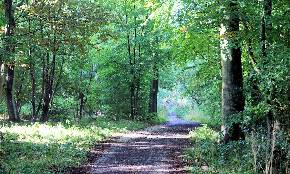
Information: Pavis Wood is an area of woodland on a hill located near Hastoe in Tring, north-western Hertfordshire, England. A point on its eastern slopes is the highest point in the county of Hertfordshire. The area is often considered as ancient woodland containing a wide variety of plants such as the yellow pimpernel and wood mellick. A bridleway crosses the woodland which can be accessed throughout the year as well as the Ridgeway National Trail which is dominated mainly by beech, oak and ash. The summit plateau lies less than three miles from the border of Buckinghamshire and part of the Aylesbury Vale which contains the Buckinghamshire county top Haddington Hill 267 m (876 ft). It is linked to Haddington Hill by a high ridge which gives this hill a mere 5 metres of relative height. The summit area is unmarked and is difficult to determine.(Source: Wikipedia)


