Loch Trool Trail
A spectacular woodland walk at the feet of the Galloway Hills
Google Maps Open Source Maps| Statistics and Files | ||
|---|---|---|
| Start: Car Park | Distance: 6.3 miles (10.1 km) | Climbing: 250 metres |
| Grid Ref: NX 39690 79042 | Time: 3 hours | Rating: Moderate |
| GPX Route File | Google Earth File | About Loch Trool |
| Statistics | |
|---|---|
| Start: Car Park | Distance: 6.3 miles (10.1 km) |
| Climbing: 250 metres | Grid Ref: NX 39690 79042 |
| Time: 3 hours | Rating: Moderate |
| GPX Route File | Google Earth File |
Ordnance Survey Explorer Map (1:25,000)
The Walk: Set in the heart of the Galloway Forest Park, this walk offers fine vistas of the waters of Loch Trool and the steep heights encircling Glen Trool, The view over the loch from Bruce's Stone, at the highest point of the walk, is certainly one of Scotland's scenic jewels.
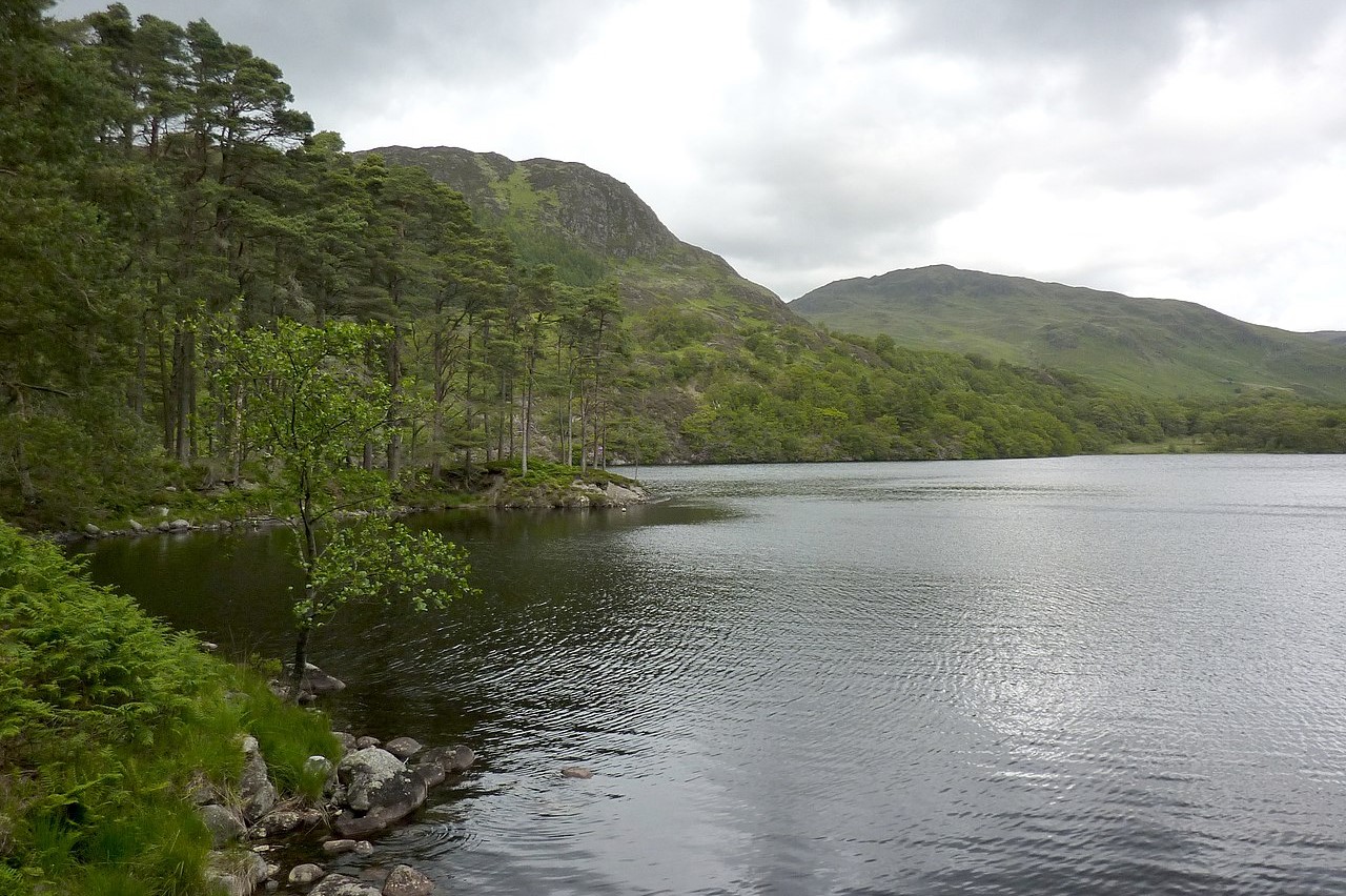 Loch Trool
 Bruce's Stone
The Martyr's Tomb, near the start of the walk, is a headstone within stone walls bearing the inscription "Here lie James and Robert Duns, Thomas and John Stevenson, James McClive and Andrew McCall who were surprised at prayer". The people described were Presbyterians or Covenanters (who took their name from the National Covenant signed in Edinburgh in 1638 and whose numbers were strongest in south-west Scotland) and they were persecuted by Charles I and his Catholic followers. Also carved on the headstone are the names of the soldiers who killed them.
The walk passes through a campsite spread out in a most attractive park of oaks, then climbs up through a larch plantation and a wood of old Scots pines which were planted in the 18th century. The route loops around the high point called Torr, leaving the old bridle path in favour of one nearer the lochside. Further on is an area at the base of an escarpment called the Steps of Trool. It was here, in 1307, that an English army was ambushed by King Robert the Bruce. The Scots, up on the slopes of Mulldonach, sent an avalanche of boulders down on them. Their success aided the campaign for independence for Scotland, which was finally won at Bannockburn in 1314.
Today the path picks its way through a landscape of big boulders. These are not the ones thrown by the ancient Scots; they were flung there by a lightning strike on a head of rock above. From here there is a clear view of over the loch to the summit of Merrick, the highest hill in the Scottish Southern Uplands. Leaving the waterside, the walk turns north and steeply up to the high escarpment along the north flank of the loch. On the way it passes through the ancient oak woods of Glenhead and Buchan. These woods are Sites of special Scientific Interest and have been undisturbed since 1900, when they were coppiced to supply tan bark and wood for charcoal.
The Buchan Waterfall flows down through three suspended pools, in a deep rock ravine softened by a thick coat of brilliant green mosses. The setting is very pretty and only a few moments walk off the path climbing to Bruce's Stone, which looks across Loch Trool from a great height to the site of the Battle of Glen Trool. Near the stone is the start of a tough four mile path to the summit of the Merrick. From the stone, and also from a rock bluff further along the trail, the splendour of the Galloway Hills can be seen. Finally, near to the end of the walk at Kenmure Moss, there is a fine and varied plantation of trees to enjoy which complement the end of this lovely walk.
Acknowledgments: Text derived from the Out and Out Series; Discovering the Countryside on Foot. Pictures courtesy of Wikipedia.
Feedback and Suggestions: To suggest a link for inclusion on a this page please complete the Walking Englishman Feedback Form. Thank you.


