Aberfoyle, Forest, Quarries and Waterfalls
A forest walk to old slate quarries and lovely waterfalls
Google Maps Open Source Maps| Statistics and Files | ||
|---|---|---|
| Start: Aberfoyle | Distance: 5.6 miles (9.0 km) | Climbing: 340 metres |
| Grid Ref: NN 52168 00945 | Time: 3 hours | Rating: Moderate |
| GPX Route File | Google Earth File | About Aberfoyle |
| Statistics | |
|---|---|
| Start: Aberfoyle | Distance: 5.6 miles (9.0 km) |
| Climbing: 340 metres | Grid Ref: NN 52168 00945 |
| Time: 3 hours | Rating: Moderate |
| GPX Route File | Google Earth File |
Ordnance Survey Explorer Map (1:25,000)
The Walk: The village of Aberfoyle is situated on the line of the Highland Boundary Fault, which separates Highland Scotland from the Lowlands. This is an excellent base from which to explore the delights of the Trossachs. An area of knobby mountains, lochs and forested slopes, it was made famous by Sir Walter Scott, whose well known novel, Rob Roy, and epic poem The Lady of the Lake were set here. The former Baillie Nicol Jarvie Hotel, now a residential home, had close associations with the real Rob Roy MacGregor, a Scottish freebooter.
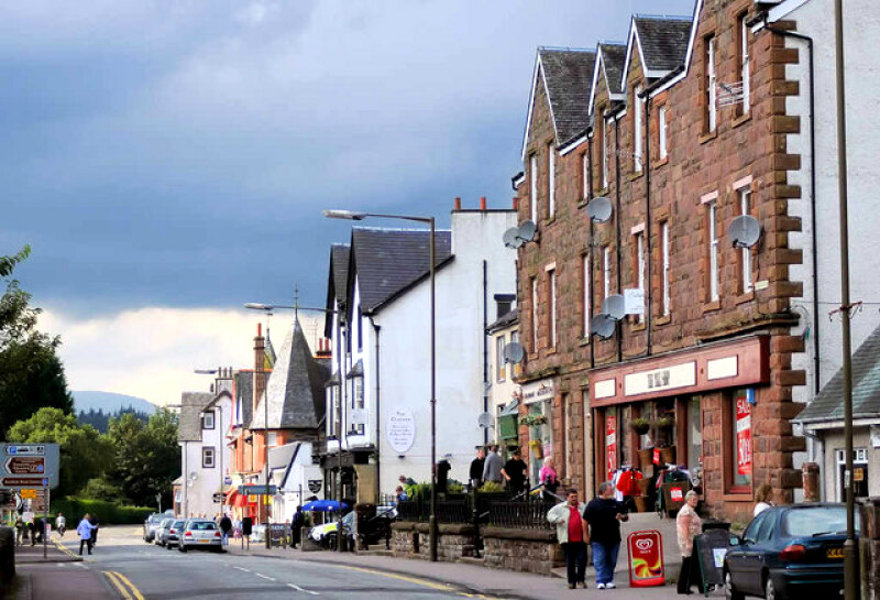 The main street in Aberfoyle
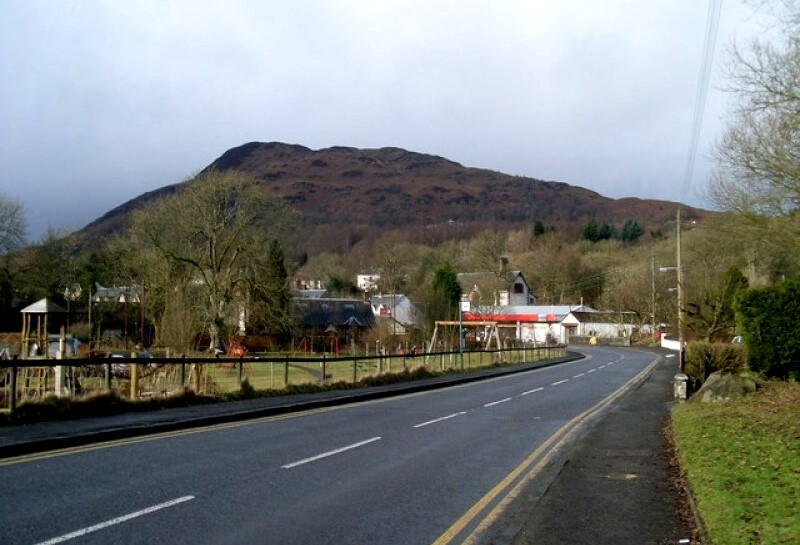 View to Craigmore from Aberfoyle
To the immediate north of Aberfoyle lies the huge Queen Elizabeth Forest Park where the Forestry Commission has largely succeeded in combining commercial forestry with recreation. Indeed, one of the Go Ape outdoor adventure enterprises is located in the park near the start of the walk and on your way you may see adventurous youngsters and maybe the young at heart flying overhead on one of the zip wires spreading out into the park from the activity centre.
At the south side of the park, is the Lodge Forest Visitor Centre. Formerly known as the David Marshall Lodge, it was built by the Carnegie Trust, of which David Marshall was chairman, as a viewpoint and picnic area.
Beyond the low lying lands that surround the young River Forth, the Campsie Fells and Kilpatrick Hills are visible in the distance. To the north west of the lodge, on the outward leg of the walk, the hills of Craigmore and Creag a' Mhadaidh are broken up by large quarries. These old slate quarries were once the third largest of their type in Scotland and provided considerable employment in Aberfoyle. A tramway was built to link them to the railway in the village. As well as slate mining, Aberfoyle once had a thriving iron smelting industry, and the station yard must have been a noisy, bustling place.
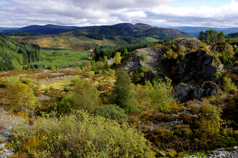 One of the disused quarries
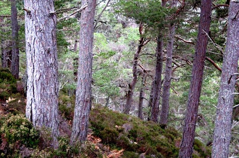 The forest north of Aberfoyle
A little further around the route, the walk takes you over Duke's Pass, which was named after the Duke of Montrose, the 17th century Royalist Scottish general, who once swore to protect the Presbyterian church from attempted Anglican reforms. The pass was once the scene of intense combat. In 1651, General Monk, Oliver Cromwell's commander in Scotland, tried to subdue the rebel forces there. Trouble flared up again two years later, when the Earl of Glencairn and Graham of Duchray ambushed Monk's men, this time routing the Cromwellian force.
On the final section of the walk, there is a beautiful babbling burn, and some fine waterfalls, particularly where the burn runs into Allt a' Mhangam, which means the stream of the little fawn. Finally, the route leads you back through the woods to the lodge visitor centre from where you retrace your steps back to the start in Aberfoyle.
Acknowledgments: Text derived from the Out and Out Series; Discovering the Countryside on Foot. Pictures courtesy of Wikipedia.
Feedback and Suggestions: To suggest a link for inclusion on a this page please complete the Walking Englishman Feedback Form. Thank you.


