Tomintoul, Queen's Cairn and Strath Avon
A salmon river, and the neatly planned 18th century village
Google Maps Open Source Maps| Statistics and Files | ||
|---|---|---|
| Start: Tomintoul | Distance: 5.6 miles (9.0 km) | Climbing: 200 metres |
| Grid Ref: NJ 16506 19286 | Time: 3 hours | Rating: Moderate |
| GPX Route File | Google Earth File | About Tomintoul |
| Statistics | |
|---|---|
| Start: Tomintoul | Distance: 5.6 miles (9.0 km) |
| Climbing: 200 metres | Grid Ref: NJ 16506 19286 |
| Time: 3 hours | Rating: Moderate |
| GPX Route File | Google Earth File |
Ordnance Survey Explorer Map (1:25,000)
The Walk: The village of Tomintoul sits 1,150 feet (345 metres) above sea level, making it the highest village in the Scottish Highlands. It owes its existence to the 4th Duke of Gordon. After the military road from Braemar to Granton on Spey was built in the 1750's, the duke decided to build a village to promote the land's development. As befits a military engineer, he laid it out in a rigid grid pattern. Today, the village is a popular tourist attraction.
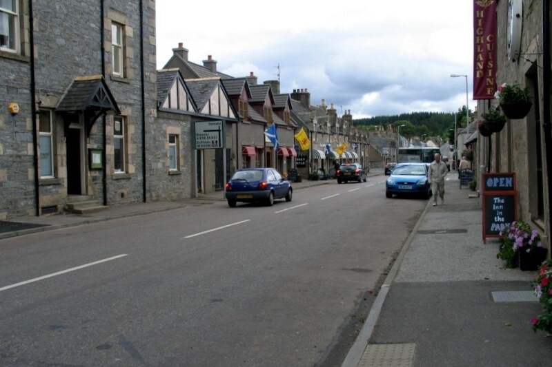 Main Street, Tomintoul
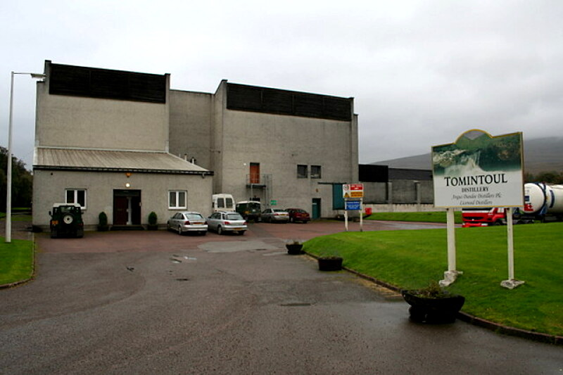 Tomintoul Distillery
From the village, you skirt the base of Tom na Bat (Tom means 'hillock' in Gaelic) to reach the valley of the River Avon, one of the most majestic rivers of the Highlands. Upstream from Tomintoul, it runs through Glen Avon, a magnificent 20 mile corridor, cut deep into the heart of the Cairngorms National Park.
The river begins its course in the wild upper glen, where Loch Avon lies entrenched between Cairn Gorm and Ben Macdui, then passes between the spectacular ridges and corries of Ben Avon to the turbulent Linn of Avon.
The river is somewhat calmer by the time it approaches Tomintoul and its sweep is best appreciated from the Queen's View, a spot where Queen Victoria once stopped to admire the tremendous panoramic picture afforded from this very spot. From here, the silvery waters of the river lead the eye past the lush pastures of the lower glen to the long summit ridge of Ben Avon on the skyline.
 Countryside near Tomintoul
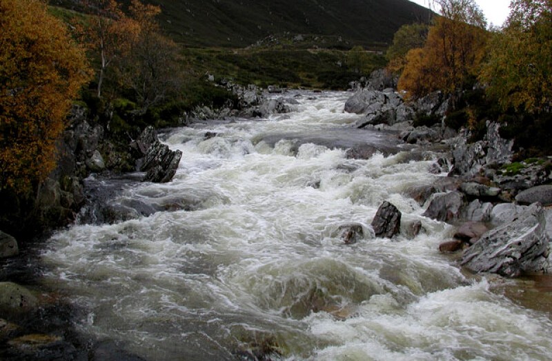 Strath Avon
You walk through a field that, until World War II, was Tomintoul's golf course and continues along the lovely wooded slopes of the valley side. By Delavorar Farm, you cross a wooden bridge near a fine spot for a picnic. Looking down from the bridge, you can appreciate the purity and clarity of the Avon, resulting from the lack of peat in its catchment area and the filtering effect of Loch Avon. The clear water, which runs over pink and grey gravel where salmon spawn, is an important ingredient of local whiskies.
The water is sometimes so clear that the river appears deceptively shallow - people have drowned in it in the past. An old legend tells how Fingal's wife drowned here, and the Avon is said to be named after her, the Ath Fhionn or Fair One.
You cross the wooden bridge, and the return route leads along the opposite side of the valley. You climb through birch and alder woods before descending to the Water of Allnack, which cuts a deep ravine back into the moors. The v-shaped valley is more reminiscent of Colorado than Scotland.
On the other bank of the Water of Allnack is the 19th century Delnabo House, whose design incorporates picturesque turrets. From here, you retrace your steps back towards Tomintoul, then enter the village along Tomnabat Lane, which marks the course of the old military road that was the genesis of the village.
Acknowledgments: Text derived from the Out and Out Series; Discovering the Countryside on Foot. Pictures courtesy of Wikipedia.
Feedback and Suggestions: To suggest a link for inclusion on a this page please complete the Walking Englishman Feedback Form. Thank you.


