Follow the Pennine Way from Malham Tarn to Fountains Fell before returning across open uplands via Out Fell and finish by a country road walk back to the starting point.
The first walk of 2019, on New Year's Day, was on new trails for me. I had been up Fountains Fell before, just once, from Silverdale on the north side of the fell. Then it had been a quick up and down to see what was there and I found lots of bogs and peat hags which the fell is noted for. This time I chose to climb Fountains Fell from the south by following the Pennine Way from Malham Tarn and then returning via seldom-explored Out Fell and by finally following the quiet moor road east back to the start. In all, around 12 miles of pleasure to welcome in the year 2019.
Walk Report & Journal
The first walk of the new year is always exciting. I cannot recall the last time I had not been out and about walking in the countryside; it has become an essential event for me. In recent years I have put out the call for people to join me if they wish to and this time 1/1/2019 set a record. We set off as nine and soon would be ten. It was a great day before a step had been taken! First, on travelling from Gargrave to Malham I was stopped in the road by the biggest congregation of birds transiting from field to field in search of food. They blacked the brightening sky as they crossed over, filling the view from my windscreen with flapping wings — all gulls. It was a magical sight to start my wildlife sights of the year. Then at Malham Tarn I parked up and met the walkers who were joining me. Good old Tim, he is always there. He has been for the last few New Year's Day walks and more besides. And there were Adam and Thomas from Menston and Keighley, previous New Year's Day walking pals. Eugene and Adam were new, father and son from up Bolton way. And Dave from Blackpool who had quite a story to tell — more on that later. Mark the adventurer from West Yorkshire and Steve the retired walker from the Bradford area made up the immediate team. I would get time to chat to all on the way around.
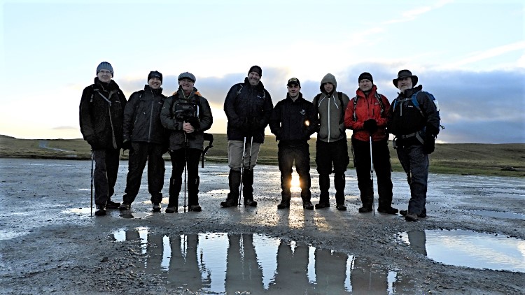
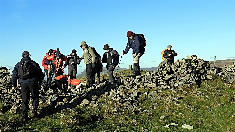
Eugene, Adam, Dave, Tim, Adam, Thomas, Mark and SteveMaking new friends at Lings Plantation
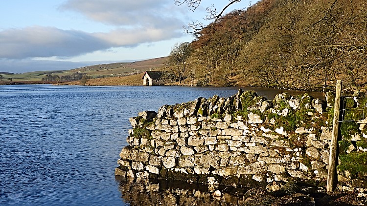
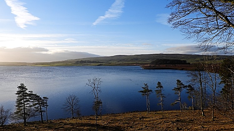
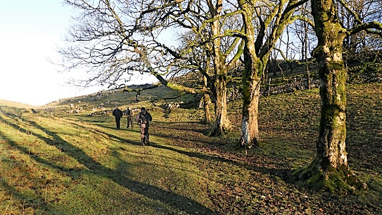
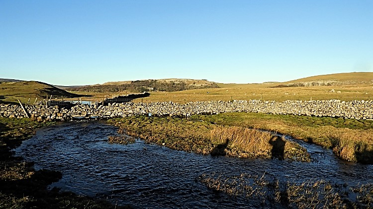
It was a good start to the year. The morning was calm and the milky winter sun was beginning to shine from its ever-low January orbit, casting long shadows for everything in its gaze. While it did not warm me in temperature it did warm me in mind. Winter sunshine creates shadowy shapes of interest which force attention. Our shadows cast before us were taller than us and tree trunk shadows extended to giant proportions. And while the sun was low it did not fail to light up the land. In fact it felt more highlighted by the giant torch sun shining on it. Malham Tarn looked stunning in the highlight of light, much more so than when blaring summer sun hazes it. Everything about the water was crisp and clear. The local and distant drystone walls cast in light were dazzlingly bright too. There is much more to notice in focused winter light.
Malham TarnView across the water
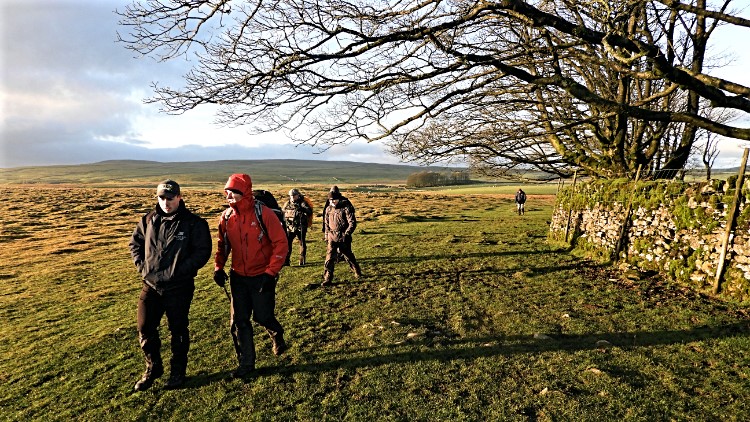
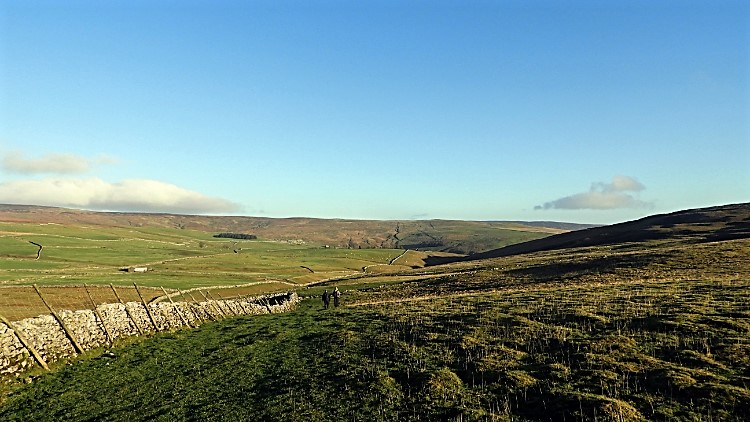
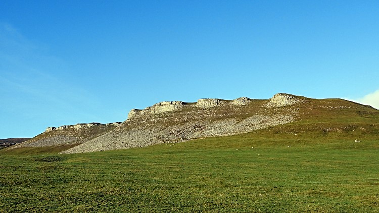
We followed the Pennine Way path around the east and north side of Malham Tarn while observing and talking, getting to know each other. Acquaintances were being made and stories were being told as we left the environs of Malham Tarn and began the undulating country walk to Great Hill, precursor to Fountains Fell. We passed a line of mature trees with much taller shadow trunks. Then we left the region of trees and crossed open land, first hemmed in by field-boundary drystone walls to reach the Malham to Arncliffe road. No traffic lights required; this road is remote and almost exclusively used by the locals. There was not a car to be seen on this New Year's Day — not in the 15 or so minutes of our approach and our crossing. At the roadside the exposed limestone cliff of Great Hill Scar shone brightly, a small patch of white in the vast green canvas surrounding it. From the road we left the scar behind and passed close to Tennant Gill Farm to access the nursery slopes of Fountains Fell. The climb was upon us.
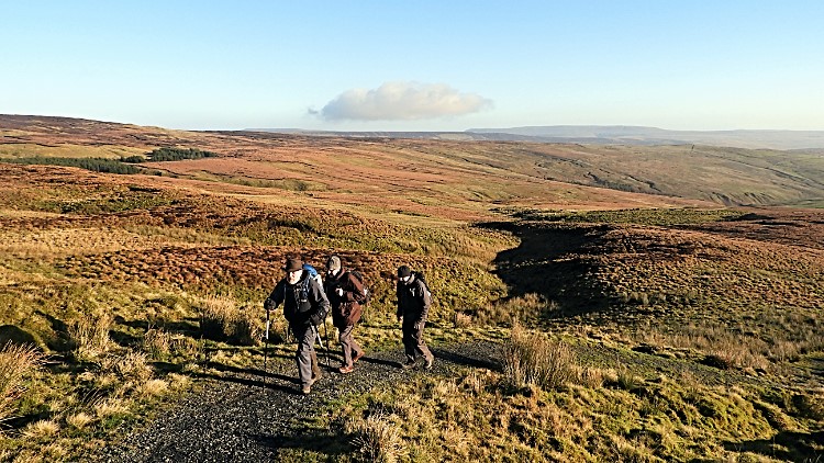
On the Pennine Way from Malham TarnGreat Hill, Pennine Way
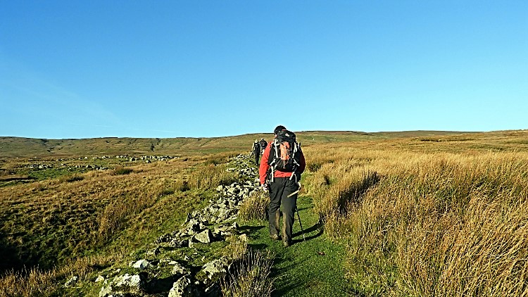
The climbing was steady — a nice ascent had begun, not too taxing. In the next three miles of walking we would gain around 300 metres to the high point of Fountains Fell at 668 metres. Being on the Pennine Way the path was also good and well maintained throughout so bog-hopping was not an issue (that would come later on!). While on the climb, which we took at a steady pace, small walking and talking groups formed. After a while they changed so most of the group got to know each other. And soon nine of us became a team of ten, plus two dogs. I saw the dogs first, running up the fell behind with their master behind. Then as they drew closer I recognised Adrian. We had walked before and though a little late on his commute from York he had decided to join us. It was nice to see him, and to make my acquaintance with the lovely Labrador Ruby, also known as the Walking Dog. Ruby brought a new friend along too — Ella the Apprentice Spaniel.
Great Hill ScarBeginning the climb to Fountains Fell
We all continued to converse as we continued the climb. Most of the group had not met any other before today. I was the catalyst for the encounter and I only knew four of the other nine before today so I made the effort to chat to the other five. Dave's story of how he was planning to do the Great Outdoors Challenge later in the year grasped my attention. Knowing it is a tough undertaking which many participants drop out of during the effort, even seasoned walkers, I wished him well. He reassured me he would prepare well and go all out to complete it. Then there was Mark and his passion for solo walking which takes him far and wide, sometimes at conflict with family commitments. He, like I, loves to walk solo and explore. I well know it is intoxicating and a habit requiring a certain kind of walk/life balance. Steve, after an army life, was enjoying retirement and loving being outdoors as much as possible, as were father Eugene and son Adam. They both shared a love for our countryside and that shared passion bonded them closer as they walked together. It was a lovely day out in great company and I felt invigorated long before we reached the top of Fountains Fell.
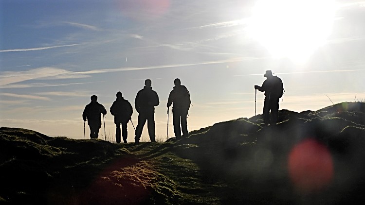
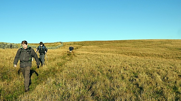
Silhouettes on the fellPleasurable walking across wide open spaces
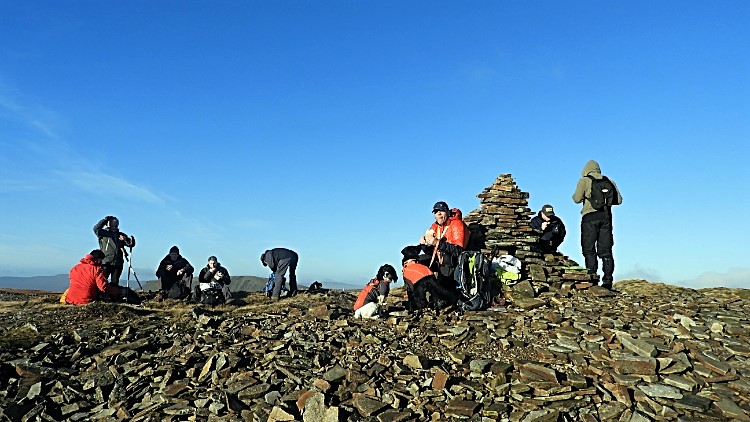
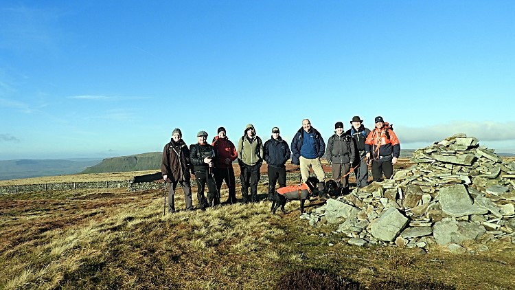
While walking and talking I still had plenty of time for observing and for admiring. The path itself, following the Pennine Way up to the cap of Fountains Fell, was interesting in itself. From Great Hill Scar first it twisted and turned, navigating around the west and north side of Little Fell. Here the path passes small limestone scars, generally the size of adult people. Sheltered the path was, just enough to keep the breeze off if there had been any. Generally it was flat calm and sunny. We could not have wished for a better New Year's Day. After Little Fell was left behind the path beelined to the top of the fell, in a straight north and west direction, on a line about 30 degrees off true north. The land was open all around now, presenting wonderful widespread views of the rust and brown landscape — gorgeous is the word. Walking, talking, viewing, admiring took us to the top point of our walk without the effort being really noticed. Not for me anyway! Once at the summit cairn on Fountains Fell we stopped for lunch — the first lunch of the new year. Christmas cake, home-baked buns, leftover turkey sandwiches — each was on someone's dinner menu! And hot drinks, most welcome as the chill set in soon after we had stopped working.
Lunchtime at the summit of Fountains FellFirst group photograph 2019
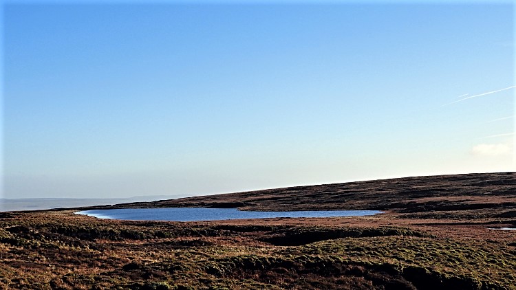
After lunch we left the route of the Pennine Way and tracked south-west across to the site of some disused coal pits. I could not find evidence of the industry, just a collapsed building near a cairn. From the cairn we turned left and tracked south-east using a drystone wall as route verifier. Now I was on the Fountains Fell ground I remembered from the first visit: boggy, squelchy and dominated by peat hags. Knowing Fountains Fell Tarn would come into view on my left I looked for it and did not have to wait long. It was holding plenty of water, sitting central on the table-top plateau of Fountains Fell which extends across a 500-metre square. It was a luminescent golden brown in the glare of winter sun.
Fountains Fell TarnHigh plateau of Fountains Fell
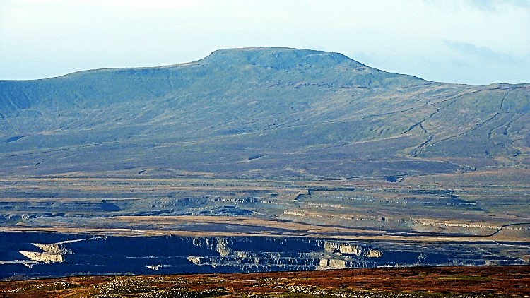
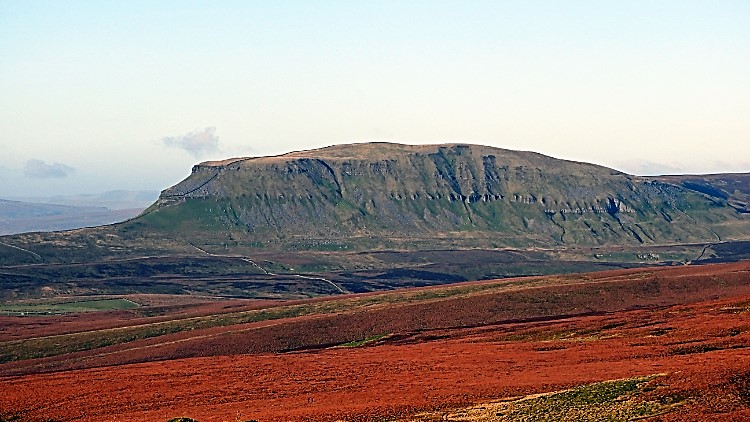
We continued on the south-east course and turned to due south once we walked off the table top. To our right came two magnificent views. First, one of Ingleborough, shimmering in full sunlight and distant, eight miles west of us. The artificial chasm of Horton Quarry stood directly between us and the mountain. Second, the stunning south-east profile of Pen-y-ghent dominated that line of sight. At just two miles away and in full aspect, seen across the Silverdale gap, the mountain was much clearer, less inhibited by airspace between us. The line of scars halfway down the face of the mountain showed a clear fault line which is not seen as well on the other more familiar side of the mountain. I recalled revelling in a scramble between some of the scars' pinnacles some time past. A carpet of golden-brown moor completed the pristine picture. I declared Fountains Fell a connoisseur's viewpoint for both mountains!
Making a trail to Out MoorView over Horton Quarry to Ingleborough
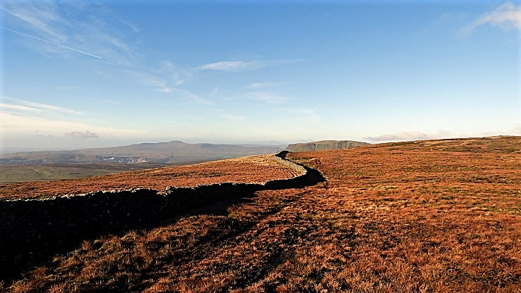
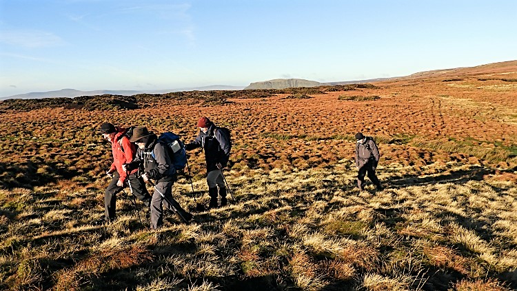
Continuing south from Fountains Fell and on to Out Moor, the paths of walkers preceding us fragmented and disappeared. Sometimes, as they often do, remnants of path appeared again and then dispersed or disappeared again, usually in a boggy rut where everyone took their own decision of where to cross the mire and regain the dry side without falling below the top level of the boot. Fortunately, as we were on a 'right to roam' route now, a wall line kept us on the course of near-true, though now and again we had to cross over the wall. No problem of collapsing it though; much of the wall was already at step-over level. It was not a fully functioning wall in any sense of the word any more. No damage was done as we homed in on the object of Out Moor. My predetermined target had been a remote trig pillar in the middle of the open moor. I spotted it and made a direct line, walking to grid reference SD 86644 68559. We took a final short break at the trig pillar, a 593-metres-high break.
View to Pen-y-ghent from Out MoorNear the trig pillar on Out Moor
From the trig point the plan was to keep on the line of the drystone wall which would lead us to the Stainforth to Malham Tarn road and sure enough we first did that. While on the way down from Out Fell towards the road I took a chance read of the Ordnance Survey Explorer map and spotted the line of a path which would lead us down, a little away from the wall. We all agreed to follow it and so I led the line. About 50 metres on I put my left foot down and it kept going! My left bum cheek arrested my fall towards the centre of the earth and with one foot about two feet lower than the other I collapsed in a heap — a narrow drainage trough it was, and there were more around. “Darn this for a game of soldiers!” I exclaimed. “About turn,” suggested one of the team. Back to the wall we went which we followed safely most of the way down. Only when we spotted a field gate across the low part of the moor-side field did we leave the security of our guide wall. Soon after we arrived at the sure tread of the metalled road.
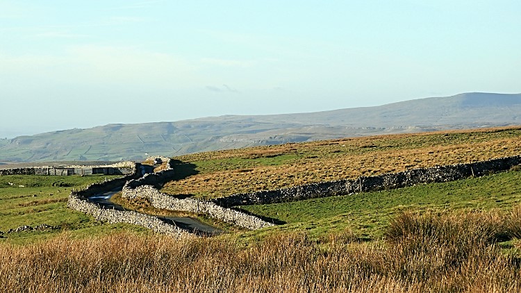
Tracking down Out Moor to the roadDrystone walls show the way home
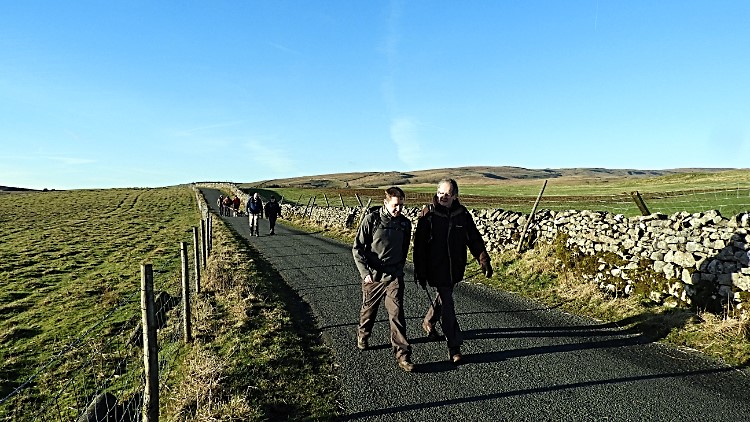
On the road it was time to relax, amble and chat in small groups once more. Everyone was happy, or so it seemed — smiling and laughing, walking and talking freely as it should be at the scrag end of a good day out rambling. Adam and Thomas garnered a little pace and led the way homeward. They got about 50 metres ahead of us all by the time they reached a junction in the road — left fork leading to Arncliffe, right fork leading to where the cars were parked. Inevitably they took the wrong one so I had to shout them back! By the time they heard me the 50 yards of gain was a deficit to half the group. They were safely back in the train though and in tight line we all walked casually back to the cars. In two miles of road walking the number of cars which passed us could be counted on one hand. It was no inconvenience at all. Back at the start we all agreed it had been a lovely day out and a great walk to boot. It certainly had.
Afternote: Dave managed to complete the Great Outdoors Challenge. Well done Dave!