Eleftherna
| Statistics and Files | ||
|---|---|---|
| Start: Eleftherna | Distance: 7 km/ 4.3 Miles | Climbing: 100 metres |
| Grid Ref: N/A | Time: 2-3 hours | Rating: Easy |
| Statistics | |
|---|---|
| Start: Eleftherna | Distance: 7 km/ 4.3 Miles |
| Grid Ref: N/A | Time: 2-3 hours |
| Climbing: 100 metres | Rating: Easy |
The Walk: A short walk steeped in history. The walk begins and finishes in the village of Eleftherna and takes the walker through a lush green valley of olive, orange, cypress and pine trees. The ancient Dorian city of Eleftherna is visited as well as a Byzantine tower, Roman cisterns and a fabulous Hellenistic Bridge. The richness of the area is evidenced by the continuing work on archaeological digs that continue to spring up in the region. Obviously the ancient people knew a good thing when they were on to one. This is a gem of a walk and one any discerning walker should do if they are in Crete.
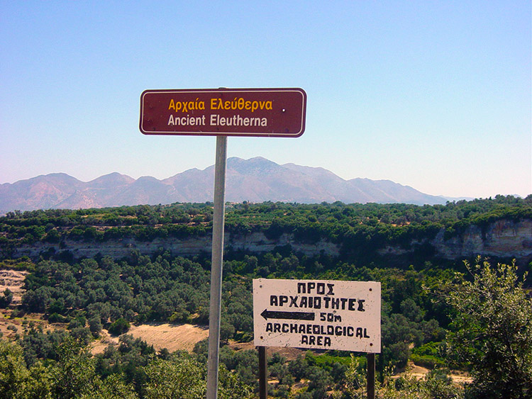 The site of the ancient Dorian Eleftherna city
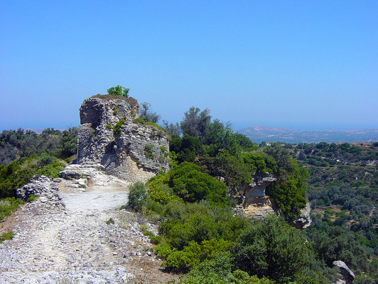 The Byzantine tower at Eleftherna
Start the walk from the car park at Eleftherna's Acropolis Taverna that lies about 200 yards down a track off the main road from the centre of the modern village. Follow a path from the taverna that takes you directly to the Byzantine tower. It stands on a narrow ridge with precipitous drops on either side. It was placed in an ideal defensive position to warn and protect the ancient villagers from marauders. Follow an ancient cobblestone path down from the tower and turn to the left while descending steeply until you reach a distinct rock face on your left. This rock column that supports the tower we have just left is also the site of some magnificent rock-cut cisterns. These cisterns are well worth a look inside and if it is warm out in the sun (as it invariably is) then the cisterns provide a welcome opportunity to cool oneself. It is lovely and refreshing inside the cisterns, not what one would expect. After the cool break in the cisterns move off downhill past a sandstone cliff and past dry water troughs until you reach a selection of paths. This is where the real fun begins. There are no signposts to help you here! Look for a T junction where a path goes off to the left. Take the minor path to the right and you will meet another T junction. Beware though, these tracks are vague.
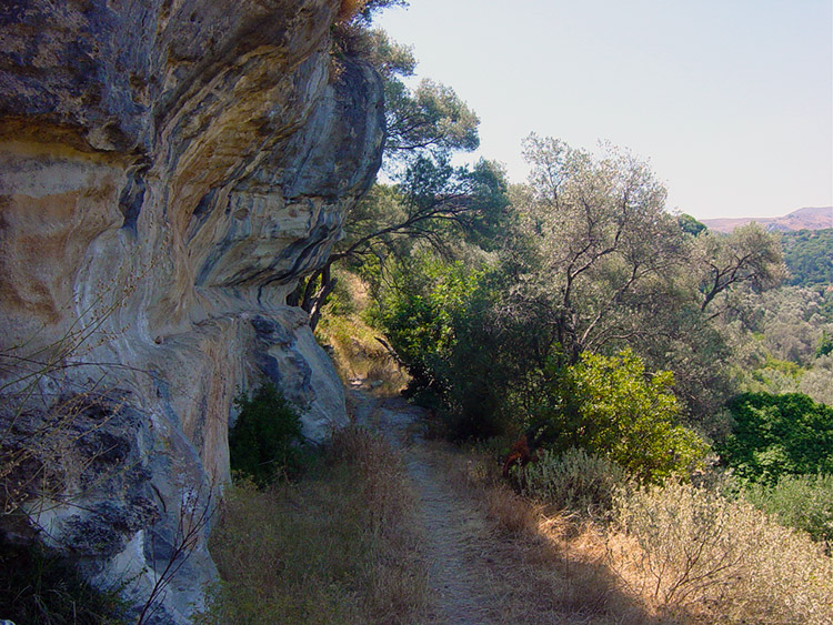 The rock face site of the Roman cisterns
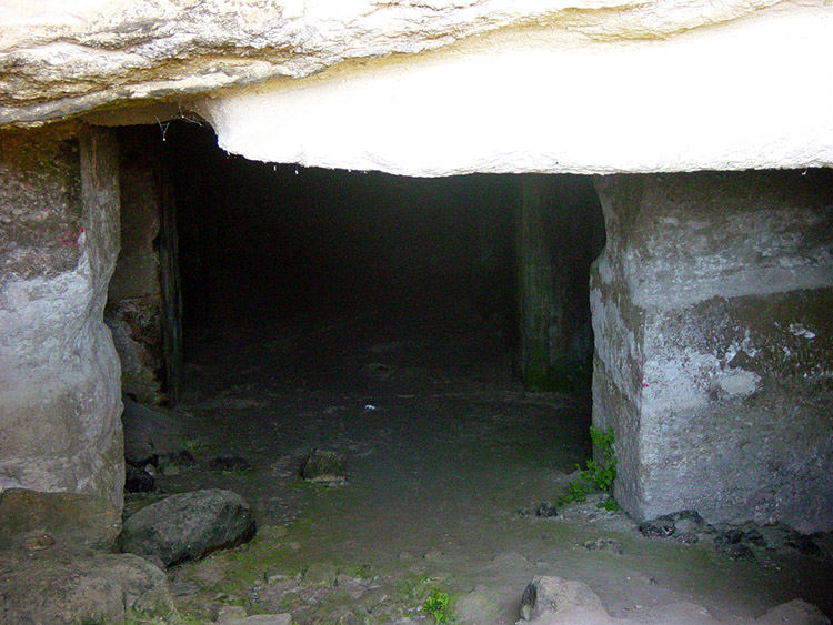 The Roman cisterns
At the second junction go right at this one and look for a black and yellow E4 walkers sign. A few hundred yards further on there is a third decision to make. Another junction is faced. Turn left at this one and follow and you will eventually arrive at the site of an Archaeological dig. Before the dig follow the track down to the stream bed and then continue up the other side of the valley. Ignore a track going off to the right and walk up some earthen steps. Do not ascend all the steps but look for a track going off to the right. Within a few more minutes you arrive at a wide concrete track. The track leads to the Archaeological dig site.
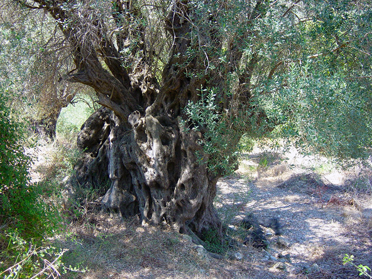 A very interesting tree indeed
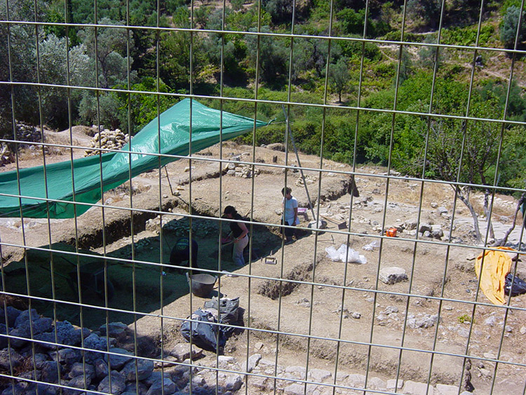 The archaeological dig site
Archaeological excavation work is tough and in summer you will have to endure sweltering conditions with no breeze in this dry hot valley. Believe me, I did. If you do find the E4 markings then you can be reassured. It's not that you can get lost in this valley as you go down one side and back up the other. It is just that all the paths are overgrown and will cut your legs up pretty bad. Not many people walk here, if any. They are missing a jewel of a walk though. The cuts I sustained were well worth it for the historic sights I saw. At the dig a girl exclaimed "Do not take the pictures here" So I did when she was not looking. Naughty me!
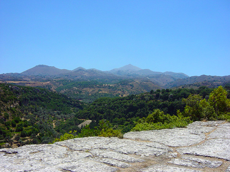 The Oris Idi mountain range
 Eleftherna
It was near the dig that I lost one of my treasured T shirts. I had taken it off and stuffed it into my trousers as it was so hot and it was my only means of wiping the sweat off my face. Somewhere unseen on one of the overgrown tracks it must have got caught on a thorn. I was not going back for it. Goodbye, trusty T shirt. From here the walk took me along the valley to its northern end and to a beautiful Hellenistic bridge. Shame the picture did not come out. I must admit I was really sweltered at this point and having lost my T shirt, uncomfortable. I was on the last of water reserves so could not dwell any more. This was only a short walk but it was blooming hot. So I made my way along more tracks with more teasing decisions on which path to take (it is a darned sight harder than the book makes out) until I eventually caught sight of the Byzantine tower. I made a beeline (tracks permitting) for it and to the Acropolis Taverna. At the taverna I crawled in and ordered coffee, water, orange and coke. Four drinks, all for me and after gulping down the colder ones I enjoyed the coffee in the garden of this beautifully placed establishment. I looked to my right and had great views of the Oris Idi mountain range. I looked straight ahead and down and enjoyed great views of the length of the valley I had just been in. I felt glad I had been down in the valley amidst all it's history. I was very very glad I was out of it now!


