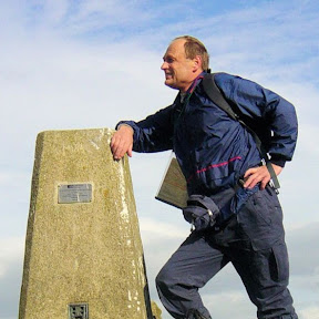
Pieterpad
A 312-mile long-distance path traveling the length of the Netherlands from north to south. With map, statistics, and GPX route file.
Statistics and Files
XY Location: 53.39993, 6.45397
Distance: 312 miles (502 km)
Walk Time: 19 Days, 110 Hours
Trek Time: 12 Days, 92 Hours
Suggested Map:
Walking Guide Part One
Walking Guide Part Two
Summary
The Pieterpad is a long-distance walking route running along the full length of the Netherlands from north to south, much of it close to the German border. It is the most famous long-distance walking route in the Low Countries. While predominantly a Dutch walking route, on short sections the path crosses into Germany.
The trail was conceived by Toos Goorhuis-Tjalsma (1915–2004), living in Tilburg in the south of the Netherlands, and her friend Bertje Jens (1913–2009), living in Groningen in the north. They came up with the idea to design a rambling route between their hometowns, later organized between the far north and the far south. The route has been officially open since 1983.
The character of the walk is typically flat, especially in the wide pan-flat plains of the north, though don’t be fooled. While most of the walk is not much above sea level, there are occasions when the route climbs over 100 metres in altitude—the highest point of the walk is 135 metres (443 feet) at Schimmert. So, there are some climbs and much more of interest, including mesolithic tombs, medieval castles, forests, sand dunes, university towns, historic villages, and Maastricht, home of the euro.
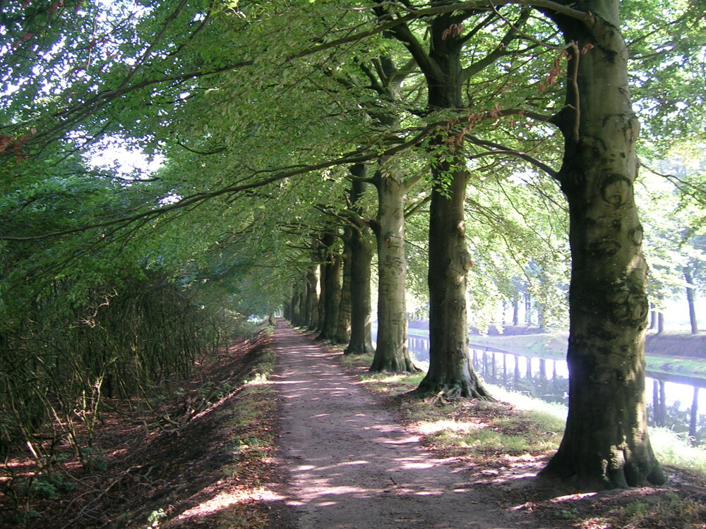 Hellendoorn to Laren
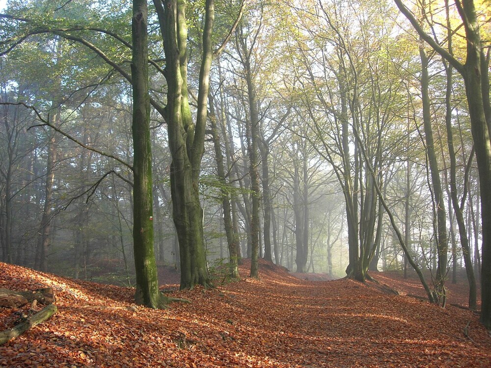 Near Doetinchem
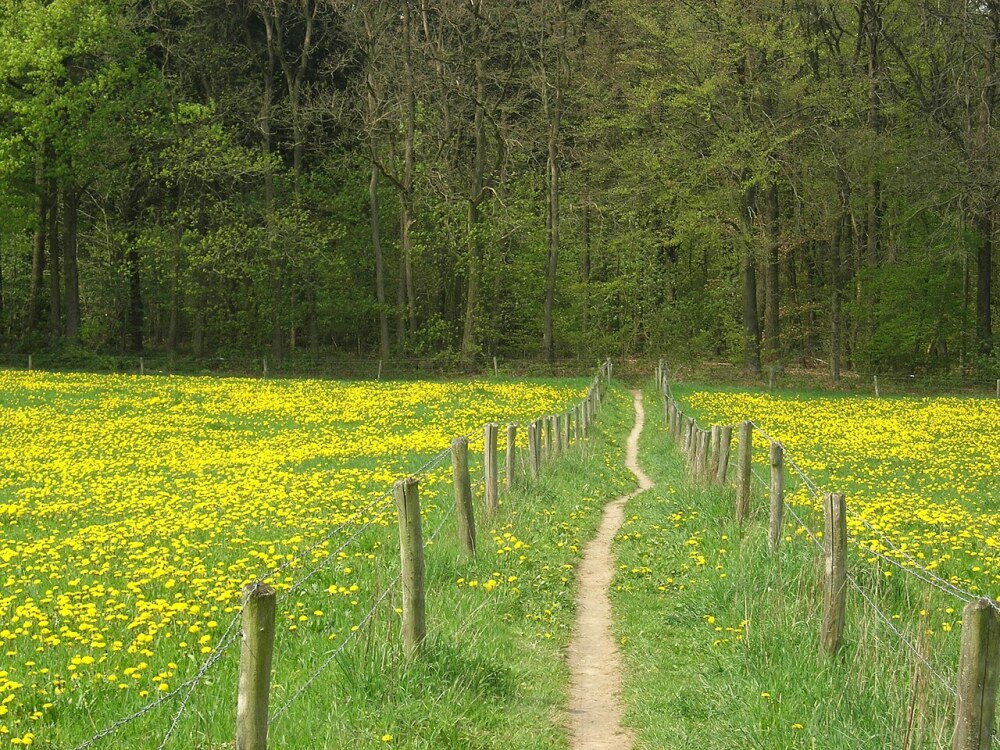 Groesbeek to Gennep
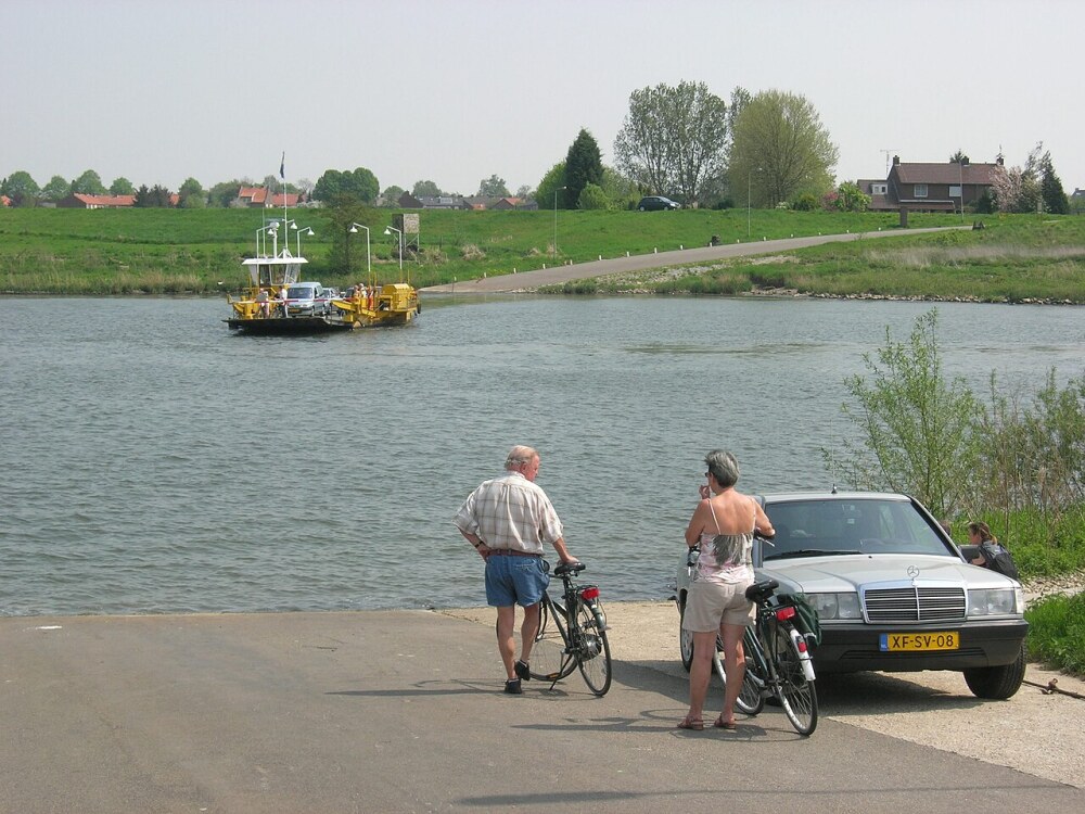 Ferry crossing the Maas near Grubbenvorst
Pictures courtesy of Wikipedia, Reference: Michael Perryman
Useful Links
Feedback and Suggestions
To suggest a link for inclusion on this page, please complete the Walking Englishman Feedback Form. Thank you.