Portuguese Coastal Way - Camino de Santiago
A 170 mile (272 kilometre) long distance path which travels northwards from Porto in Portugal to Camino de Santiago in Spain. With map, statistics and gpx route file.
Google Maps Open Source Maps| Statistics and Files | ||
|---|---|---|
| Start: Porto | Latitude: 41.141649 | Longitude: -8.610757 |
| Distance: 170 miles (272 km) | Climbing: 5,420 metres | Walk Time: 12-15 Days |
| GPX Route File | Google Earth File | About the Portugese Way |
| Statistics | |
|---|---|
| Start: Porto | Distance: 170 miles (272 km) |
| Latitude: 41.141649 | Longitude: -8.610757 |
| Climbing: 5,420 metres | Walk Time: 12-15 Days |
| GPX Route File | Google Earth File |
Suggested Map:
Summary:
The Portuguese Coastal Way, opened officially in 2022, is a scenic 170 mile pilgrimage route from Porto in Portugal to Santiago de Compostela in northern Spain. Following the Atlantic coast, it features beaches, fishing villages, and boardwalks, merging with the Central Route at Redondela. It offers a quieter alternative to the busier and increasingly built-up Central Route, and it is blessed with good infrastructure for the hiker.
Key Details and Highlights:
Route: Starts in Porto, follows the coastline north through towns like Póvoa de Varzim, Esposende, Viana do Castelo, crosses into Spain (Baiona/Vigo), and merges with the main route at Redondela.
Terrain: Mostly flat, coastal paths, sandy beaches, boardwalks, and some, though fewer, inland forest tracks compared to the Central Route.
Best Time to Walk: April to October, with July and August being the hottest and busiest.
Highlights: Stunning ocean views, fresh seafood, the Eiffel bridge in Viana do Castelo, and the scenic Vigo estuary.
Logistics: Well-marked with yellow arrows; excellent, readily available accommodation (hostels, hotels, albergues).
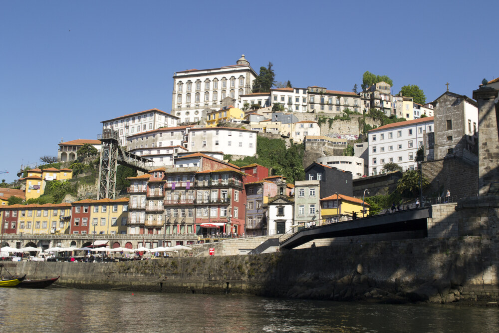 Porto as seen from the Douro
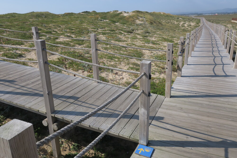 Boardwalk with marking on the Portuguese Coastal Way
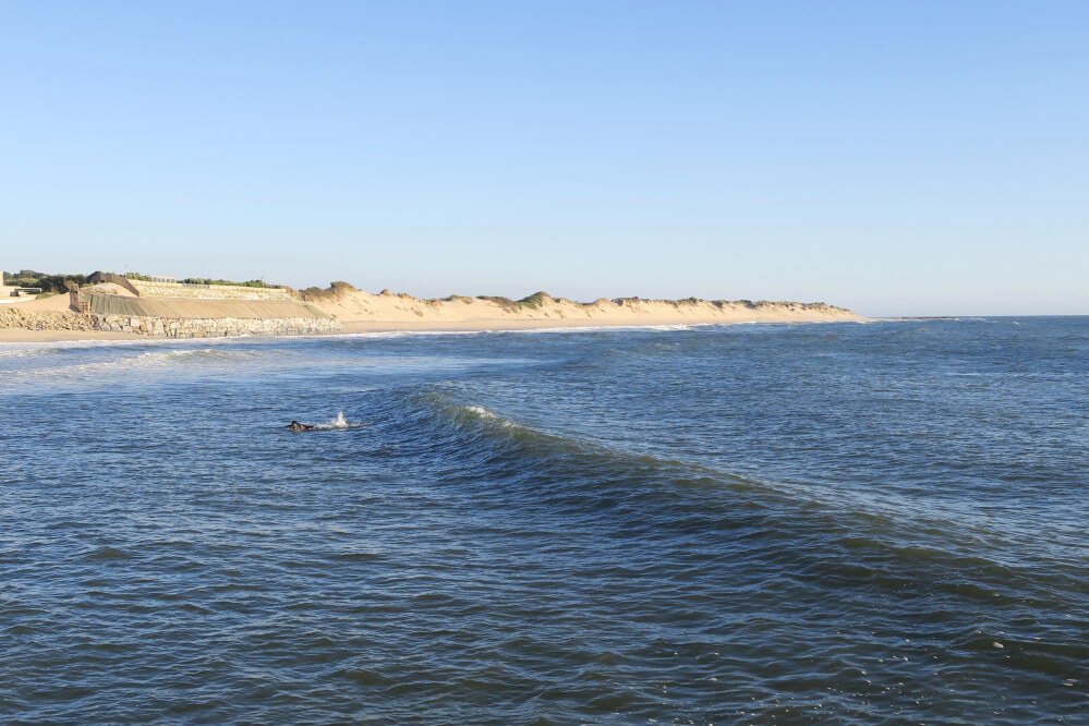 The Sand Dunes in Ofir
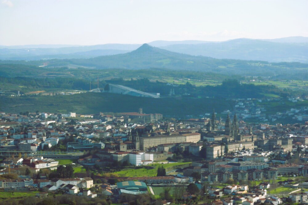 Santiago de Compostela and Pico Sacro
Key Details and Highlights:
Route: Starts in Porto, follows the coastline north through towns like Póvoa de Varzim, Esposende, Viana do Castelo, crosses into Spain (Baiona/Vigo), and merges with the main route at Redondela.
Terrain: Mostly flat, coastal paths, sandy beaches, boardwalks, and some, though fewer, inland forest tracks compared to the Central Route.
Best Time to Walk: April to October, with July and August being the hottest and busiest.
Highlights: Stunning ocean views, fresh seafood, the Eiffel bridge in Viana do Castelo, and the scenic Vigo estuary.
Logistics: Well-marked with yellow arrows; excellent, readily available accommodation (hostels, hotels, albergues).
Porto as seen from the DouroBoardwalk with marking on the Portuguese Coastal WayThe Sand Dunes in OfirSantiago de Compostela and Pico SacroPictures, courtesy of Wikipedia
Useful Links:
Portugese Ways Guide Book
Walkers Guide
Macs Adventures Self Guided
Headwater Self Guided
Feedback and Suggestions: To suggest a link for inclusion on a this page please complete the Walking Englishman Feedback Form. Thank you.


