GR221 Mallorca Dry Stone Route (Ruta de la Pedra en Sec)
The GR 221 Dry Stone Route is a premier long-distance hiking trail in Mallorca that traverses the Serra de Tramuntana, a UNESCO World Heritage mountain range.
Google Maps Open Source Maps| Statistics and Files | ||
|---|---|---|
| Start: Port d'Andratx | Latitude: 39.548287 | Longitude: 2.385443 |
| Distance: 82 miles (132 km) | Climbing: 6,180 metres | Walk Time: 7-10 Days |
| GPX Route File | Google Earth File | About the Walk |
| Statistics | |
|---|---|
| Start: Port d'Andratx | Distance: 82 miles (132 km) |
| Latitude: 39.548287 | Longitude: 2.385443 |
| Climbing: 6,180 metres | Walk Time: 7-10 Days |
| GPX Route File | Google Earth File |
Suggested Map:
Summary:
The GR221, also known as the Ruta de Pedra en Sec (Dry Stone Route), is a renowned long-distance hiking trail spanning approximately 150 km (93 miles) across the Serra de Tramuntana mountain range in Mallorca, Spain. Recognized as a UNESCO World Heritage Site, this trail takes walkers from Port d'Andratx in the southwest to Pollença in the north, traversing rugged limestone ridges, ancient olive groves, and traditional mountain villages.
While the nominal main route, as shown in the map, is 82 miles (132 kilometres), there are an additional 90 kilometres of variants. Following the main route the walk is commonly divided into 7–10 stages, typically taking 7–10 days to complete.
Highlights on the trail features dramatic scenery, including the Barranc de Biniaraix, the Archduke’s Trail near Valldemossa, and the Lluc Monastery. The highest Point is Coll de ses Cases de sa Neu at approximately 1,300m, depending on the route taken.
Signage on the trail is generally well-marked with red and white flashes and specific dry stone signposts.
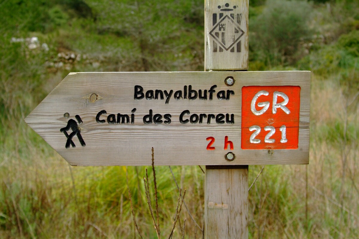 Signage of the GR221 is seen throughout the walk
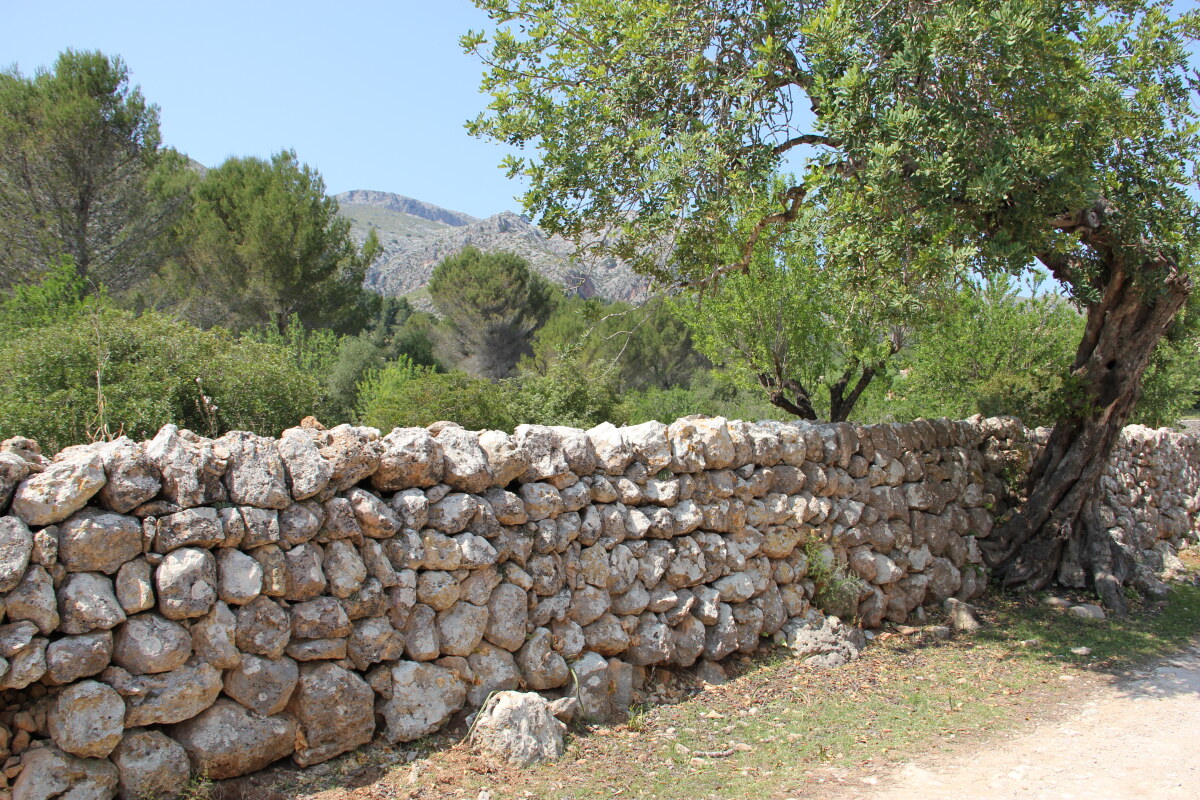 A typical dry stone wall on the GR221
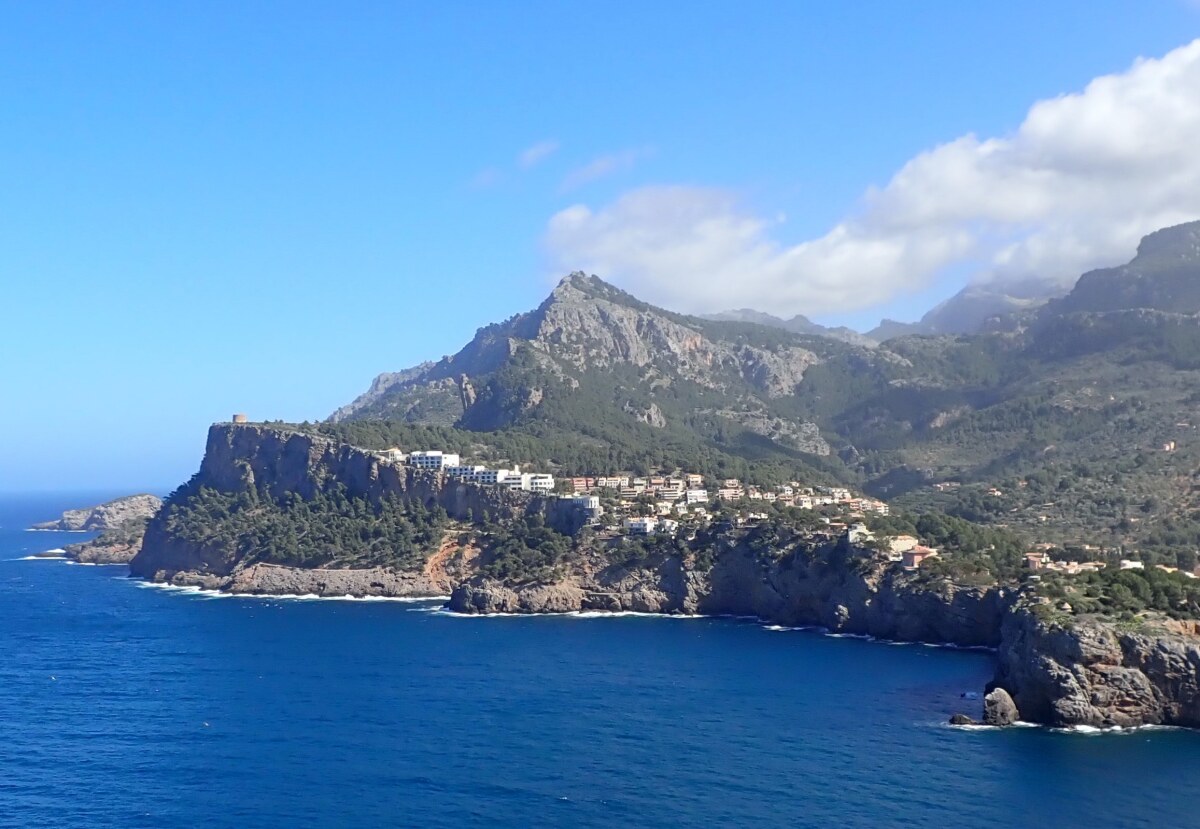 Es Mal, Port de Soller
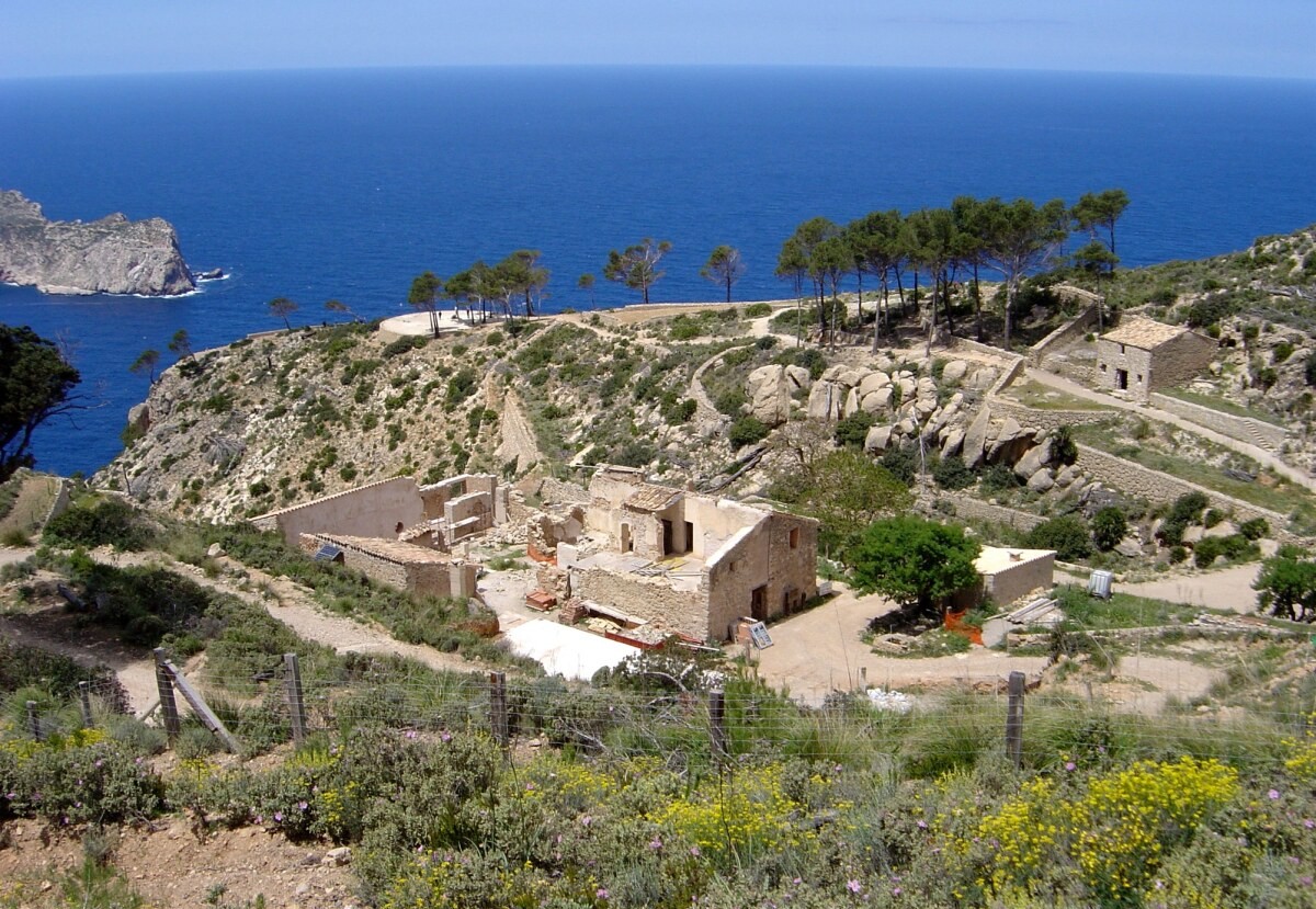 The former Trappist monastery La Trapa
While the nominal main route, as shown in the map, is 82 miles (132 kilometres), there are an additional 90 kilometres of variants. Following the main route the walk is commonly divided into 7–10 stages, typically taking 7–10 days to complete.
Highlights on the trail features dramatic scenery, including the Barranc de Biniaraix, the Archduke’s Trail near Valldemossa, and the Lluc Monastery. The highest Point is Coll de ses Cases de sa Neu at approximately 1,300m, depending on the route taken.
Signage on the trail is generally well-marked with red and white flashes and specific dry stone signposts.
Signage of the GR221 is seen throughout the walkA typical dry stone wall on the GR221Es Mal, Port de SollerThe former Trappist monastery La TrapaPictures, courtesy of Wikipedia
Useful Links:
Eurohike - Self Guided Walk
Wild Bee Advice For Families
Feedback and Suggestions: To suggest a link for inclusion on a this page please complete the Walking Englishman Feedback Form. Thank you.


