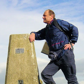
Vogtland Panorama Weg – Fernwanderweg
The Vogtland Panorama Weg is a 230-kilometre circular route through the federal states of Thuringia and Saxony, wending its way through the Ore Mountains and Vogtland Nature Park. With map, statistics, and GPX route file.
Statistics and Files
Latitude: 50.622709
Longitude: 12.244148
Distance: 143 miles (230 km)
Walk Time: 10–14 Days
Suggested Map:
Vogtland Panorama Weg Wandertourenführer 1:33,000
Summary
The Vogtland Panorama Weg (Vogtland Panorama Trail) is a roughly 143-mile (230-kilometre) circular hiking route through the border region of Saxony and Thuringia in Germany. It was the first long-distance trail in eastern Germany to be certified as a “Quality Trail” by the German Hiking Association.
Trail Overview:
The trail is traditionally divided into 12 daily stages, ranging from 12 to 24 kilometres each. It starts and ends at the Göltzsch Valley Bridge, the world’s largest brick bridge.
• Total Distance: 143 miles (230 kilometres)
• Total Ascent/Descent: Approximately 6,930 metres
• Difficulty: Generally considered moderate to challenging depending on the stage
• Scenery: Features over 80 panoramic viewpoints across river valleys, flowery meadows, and dense forests
Key Highlights:
• Architectural Marvels: Besides the Göltzsch Valley Bridge, the trail passes the Elster Viaduct and Mylau Castle.
• Cultural Hubs: The route leads through the “Musikwinkel” (Music Corner), including Markneukirchen, famous for musical instrument making, and Klingenthal, known for accordions.
• Spa Towns: Hikers visit the historic Saxon state spas of Bad Elster and Bad Brambach.
• Unique Stops: The trail passes the German Space Exhibition in Morgenröthe-Rautenkranz and the Wernesgrüner Brewery.
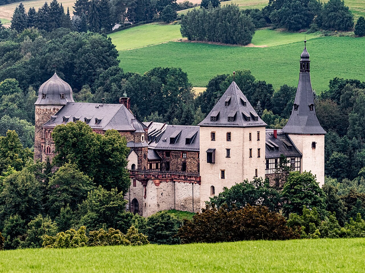 Burg Mylau
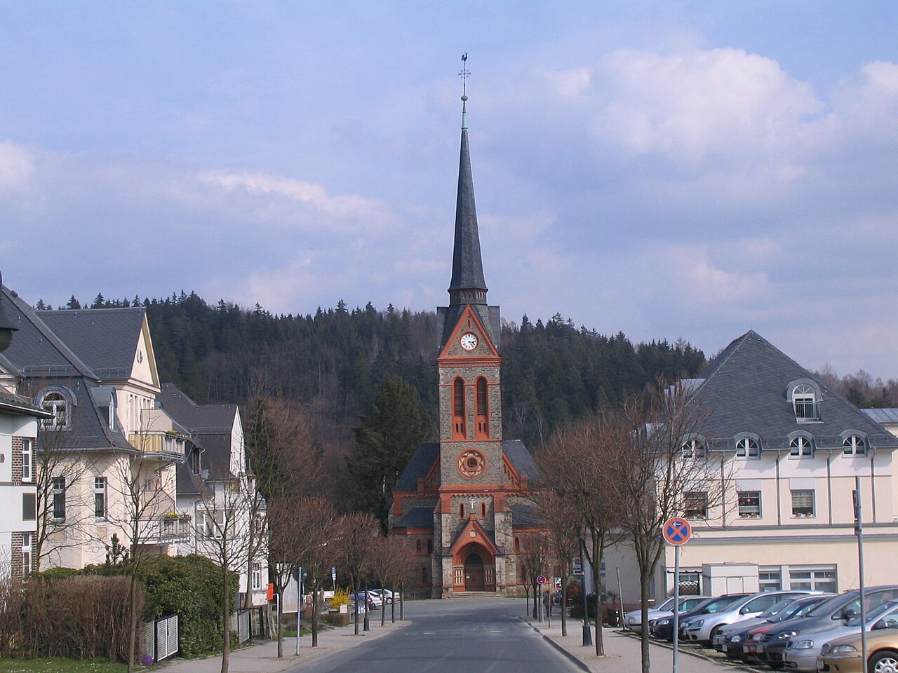 Bad Elster
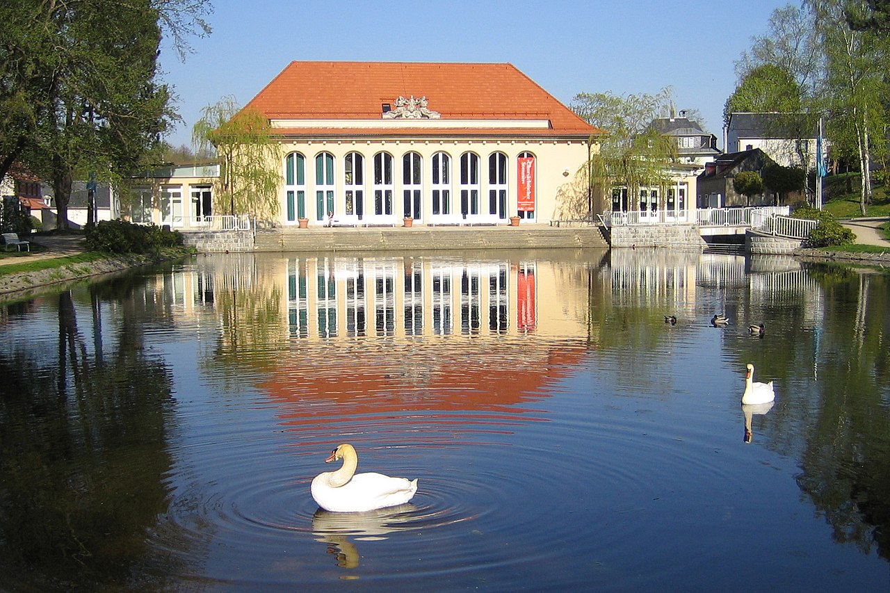 Bad Brambach
 German Space Exhibition
Pictures courtesy of Wikipedia
Feedback and Suggestions
To suggest a link for inclusion on this page, please complete the Walking Englishman Feedback Form. Thank you.