County Tops of Wales: Anglesey
Holyhead Mountain: 220 metres (Grid Ref: 219829)
Google Maps Open Source Maps| Route Statistics and Files | ||
|---|---|---|
| Start: Plas Nicol Car Park | Grid Ref: SH211818 | Distance: 2.6 miles (4.2 km) |
| Climbing: 202 metres | Time: 1-2 hours | Rating: Easy |
| GPX Route File | Google Earth File | Map: 262 Anglesey West/ Gorllewin Ynys Mon |
| Statistics | |
|---|---|
| Start: Plas Nicol Car Park | Grid Ref: SH211818 |
| Distance: 2.6 miles (4.2 km) | Time: 1-2 hours |
| Climbing: 202 metres | Rating: Easy |
| GPX Route File | Google Earth File |
| Map: 262 Anglesey West/ Gorllewin Ynys Mon |
The Walk: You could simply walk up Holyhead Mountain from the car park and straight back down again. However should I do it I would take the route shown by my map shown above and which is included in my route files and statistics. As part of the straightforward walk to the top of Holyhead Mountain I would take advantage of the Wales Coastal Path on the return to enjoy a closer view of the lighthouse on South Stack.
The Walk I Would Do: If I were in the vicinity and wishing to climb Holyhead Mountain I would walk this 5 mile circular, courtesy of the BBC. Download it here. I can provide a GPS routefile for this walk on request.
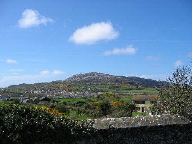
Information: Holyhead Mountain (Mynydd Twr in Welsh: from (pen)twr, meaning "tower") is the highest hill on Holy Island, Anglesey, and the highest in the county of Anglesey, north Wales. It lies about two miles west of the town of Holyhead, and slopes steeply down to the Irish Sea on two sides. There is a late Roman watchtower, called Caer y Tŵr (Tower Fortress) from which the Welsh name is derived on the east side of the hill. Holyhead Mountain also has an Iron Age Stone Circle settlement and the material for the Breakwater was quarried from the Mountain too. It is the first sight of land people have when travelling from Dublin to Holyhead. (Source: Wikipedia)


