County Tops of Wales: Flintshire
Moel Famau: 555 metres (Grid Ref: SJ161626)
Google Maps Open Source Maps| Route Statistics and Files | ||
|---|---|---|
| Start: Bwlch Penbarra | Grid Ref: SJ161605 | Distance: 3.3 miles (5.3 km) |
| Climbing: 252 metres | Time: 2 hours | Rating: Moderate |
| GPX Route File | Google Earth File | Map: 265 Clwydian Range/ Bryniau Clwyd |
| Statistics | |
|---|---|
| Start: Bwlch Penbarra | Grid Ref: SJ161605 |
| Distance: 3.3 miles (5.3 km) | Time: 2 hours |
| Climbing: 252 metres | Rating: Moderate |
| GPX Route File | Google Earth File |
| Map: 265 Clwydian Range/ Bryniau Clwyd |
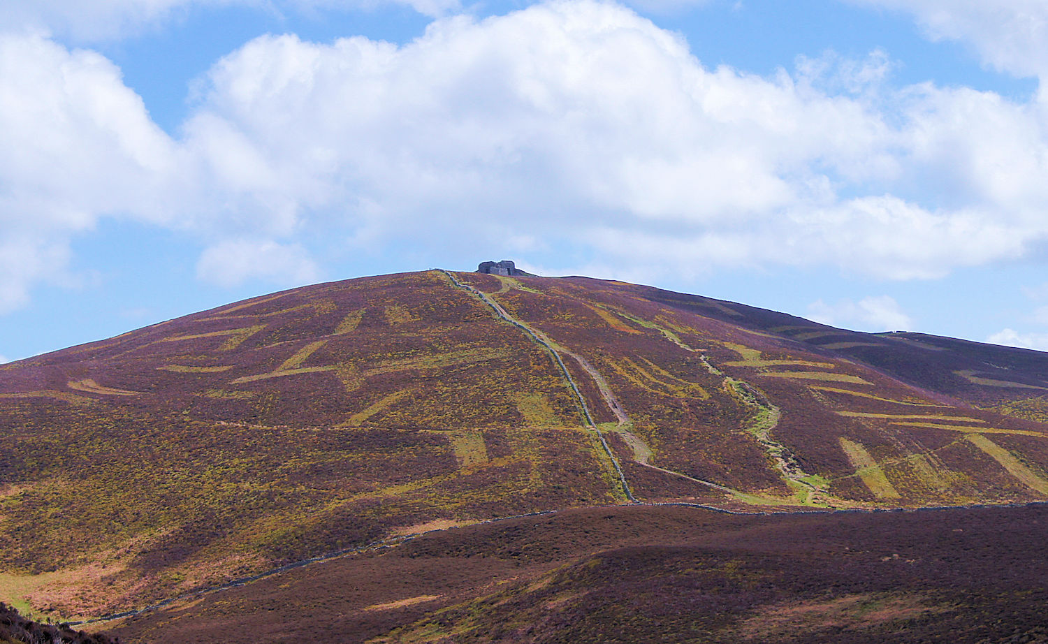
The Walk: The walk to reach Flintshire's county top is as simple as they come though there is a little effort required on the 250 metre climb from Blwch Penbarra. The path which forms part of Offa's Dyke National Trail is good and well maintained. The walk up to Moel Famau is a focused one with the imposing Jubilee Tower at the summit keeping the walkers eyes centered on the intended summit. Once Moel Famau is summited the return could not be more different. Hope for a good day because the views south-west, south and south-east are exceptional. Far reaching views of exceptional Welsh countryside are to be enjoyed. It is an amazing view making the climb to Moel Famau a famous and ever popular one. You will be extremely lucky to have the path to yourself.
The Walk I Would Do: I would create a circular walk by beginning from Blwch Penbarra and walking in a westerly direction down to Fron-bellaf. From here I would follow the path north to Bron-y-felin and then climb the path running parallel to Nant-y-ne up the Clwydian Range. Basically this route fully circumnavigates Moel y Gaer hill fort which I would possibly visit too. Of course once I had reached Moel Famau summit and touched the trig pillar I would relax at Jubilee Tower before making that spectacular descent back to Blwch Penbarra. (Map and/ or route file available on request)
Information: Moel Famau (or Moel Fama) is the highest hill within the Clwydian Range, formerly Flintshire Range, on the boundary between Denbighshire and Flintshire in Wales. The hill, which also gives its name to the Moel Famau country park, has been classed as an Area of Outstanding Natural Beauty since 1985. It is also surrounded by several well-preserved Iron-Age hill forts. A northern part of the Offa's Dyke footpath, one of the United Kingdom's most popular National Trails, crosses the summit of Moel Famau and the Jubilee Tower. (Source: Wikipedia)


