Bosworth Field and Sutton Cheney
Walking to the site of the battle which ended the Wars of the Roses
Google Maps Open Source Maps| Statistics and Files | ||
|---|---|---|
| Start: Car Park | Distance: 2.7 miles (4.3 km) | Climbing: 46 metres |
| Grid Ref: SK 41047 00496 | Time: 1-2 hours | Rating: Easy |
| GPX Route File | Google Earth File | My Battlefield Trail Walk |
| Statistics | |
|---|---|
| Start: Car Park | Distance: 2.7 miles (4.3 km) |
| Climbing: 46 metres | Grid Ref: SK 41047 00496 |
| Time: 1-2 hours | Rating: Easy |
| GPX Route File | Google Earth File |
Ordnance Survey Explorer Map (1:25,000)
The Walk:
The Battle of Bosworth Field on 22nd of August 1485 was one of the great turning points in English history. The death of King Richard III, and the defeat of his forces by those of Henry Tudor, ended the long, unstable period of the Wars of the Roses. This was achieved in an encounter that lasted only an hour, and took the form of brutal and clumsy hand to hand combat.
This was the last occasion on which the King of England died fighting in battle. Henry has crowned Henry VII - it is said that the crown was found behind a bush while Richard's men were still been slaughtered, and was placed on Henry's head with the battle still raging. Henry established the Tudor dynasty, which brought prosperity and stability at home, as well as power and great conquests abroad, finally coming to an end in 1601, when Elizabeth I died without issue, and the throne passed to the Stuarts of Scotland.
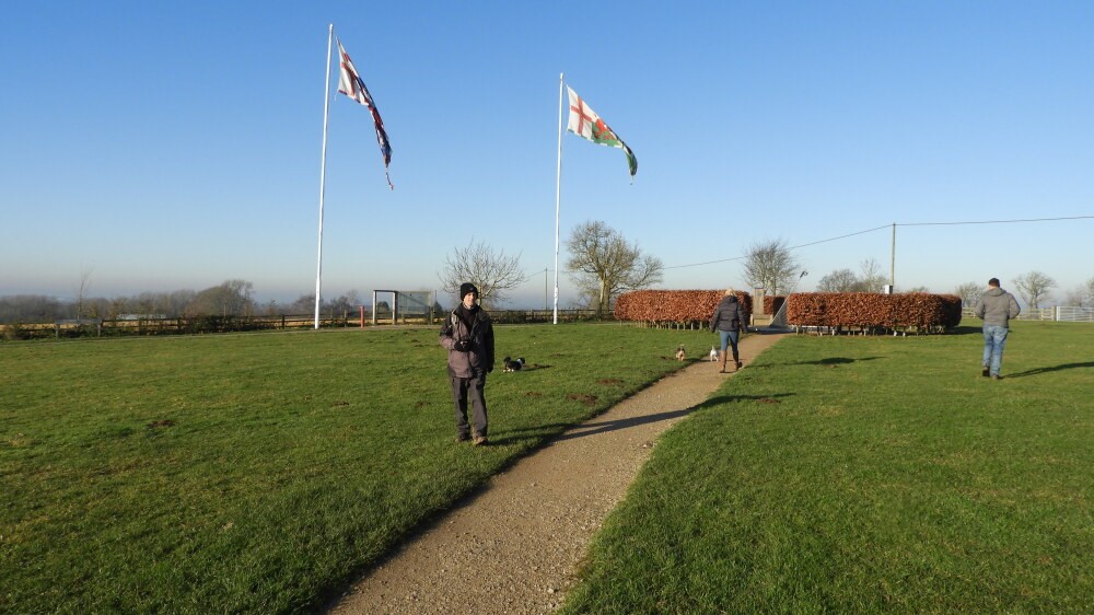 Bosworth Battlefield
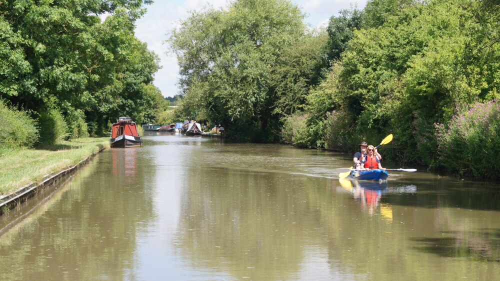 Ashby-de-la-Zouch Canal
The walk explores the site of the historic battle, now pleasant farmland, and the country round about. It begins at the car park for the Battle of Bosworth Field Heritage Centre, near the hamlet of Sutton Cheney. Most of the actual fighting took place on Ambion Hill, close to here, but the battle was named after the small town of Market Bosmouth, which lies on the sky-line to the north. The excellent displays in the visitor centre are augmented by events throughout the summer, while the well laid out and very informative Battlefield Trail gives an account of the battle, and the events that led up to it.
From the visitor centre, you walk through the conifers of Ambion Wood to the Ashby Canal, which was built between 1794 and 1804 to transport call from the developing coalfields in the north-west of the country to Hinckley and Leicester. It was never a very successful venture, and was superseded by the Leicester to Swannington Railway, one of the earliest lines to be built in Britain in the 1830's.
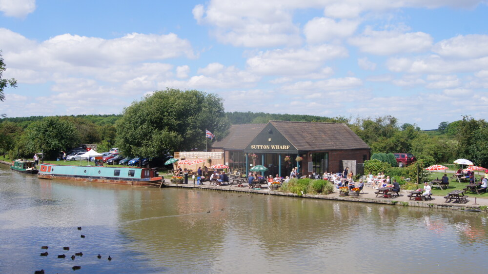 Sutton Wharf
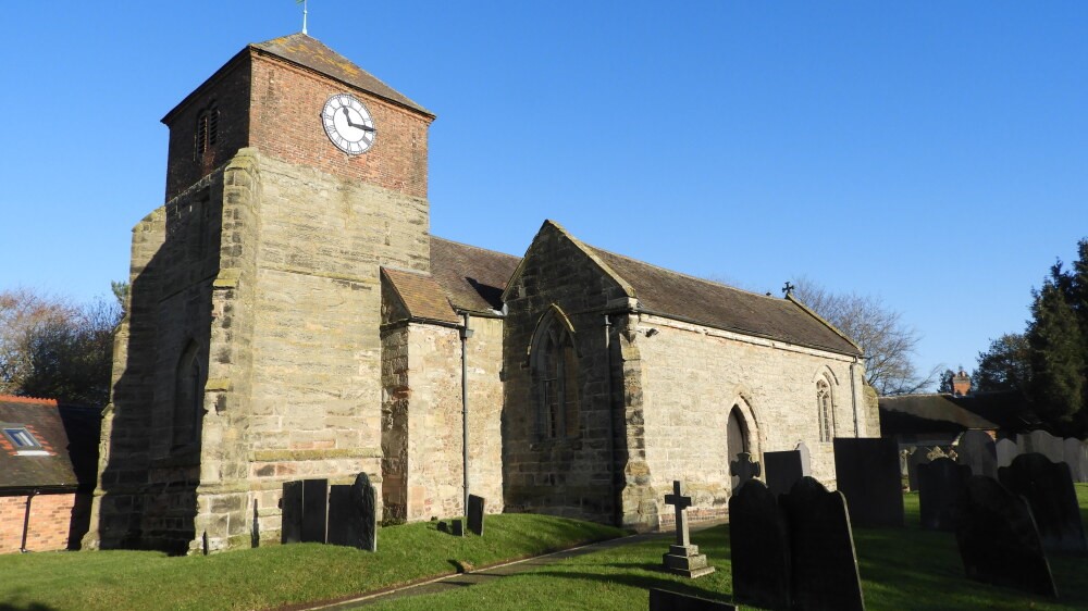 Sutton Cheney church
Where the canal is crossed by a lane at Sutton Wharf, you turn up the quiet road to Sutton Cheney. Richard III marched through here from Leicester with his troops, before camping out on Ambion Hill the night before the battle. The quaint 14th century church was standing then, and tradition has it that he attended his last Mass here on the morning before the battle. To the east of the church there is an attractive row of almshouses, founded in 1612.
Just outside the village, as you walk down another lane back to the car park, you pass an early Bronze Age burial mound. Richard is said to have addressed his forces at this ancient site on the eve of the battle.
Acknowledgment: Text derived from the Out and Out Series; Discovering the Countryside on Foot. Pictures courtesy of Wikipedia.


