Skipton and Stirton
An historic market town and wool centre with an imposing castle
Google Maps Open Source Maps| Statistics and Files | ||
|---|---|---|
| Start: Skipton | Distance: 3.4 miles (5.5 km) | Climbing: 107 metres |
| Grid Ref: SD 99016 51825 | Time: 2 hours | Rating: Easy |
| GPX Route File | Google Earth File | About Skipton |
| Statistics | |
|---|---|
| Start: Skipton | Distance: 3.4 miles (5.5 km) |
| Climbing: 107 metres | Grid Ref: SD 99016 51825 |
| Time: 2 hours | Rating: Easy |
| GPX Route File | Google Earth File |
Ordnance Survey Explorer Map (1:25,000)
The Walk: This is an all-weather walk on tarmac and a canal towpath, exploring the ancient wool town of Skipton. It begins by the library in the broad High Street. On most days, the street is lined with colourful market stalls. A plaque near Barclays Bank records the site of the market cross, pillory and stocks. The market is very old; its charter was granted in 1204. There were weekly markets for perishable goods and larger fairs for leather, wine and salt. The chief trade, however, was in wool, which was the key to Skipton's success.
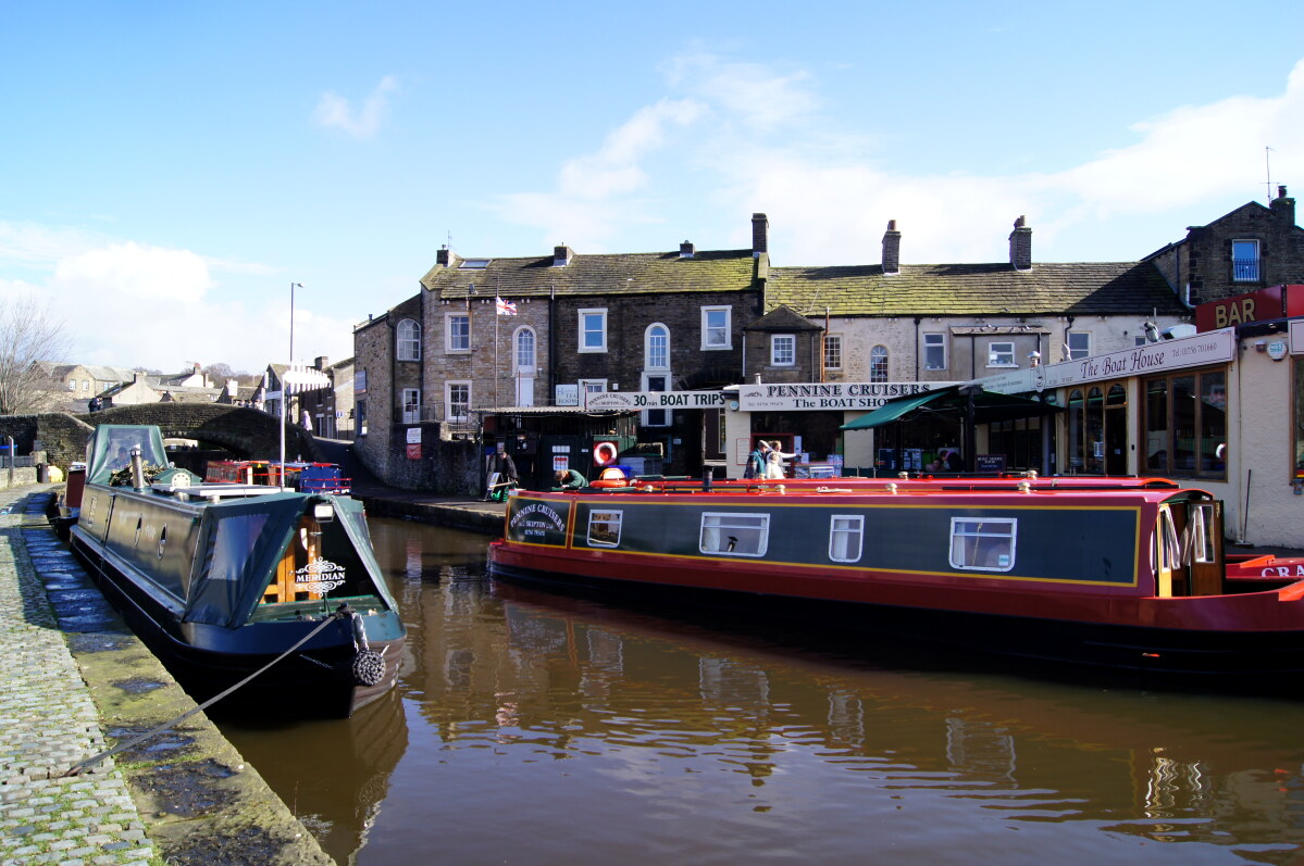 Near Springs Branch Junction
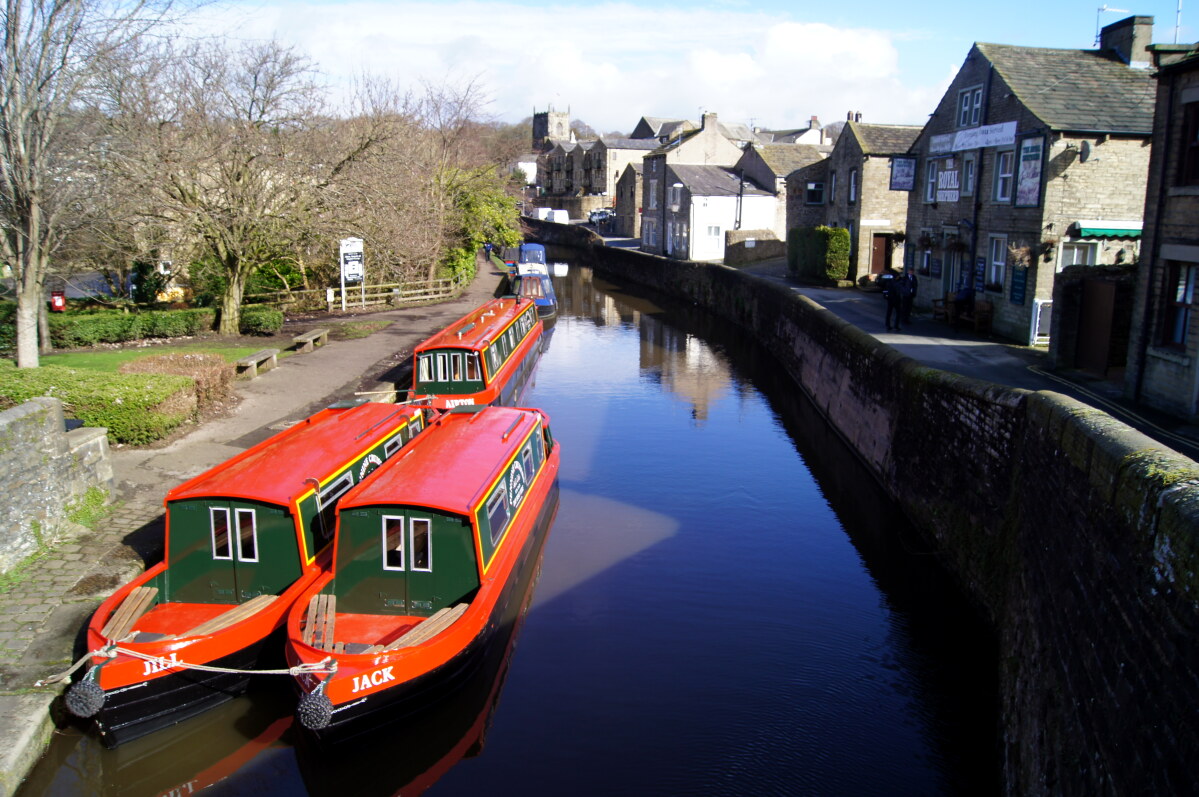 Leeds and Liverpool Canal in Skipton
The first settlers arrived in the 7th century when a group of Anglian sheep farmers settled on the banks of the Eller Beck. In the Domesday Book of 1086, the town was called Sceapton, meaning sheep town.
The town developed quickly as the need for labour in the wool industry grew. Spinners (spinsters) and weavers (websters) led to rapid population growth. The area behind the High Street leading down from the castle was filled in with housing around narrow yards. Some three-storey houses were built with the top storey used as a weaving loft. Many of these yards survive and have been attractively modernised. They are approached from the High Street by narrow alleyways known as 'ginnels', which you pass as you walk down the High Street.
As the High Street merges with a cobblestones of Sheep Street you pass a block of buildings which divides the main street. A plaque near the steps to the upper storey explains that this was the old Town Hall and the cellars below were used as a lock up for criminals. From Sheep Street, turn right, leading to the towpath by the Leeds and Liverpool canal.
Isaac Dewhurst built the 19th century Belle Vue Mill on the canal bank. Originally it produced worsted goods, but switched to cotton when this overtook wool in importance. The mill kept pace with changing technology and became known for 'Sylko' sewing threads. After World War II, Dewhurst's was absorbed by English Sewing Limited, but the mill was not closed until 1983. The Dewhurst family was very active in local affairs, giving Skipton its main recreation area, Aireville Park, through which the walk continues.
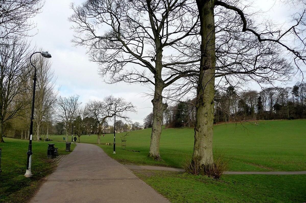 Aireville Park
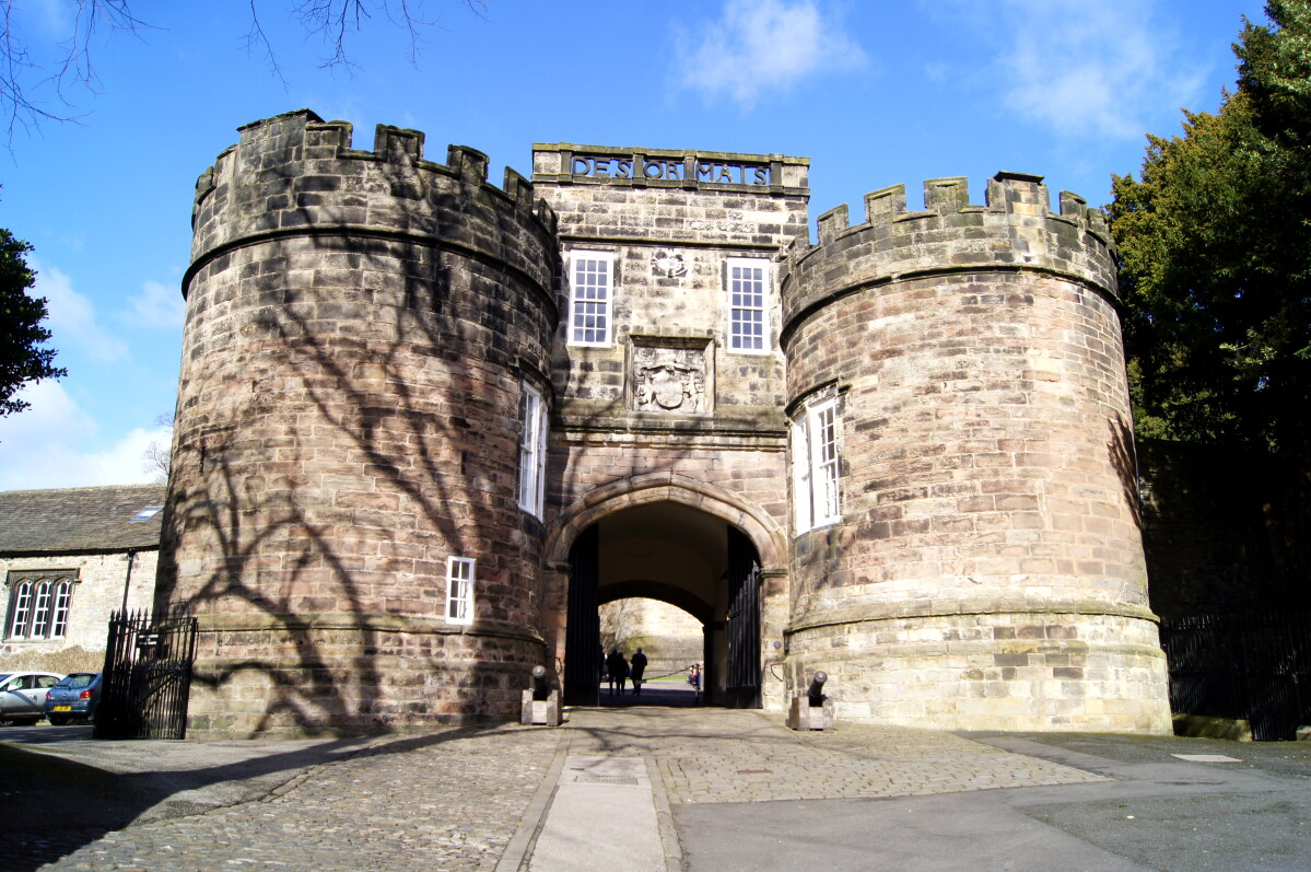 Skipton Castle
After a short walk along the Skipton to Kendal road, a quiet lane leads to the attractive village of Stirton. As you enter the village, you pass an old tithe barn on your left. On the roadside verge there are the remains of double stocks.
The lane leading back towards Skipton is a drovers road, a relic of the times when herds of Scottish cattle were driven to the southern markets. The hedgerows along this lane, full of interesting plants, are thought to be over 400 years old.
Beyond the Pinfold, where stray horses and cattle were once impounded, you come to Mill Bridge, spanning both the Eller Beck and Springs Canal, a spur of the canal which was used to transport stone from a quarry. Next, you pass through the garden like churchyard of the 12th century parish church, emerging by the barbican gatehouse of Skipton Castle.
The strategic importance of Skipton was recognised by the Norman Baron Robert de Romille, who sought to dominate the Aire Gap, a natural division between the north and south Pennines. He built the first castle on a rock above the Eller Beck gorge in the 11th century.
The castle was added to in the 13th and 14th centuries. In the Civil War, it suffered badly from cannon damage and when the Royalists were defeated, Oliver Cromwell ordered its destruction. However, the owner at the time, the remarkable and resolute Lady Anne Clifford, wrote to Cromwell, saying that if he "pulled her castles about her ears", she would "build them up again as fast". She completely restored the castle and Holy Trinity Church next door. In World War II, the castle had an unusual role, providing safe storage for many historical documents belonging to the British Museum.
Acknowledgments: Text derived from the Out and Out Series; Discovering the Countryside on Foot. Pictures courtesy of Wikipedia.


