Osmotherley and Cod Beck
A country walk round a nonconformist village and to a picturesque reservoir
Google Maps Open Source Maps| Statistics and Files | ||
|---|---|---|
| Start: Osmotherley | Distance: 5.3 miles (8.5 km) | Climbing: 250 metres |
| Grid Ref: SE457972 | Time: 2-3 hours | Rating: Moderate |
| GPX Route File | Google Earth File | About Osmotherley |
| Statistics | |
|---|---|
| Start: Osmotherley | Distance: 5.3 miles (8.5 km) |
| Grid Ref: SE457972 | Time: 2-3 hours |
| Climbing: 250 metres | Rating: Moderate |
| GPX Route File | Google Earth File |
Ordnance Survey Explorer Map (1:25,000)
The Walk: This walk at the edge of the North York Moors National Park gives the flavour of the varied natural habitats of the region. Conifer plantations and mixed woodland, fields and open moorland, a reservoir and a clear stream. At its heart is the picturesque village of Osmotherley and its legacy of religious and secular buildings. We start the walk at the market cross in Osmotherley. It was erected in 1874 to replace an ancient one, the top of which can be seen outside number 12 West End. Nearby, the church of St Peter stands on the site of a pre Norman building, stones from which can be seen in the porch. The fine font and doorway are Norman and date from around 1190 but much of the church was destroyed by Scottish raiders in 1322 and restored in 1350. An interesting feature is part of an ancient hog back tombstone, both of its ends supported by a carved bear.
 The view south west from the top of Ruebury Lane
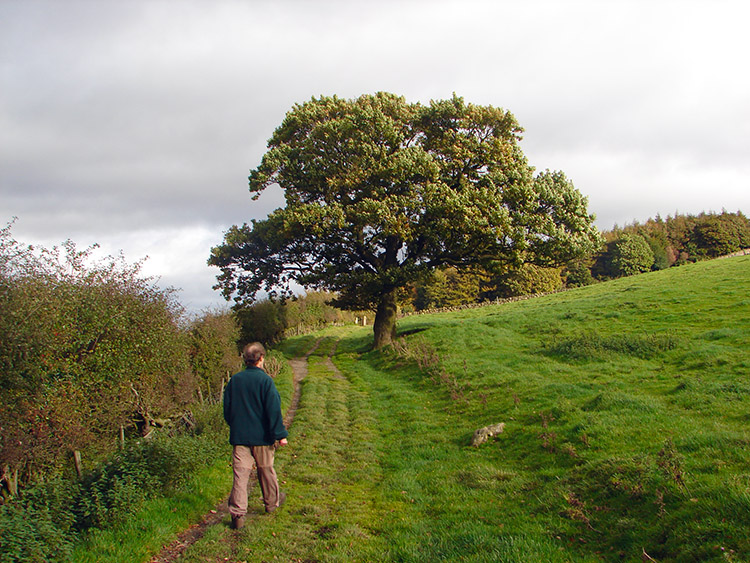 A majestic Oak on the approach to Arncliffe Wood
The Old Hall in North End was bought by Lady Juliana Walmsley in 1665, for the use of Franciscan Friars. They were forced to leave in 1832, but returned in 1969. The top floor is now a lovely Catholic Church, entered through the garden. The friars served pilgrims visiting the Chapel of the Lady of Mount Grace, which stands on the hilltop outside the village. It was built by Carthusian monks from Mount Grace Priory early in the 16th century, on the site of an earlier shrine and rebuilt in 1960. The large well preserved ruins of the priory, which was founded in 1398, are at the bottom of the hill to the west of this walk route.
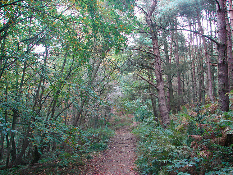 Arncliffe Wood
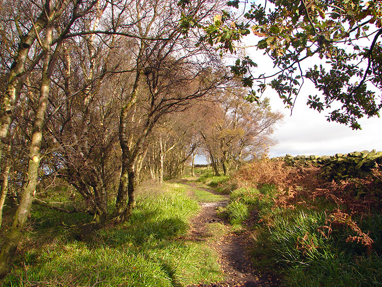 Emerging from Arncliffe Wood at Beacon Hill
As you head north out of Osmotherley you gain height on the walk along Ruebury Lane. At Ruebury Hill there are tremendous views to the west, looking across the pan flat expanse of the Vale of Mowbray. Beyond the vale are the easternmost hills of the Yorkshire Dales. A little further on, you pass a microwave radio station, 982 feet above sea level, which receives and transmits television and telecommunication signals.
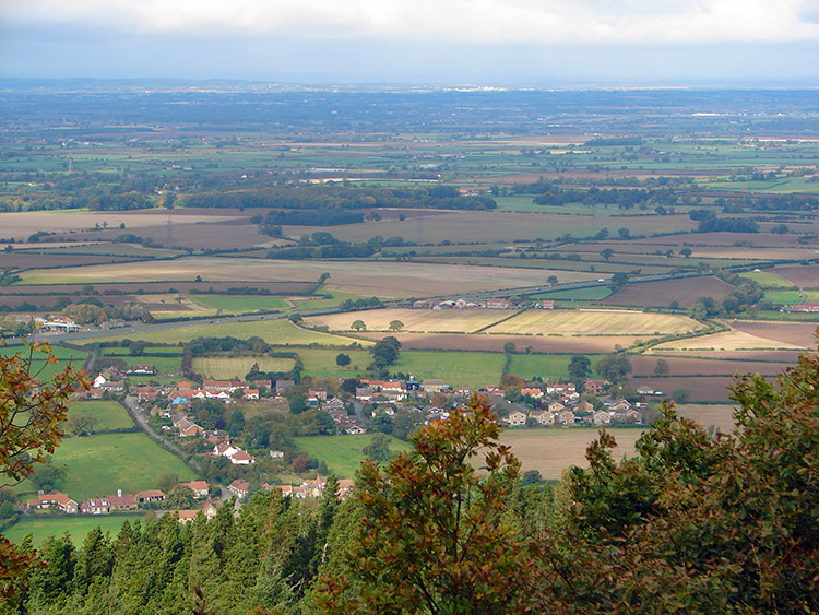 Looking over the Vale of Mowbray
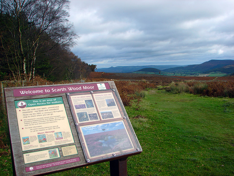 Scarth Wood Moor
The next stretch of the walk crosses open moorland. Red grouse, wheatears and curlews may be spotted here; while adders and common lizards, though not often seen, live among the heather, bilberry and bracken. Hares are a common sight as you cross the open hillside. Soon you turn right and drop down the hillside to arrive at the north end of Cod Beck Reservoir.
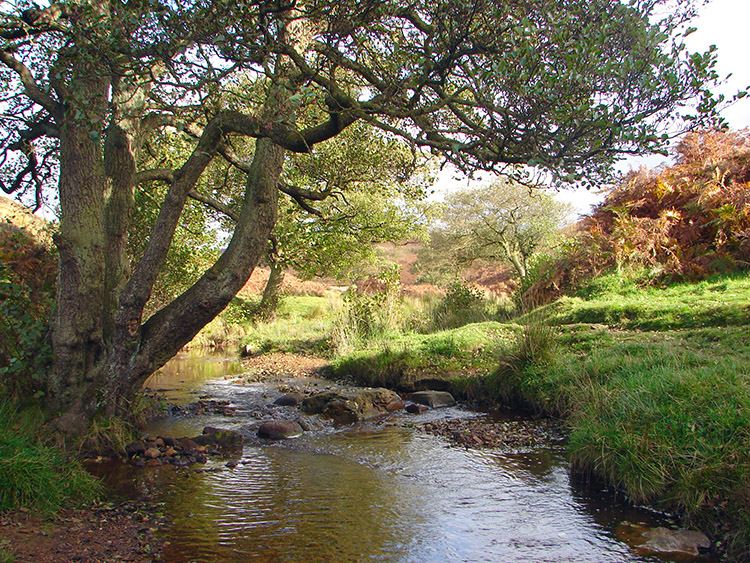 Cod Beck
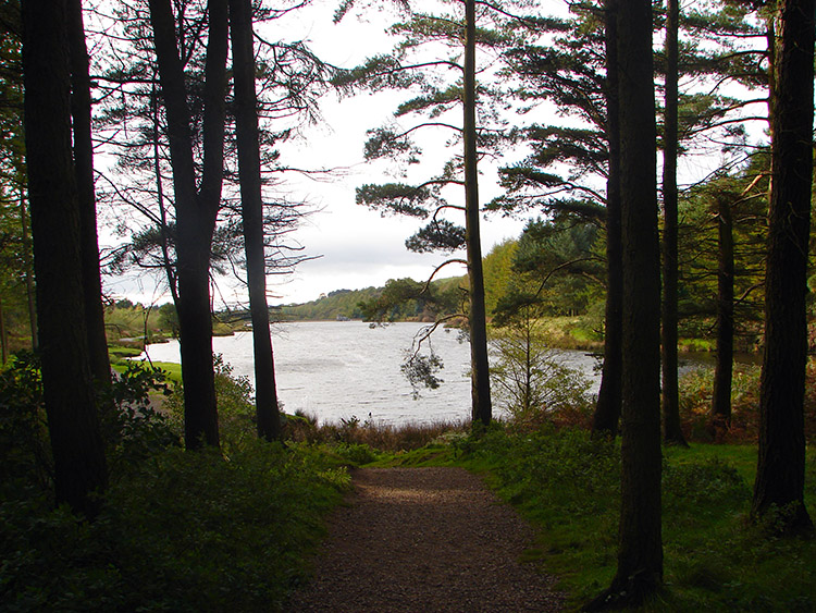 Cod Beck Reservoir
Cod Beck Reservoir was created for the Yorkshire Water Board in 1953. A stone quarry was submerged along with a group of cottages at Wild Goose Nest, where there was once an illicit still. You head across open moor on to an old straight track through a conifer plantation. Green Lane, bordered by honeysuckle, rowan, dog roses, hawthorn and gorse descends gently out of the trees.
 Looking back to Scarth Wood Moor
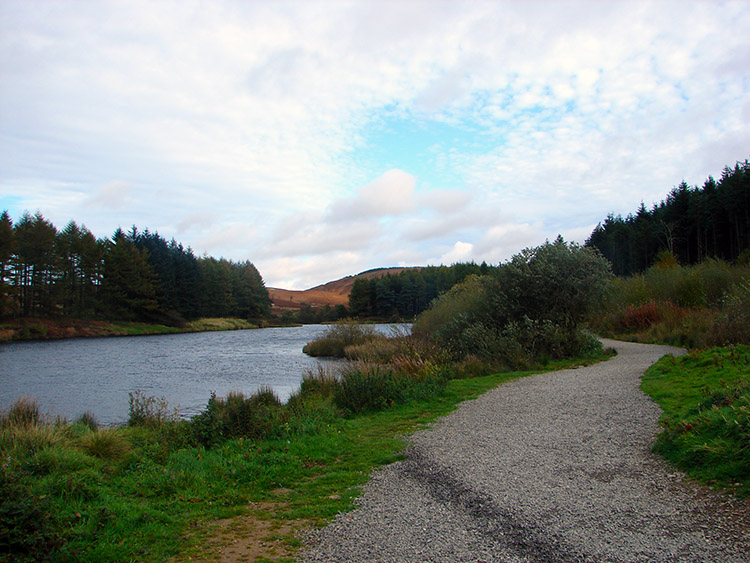
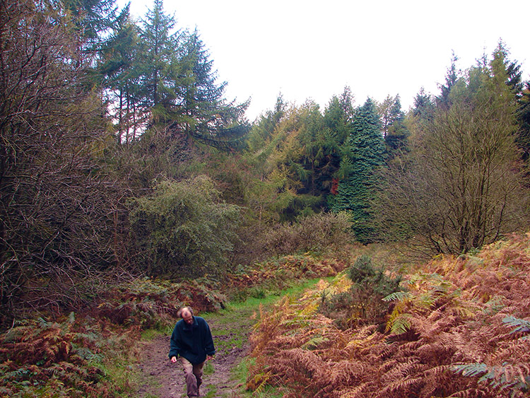 Woodland near Cod Beck Reservoir
Once clear of the trees and onto open ground there are good views of Osmotherley opening out to your right. Around this point, the route turns off to follow the Cleveland Way. This, Britain's second longest long distance path, is a well way marked route that runs 93 miles around the moors from Helmsley to Filey Brigg on the Yorkshire coast. You cross Cod Beck and continue through woodland to the arrive back in Osmotherley.
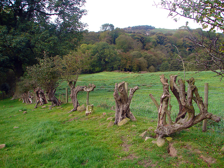 A perished Hawthorn hedgerow
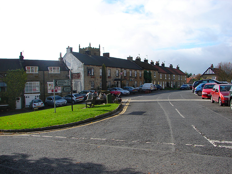 Osmotherley
Osmotherley has connections with John Wesley, first invited here in 1745 by Peter Adams, a former Franciscan Friar. The Methodist Chapel in Chapel Passage, built in 1754, is one of the earliest non conformist chapels in England, and is still in use today. Wesley often preached there, standing on a stool to make up for his short stature. The stool can still be seen in the chapel.


