Gillingham Beach and Horrid Hill
The walk along this section of the Medway is very enjoyable and rewarding and I wold recommend using to construct a larger walk around Medway if you have the time being easily reached from either end. The walk takes in some interesting places including Motney Hill and provides good views of the Hoo and Darnet Ness forts.
Story by Steven Spall
Google Maps Open Source Maps| Statistics and Files | ||
|---|---|---|
| Start: Motney Hill | Distance: 3.6 miles (5.8 km) | Climbing: 20 metres |
| Grid Ref: TQ 82181 67549 | Time: 2 hours | Rating: Easy |
| GPX Route File | Google Earth File | About the Isle of Grain |
| Statistics | |
|---|---|
| Start: Motney Hill | Distance: 3.6 miles (5.8 km) |
| Grid Ref: TQ 82181 67549 | Time: 2 hours |
| Climbing: 20 metres | Rating: Easy |
| GPX Route File | Google Earth File |
Ordnance Survey Explorer Map (1:25,000)
The Walk:
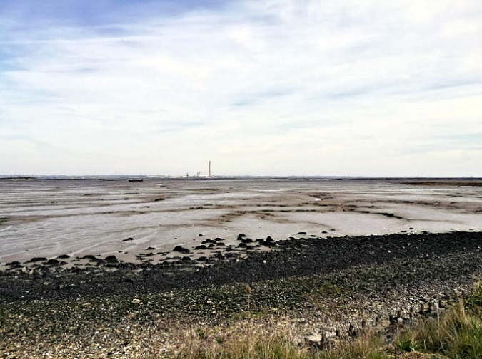 Views over Rainham Creek with the now demolished Kings North power station chimney
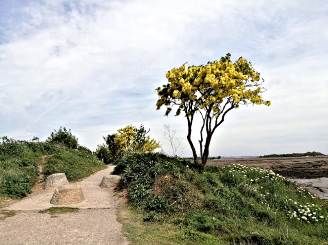 Heading away from Motney Hill
The walk begins from Motney Hill, which is home not only to a bird sanctuary but also Motney Hill Wastewater Treatment Works, one of the largest works in Kent (although this walk won’t take you to such an interesting place). Heading along the Saxon Shore Way, Bloors Wharf has a small amount of industrial archaeology and a sunken lugger and victualling craft can be seen in the bay around Rainham Creek.
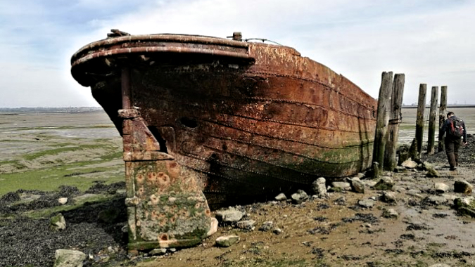 Wrecked Steam Tug sitting in the Lee of Horrid Hill
 Diesel engine within the wrecked Tug
Further up riverside country park allows a convenient stop to spend a penny just before heading out to Horrid Hill where a steam tug (later converted to a Ruston diesel) sits quietly rusting. Continue along the Saxon Shore Way and enjoy the views of the Medway Island forts and the quirky houses before coming out at Gillingham Strand park.
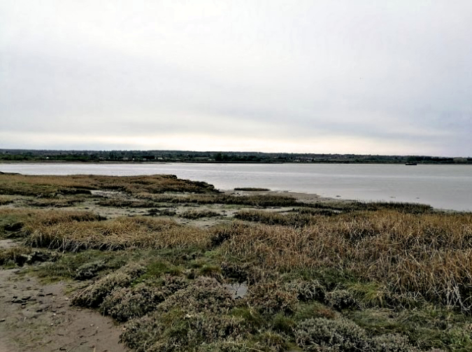 Looking across the Medway at Horrid Hill
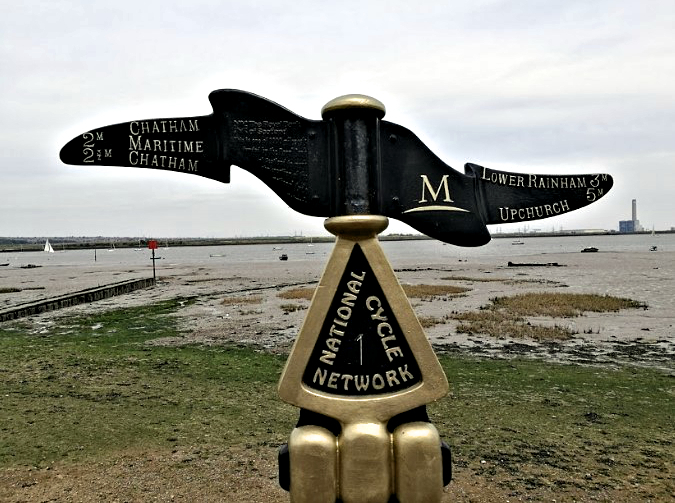 Note the now demolished Kings North chimney
Pictures courtesy of Kate Cash.


