Mulhacen, Sierra Nevada National Park, Spain
A holiday report by Adam Woods
Walkers: Adam and Kelly Woods
Start: Alto del Chorrillo
Highest Point: 3482 metres
Rating: Hard
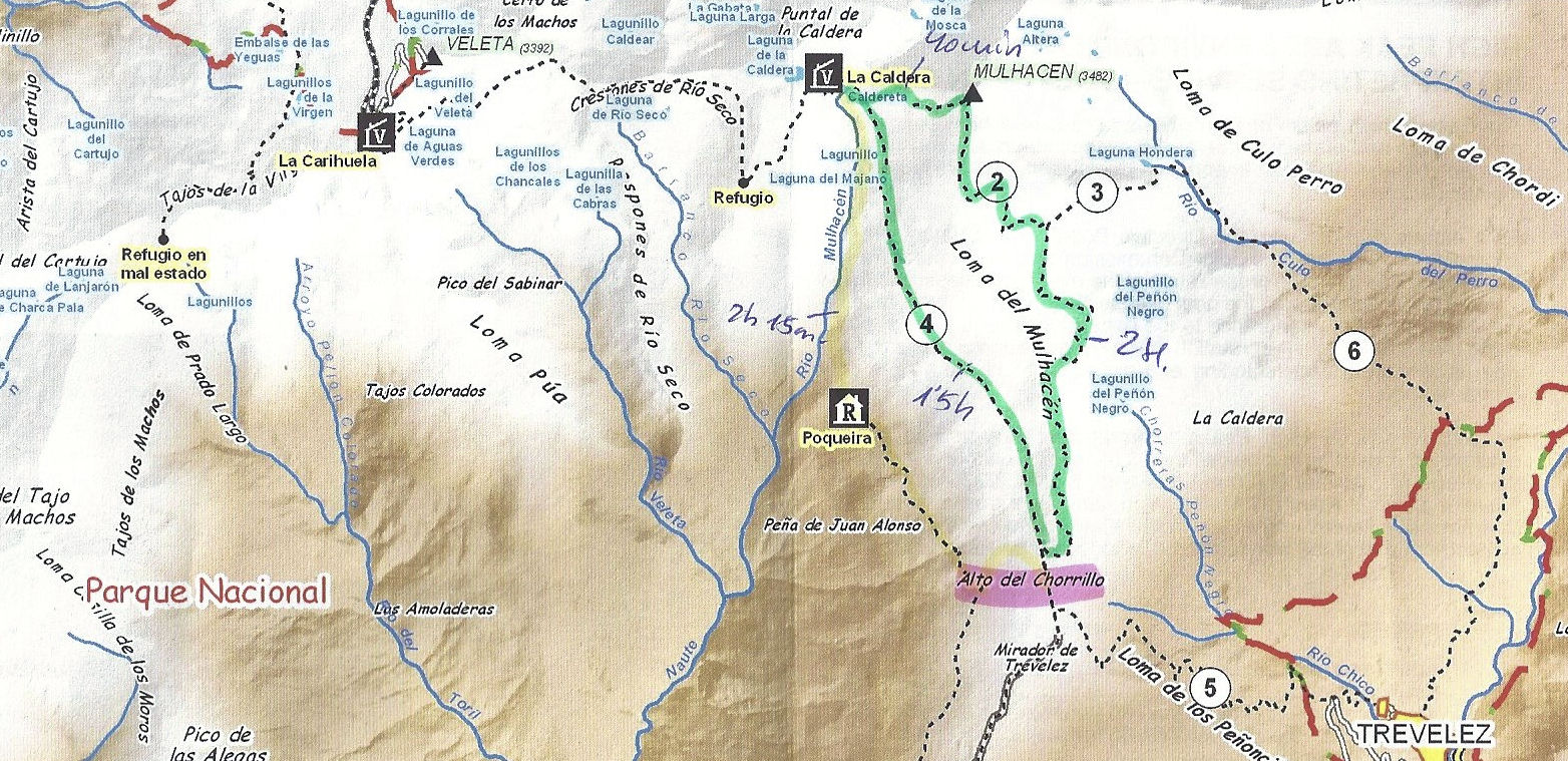
Map
The Walk:
Mulhacen at 3482m is the highest mountain in Spain. It reminds me of some areas of the Lakes and in the highlands. It is surrounded by green valleys in a picturesque part of the national park. Several routes are available to reach the summit, some involve overnight stays but we decided to get up and down on a well traversed route.
We drove from Malaga Airport and booked accommodation at the mountain village of Capileira. The village is an assortment of whitewashed houses and small shops a truly beautiful place to stay. The village is at height of 1430m and is visible from the valleys below.
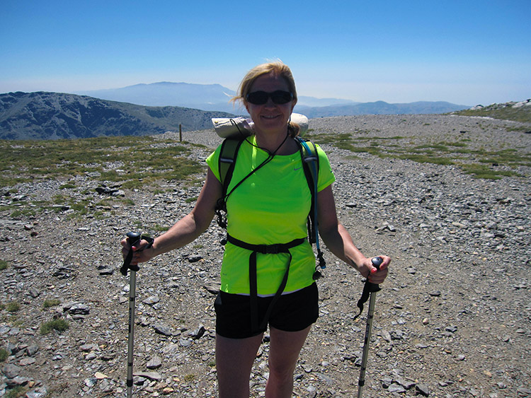 Kelly on the path to Mulhacen II
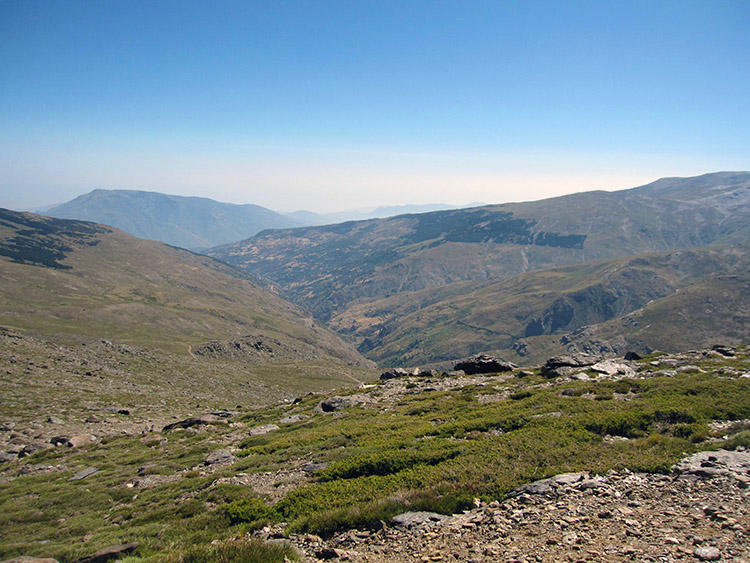 View of the National Park
The starting point of our walk was the bus park at Alto del Chorrillo. The bus can only be booked from the Tourist information at Capileira. This should be done well in advance of your trip as spaces are taken quickly. Alternatively you can drive the pot hole ridden road to the car park at Mirador de Trevelez but this will add around another 2 hours to your walk.
Please be warned that although the ascent to the summit is around 2.5 hours the temperature we started at was around 30 plus degrees and the air at this altitude is thinner, it can be exhausting. TAKE PLENTY OF WATER AND SUN PROTECTION. You should also be prepared for the weather to change very quickly especially the possibility of thunderstorms.
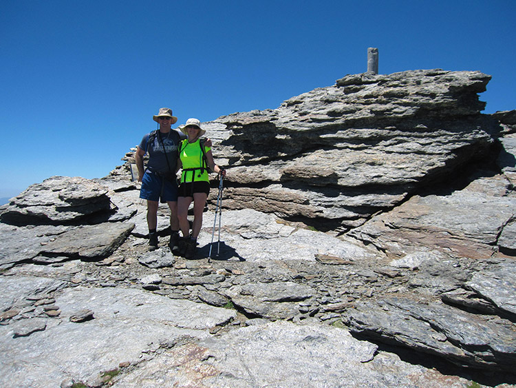 Summit Mulhacen II
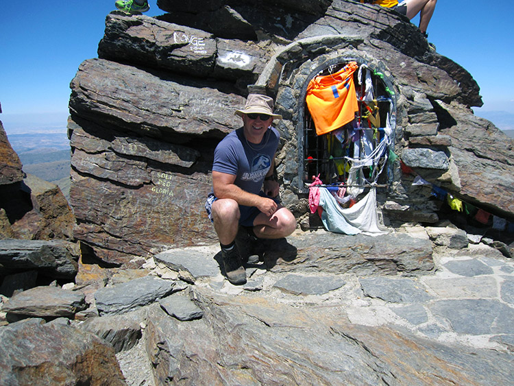 Mulhacen
The route from Alto del Chorrillo starts on a slight incline on a well-worn path, indeed we found all the paths to be in very good condition. There were many local walkers walking to the summit that day. Our path took us steeply up the Loma del Tanto to the first peak Mulhacen II (3362m) the thin air we found very tiring for the last part of our trip to Mulhacen.
Again the path to the summit was easily identifiable and we proceeded up to the summit. It took us approximately 2.5 hours to reach the summit from the start. The temperature on the summit was easily 20 plus degrees. Our Spanish colleagues wrapped up a bit but we can tolerate that temperature in shorts and vest. Several of the climbers were a bit off on the summit we believe this may have been due to the altitude.
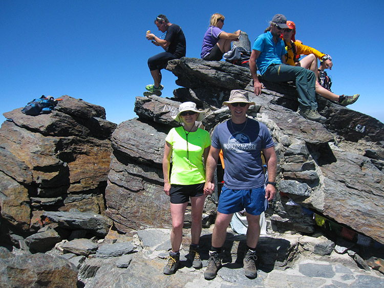 The walking group on Mulhacen
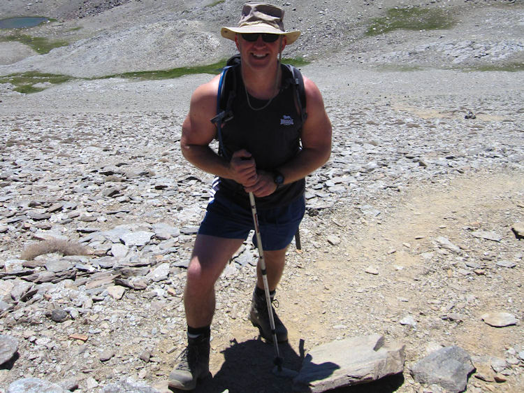 Happy Adam
After photos and lunch and a bit rest we descended west to the La Caldera, this is a refuge and often used by campers in the warmer months. This took about 1 hour down a steep gravel path. Walking poles are recommended to ease the pressure on your knees. There is a small lake at the Caldera refuge. You can take the water to drink providing you take steps to chlorinate it properly
We stayed for about 30 minutes at the Caldera refuge and watched the mountain deer come with 15m of us, they were quite tame. We then took the track back to the bus park which lies to the East of the Poqueira Refuge. This refuge is actually a hostel and some people we spoke to were spending the night, it serves cold beer and ice cream too. This was quite a comfortable walk considering the heat had risen somewhat since our start at 12:00.
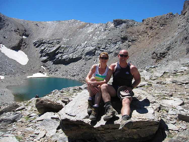 Lake at Caldera
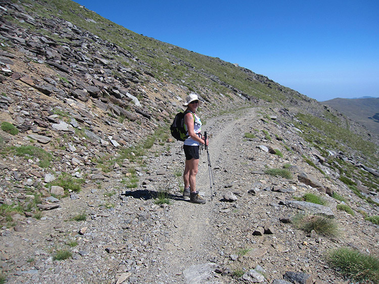 Walking back
The bus arrived and we started the journey back to Capileira. It took 45 minutes and when we got back we both enjoyed a well-earned beer. Altogether our walk took around 5.5 hours as we were not in any rush. This is not too difficult for any walkers who are reasonably fit, we were surprised at how tired we were due to the thin atmosphere but it did not spoil our trip. If you decide to do this walk please unless you are a serious climber don't go for it during the months the mountain are snow-capped.
Have fun and happy walking.


