Silsden Moor and Skipton Moor walk
This walk is one which offers very scenic views throughout and especially to the Aire valley on the long walk back along the prominent ridge of Skipton Moor. On this stretch Chelker Reservoir is also a prominent feature. Beforehand, the first part of the walk follows paths and lanes past some beautiful upland stone houses and farms before visiting the village of Low Bradley, once home to a thriving mill and now a place of tranquility and beauty.
Google Maps Open Source Maps| Statistics and Files | ||
|---|---|---|
| Start: Parson's Lane | Distance: 11.5 miles | Climbing: 474 metres |
| Grid Ref: SE063498 | Time: 5-6 hours | Rating: Hard |
| GPX Route File | Google Earth File | About Skipton |
| Statistics | |
|---|---|
| Start: Parson's Lane | Distance: 11.5 miles |
| Grid Ref: SE063498 | Time: 5-6 hours |
| Climbing: 474 metres | Rating: Hard |
| GPX Route File | Google Earth File |
Ordnance Survey Explorer Map (1:25,000)
297 Lower Wharfedale and Washburn Valley
The Walk:
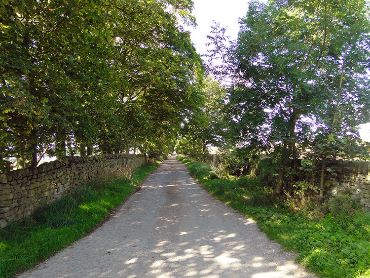 Parson's Lane leads up to Silsden Moor
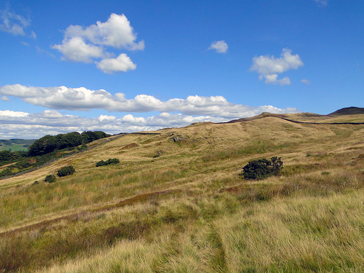
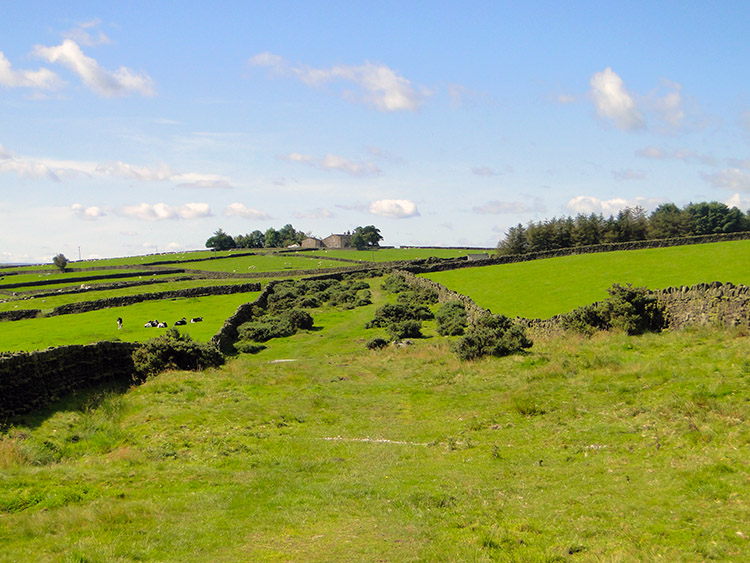 Silsden Moor
It was thirteen days since I had finished my epic, eighty-four day Great British Walk along the length of Great Britain and I was itching to walk again. The sun was shining as I woke on a mid august day and it was promised for the full day so immediately after breakfast I dressed in light walking gear, packed my light rucksack, checked the maps for somewhere to walk, found somewhere quite local which I had not done before, got in the car and drove off. Within an hour I was parked at the eastern end of Parson's Lane near Addingham and setting off by following the Millennium Way to High Marchup, walking enthusiastically all the way up the lane in complete happiness. Bolstered by the loss of three stones in weight by doing the 1,000 miles this summer, a weight I intended to keep off permanently, I thrilled at walking so effortlessly. Perhaps the joy of just being out in the hills again had something to do with it but so did my health, and the scenery I was in of course. A good stretch of the legs in the fresh air is always good. Soon I crossed over Cringles Lane to follow a track onto Silsden Moor. In the sunshine it was blanketed in brilliant green colour and it was so peaceful. I was in absolute bliss.
 Cowburn Beck near Walton Hole
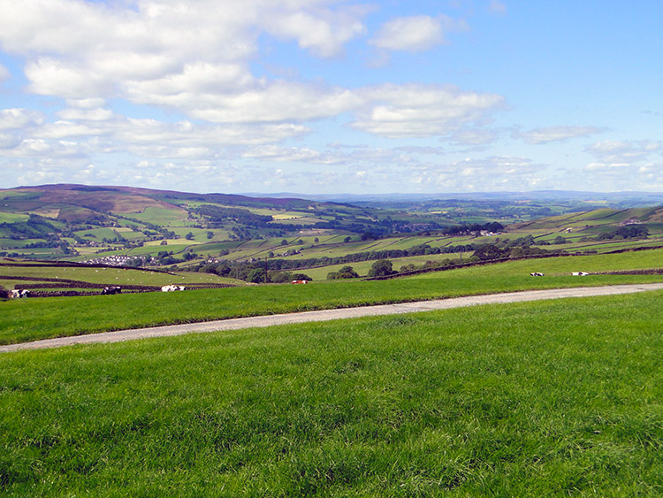 Staggering views near Low Bradley
On Silsden Moor there was a delightful little section of walking from Walton Hole to the crossing of Cowburn Beck. As I approached a footbridge to cross the beck I noticed sheep bathing in the water and true to their character as soon as they spotted me they scarpered. I crossed the footbridge and enjoyed a few moments in the hollow delighted by the sound of the flowing water, gorse seeds popping and birdsong. Wanting to make ground I did not allow myself too long in idyll and climbed from the beck to cross Silsden Moor westward to High Bracken Hill. After a road crossing I crossed two fields to Jenkin, fields of long grass which led to my hardest walking of the day. Next week the grass will probably be cut and walking thus easier. Not today though. After Jenkin I was on pasture and walking easily to Peel's Laithe at which point to moor falls away to the west. This opened out the views which were staggering. Nestled below in the valley were the villages of Cononley, Low Bradley and Kilwick with high ground including Pinhaw which I had crossed two months ago on the 1,000 mile walk.
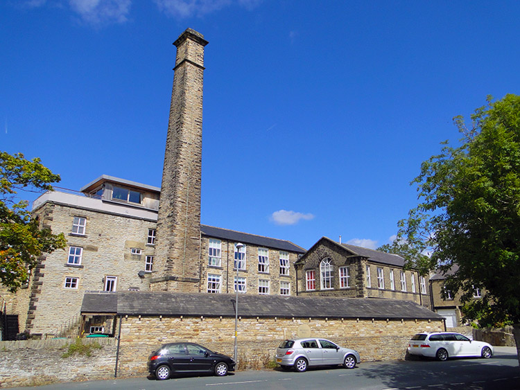 Low Bradley Mill
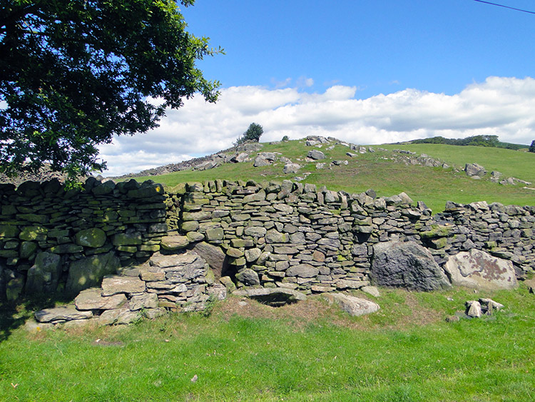 Rock outcrop at High Bradley
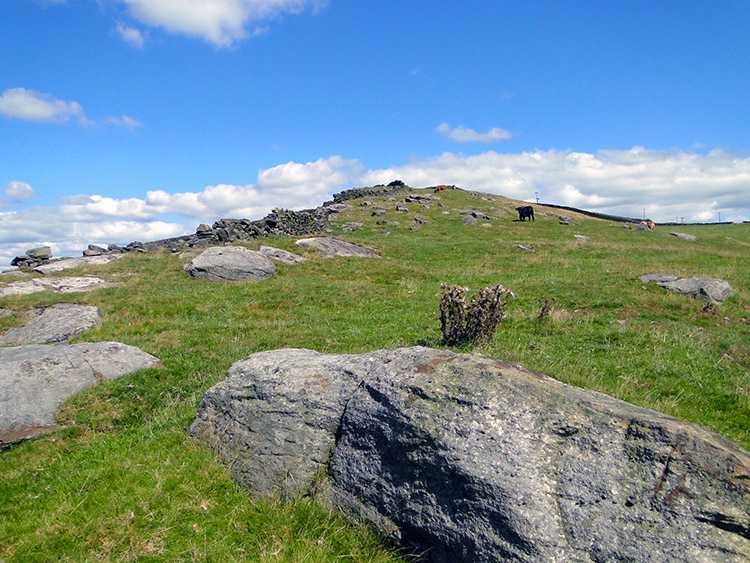
From the moor I descended on tracks and bridleways via Peel's Laithe, Higher House Farm and Lower House Farm to the village of Low Bradley. Worth a look around I thought and so I did including seeking out Low Bradley Mill before leaving the village by Langroods Farm to High Bradley. It was a short but steep ascent and with the midday sun blazing I got a sweat on. As I climbed the returning distant views rewarded me for my effort and the pleasant sun continued to emphasise the contrasts of green between fields, shrubs and trees giving even the most immediate ground a wonderful invitation to stride out and enjoy it. At High Bradley rock outcrops added to the impact by providing contrast. This was British countryside at its best and I was blessed to be enjoying it so. I am glad I had decided to go out for this walk.
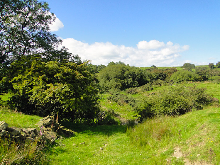
 Climbing to Burn Bank
 Still providing us with a beautiful sight
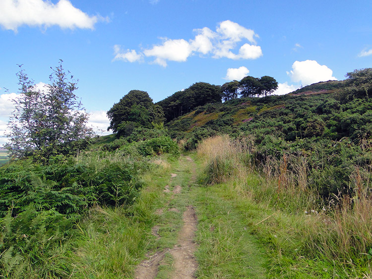
Rock outcrops continued to impress me and I had fun stepping over some as I ascended the western edge of Burn Bank before dropping down to a delightful copse near Cawder Hall Farm. As I walked through the copse young Pheasant scurried away into undergrowth and attentive sheep watched me from a short distance away. From Cawder Hall Farm I left copse and pasture to attain moor. I walked vigorously eager for a sight of Skipton below the moor.
 Cawder on the west edge of Skipton Moor
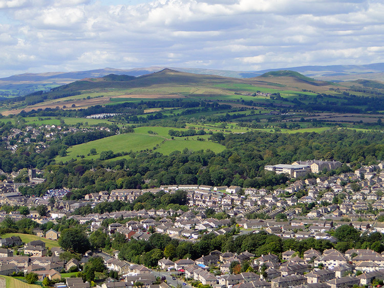 Skipton with Flasby Fell beyond
Cawder was the first part of Skipton Moor I enjoyed and as I gained height the lush green grass gave way to a wispy straw colour. Walking was very pleasant though, it was never deep and I actually left my intended route to make more height. Just to see what was there. There were interesting rises and hollows, piked tops and rounded ones.
 Walking from Jenny Gill east toward Draughton Moor
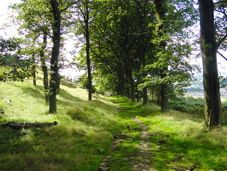 Woodland path at Jenny Gill
Very little water, In fact even Jenny Gill was dry when I reached it and when I did I followed it down to a seat conveniently placed above Skipton which provided a great vantage point for viewing the town and the southern Yorkshire Dales including Flasby Fell immediately behind the town. Seat handily placed I took my lunch and enjoyed the scene for 20 minutes.
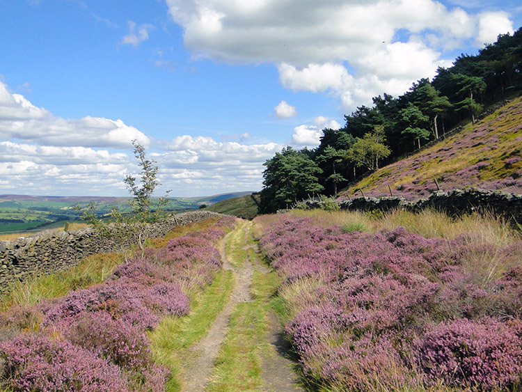 Beautiful heather in blossom lines my track home
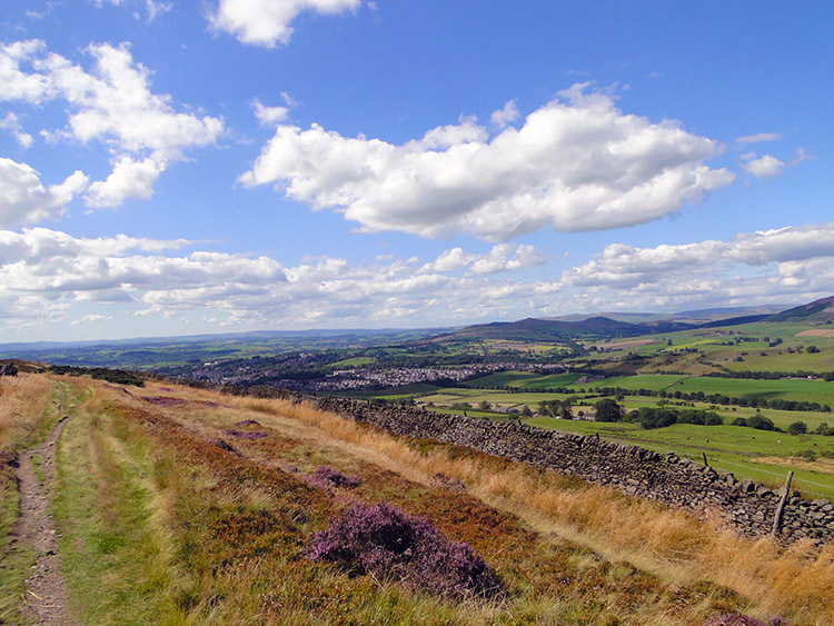 View back towards Skipton from Skipton Moor
After lunch I still had four miles to go but it was a lovely four miles on the northern edge of Skipton Moor on a good track. Views north to Embsay Moor, Barden Moor, Simon's Seat and north east to Beamsley Beacon were marvellous accompaniment making the journey so interesting and not only the views keep me enthralled for the heather was now in bloom and the purples added much to the colourful surroundings.
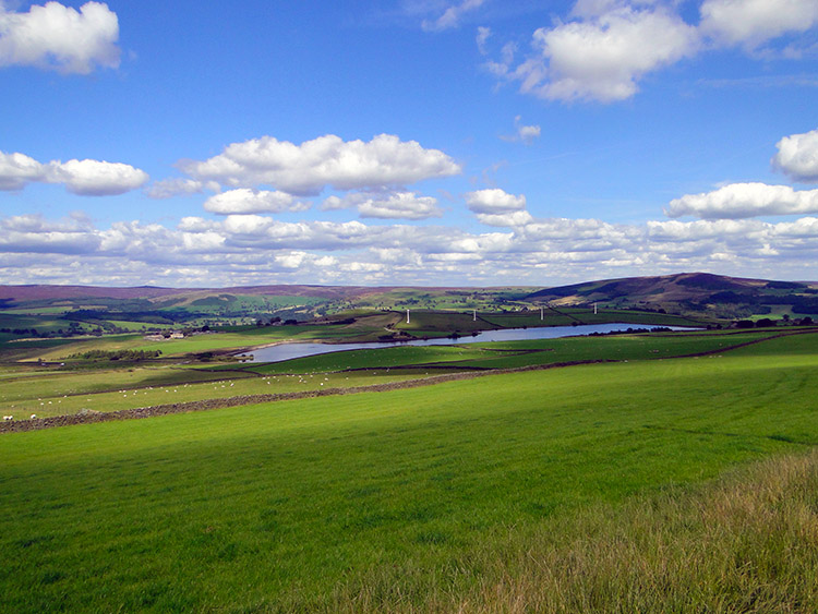 Looking across Chelker Reservoir to the moors
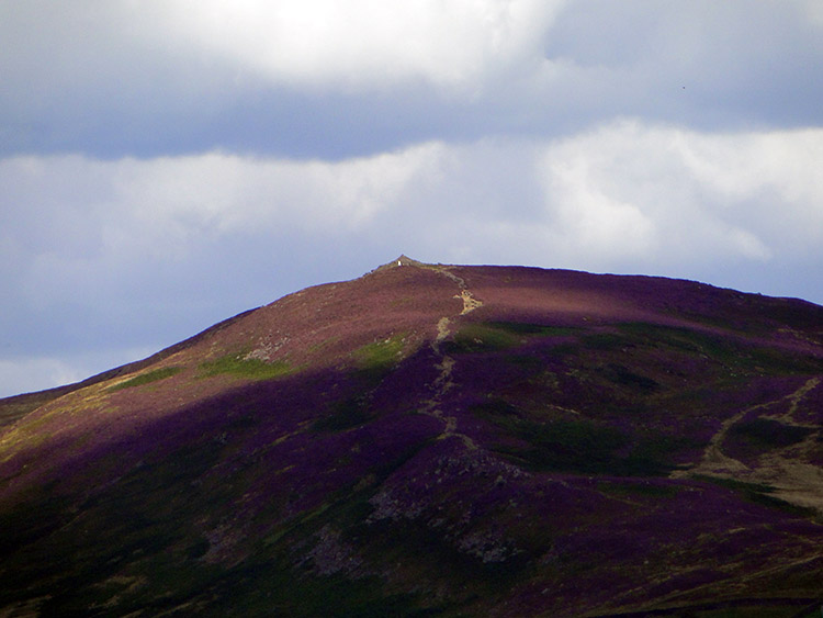 Beamsley Beacon, alternatively known as Howber Hill
There is nothing like a moorland walk when the heather is at its best. The final miles included skirting a third moor, this one being Draughton Moor which led me to the tracks back to Parson's Lane and to the car. Over ten miles done and not one part of the walk was uninteresting. This walk was brilliant, I am glad I finally found it.


