County Tops of England: Berkshire
Walbury Hill: 297 metres (Grid Ref: SU373616)
Google Maps Open Source Maps| Route Statistics and Files | ||
|---|---|---|
| Start: Car Park | Grid Ref: SU379616 | Distance: 4.0 miles (6.5 km) |
| Climbing: 103 metres | Time: 2 hours | Rating: Easy |
| GPX Route File | Google Earth File | Map: 158 Newbury and Hungerford |
| Statistics | |
|---|---|
| Start: Car Park | Grid Ref: SU379616 |
| Distance: 4.0 miles (6.5 km) | Time: 2 hours |
| Climbing: 103 metres | Rating: Easy |
| GPX Route File | Google Earth File |
| Map: 158 Newbury and Hungerford |
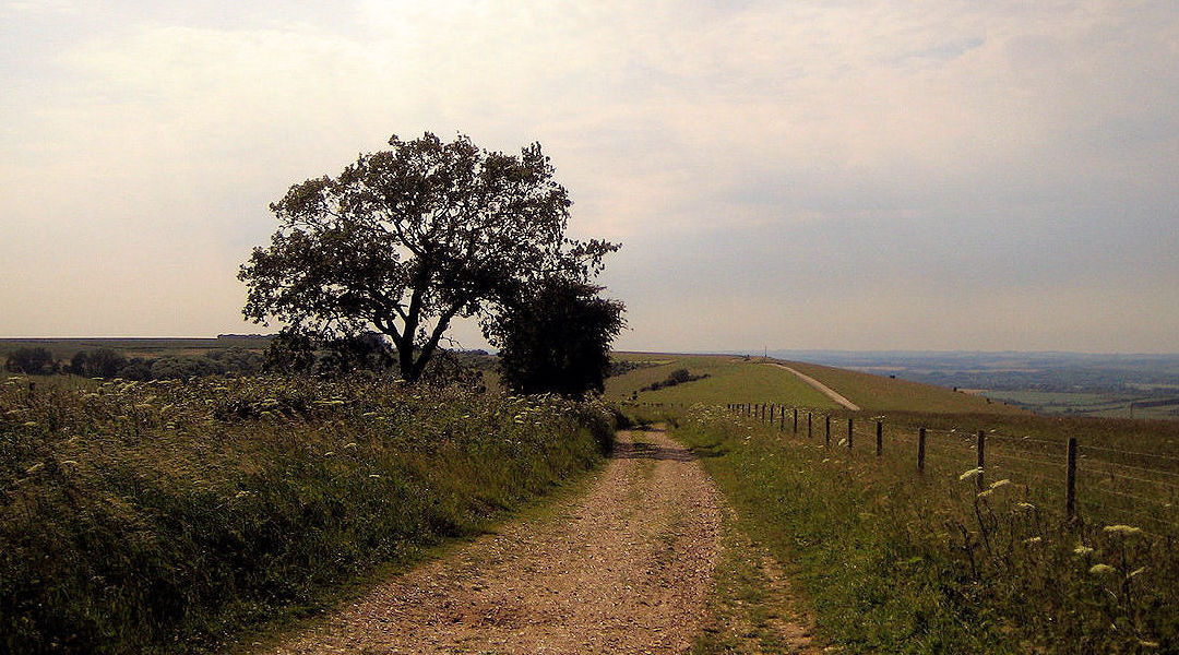
The Walk: A fairly easy walk which bags two county tops. From the start head southeast along the Wayfarer's Walk path to Pilot Hill, the county top of Hampshire. It's a gentle roller coaster, first down 30 metres and then back up 40 metres. Reverse the process having bagged Pilot Hill by returning on the same path to the car park and then continue on by climbing a further 20 metres to the summit of Walbury Hill, county top of Berkshire. That's it, BOGOF. Bagged one, got one free. Not entirely but with very little extra effort.
The Walk I Would Do: I would do this walk but extend it a little by continuing north-west to Gallows Down and Combe Gibbet.
Information: Walbury Hill is a hill in Berkshire, England. It is located in the southwest of the county, close to the borders with Hampshire and Wiltshire, and around 7 kilometres (4.3 miles) southeast of the town of Hungerford. At 297 metres (974 ft) above sea level, it is the highest hill in Berkshire and the highest natural point in South East England (West Berkshire being a constituent part of this region), just 3 metres (10 ft) higher than Leith Hill in Surrey. (Source: Wikipedia)


