County Tops of England: Derbyshire
Kinder Scout: 636 metres (Grid Ref: SK086875)
Google Maps Open Source Maps| Route Statistics and Files | ||
|---|---|---|
| Start: Edale | Grid Ref: SK123860 | Distance: 9.4 miles (15.0 km) |
| Climbing: 574 metres | Time: 4-6 hours | Rating: Hard |
| GPX Route File | Google Earth File | Map: OL1 The Peak District - Dark Peak Area |
| Statistics | |
|---|---|
| Start: Edale | Grid Ref: SK123860 |
| Distance: 9.4 miles (15.0 km) | Time: 4-6 hours |
| Climbing: 574 metres | Rating: Hard |
| GPX Route File | Google Earth File |
| Map: OL1 The Peak District - Dark Peak Area |
The Walk: One of the tougher walks in the quest to reach all the county tops of England but an immensely satisfying one. There are optional shorter routes like a straight up and down from Edale by way of Jacob's Ladder but as with other higher county tops an interesting circular walk such as this one is much preferable. And indeed more fulfilling. The route I have chosen here is described in more detail and includes a report on my Kinder Scout from Edale page. The only exception to my Kinder Scout from Edale walk is the short necessary diversion from the Pennine Way footpath at Kinder Low. Ironically the Kinder Scout trig pillar is a few metres lower than the true county top.
The Walk I Would Do: The one shown in the map and detailed in the download files. There is the option of coming from the west near Hayfield via Kinder Reservoir which was the route used in the famous Kinder Scout Trespass. I can supply that route on request though there is nothing in it in terms of distance and effort.
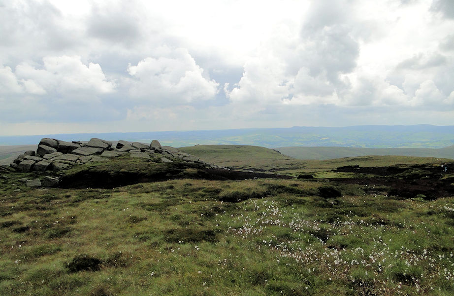
Information: Kinder Scout is a moorland plateau and National Nature Reserve[3] in the Dark Peak of the Derbyshire Peak District in England. Part of the moor, at 636 metres (2,087 ft) above sea level, is the highest point in the Peak District, the highest point in Derbyshire, and the highest point in the East Midlands. In excellent weather conditions the city of Manchester and the Greater Manchester conurbation can be seen, as well as Winter Hill near Bolton, and the mountains of Snowdonia in North Wales. (Source: Wikipedia)


