County Tops of England: Dorset
Lewesdon Hill: 279 metres (Grid Ref: ST437011)
Google Maps Open Source Maps| Route Statistics and Files | ||
|---|---|---|
| Start: Roadside lay-by | Grid Ref: ST422016 | Distance: 3.0 miles (4.7 km) |
| Climbing: 177 metres | Time: 1-2 hours | Rating: Easy |
| GPX Route File | Google Earth File | Map: 116 Lyme Regis and Bridport |
| Statistics | |
|---|---|
| Start: Roadside lay-by | Grid Ref: ST422016 |
| Distance: 3.0 miles (4.7 km) | Time: 1-2 hours |
| Climbing: 177 metres | Rating: Easy |
| GPX Route File | Google Earth File |
| Map: 116 Lyme Regis and Bridport |
The Walk: Start out from the generous parking area on the B3164 which is next to the lane to Courtwood Farm. Follow the road eastwards for 200 metres and then leave it to follow the tree lined Lewesdon Hill Lane path to the hill which is the objective. After a little over a kilometre a crossroads of paths is reached. turn right and head south to the top of Lewesdon Hill. The summit is not marked so find the highest point you can and satisfy yourself on achieving the summit of Dorset. Though the hill is covered in scatterings of trees find a gap and you will enjoy tremendous views to the south Dorset countryside and the Dorset coastline. Drop off the hill by following a path due south to meet a path heading west which skirts the north side of Brimley Coombe Farm. Continue on this track west and north to meet the point where you left the B3164. good walk is completed by walking the 200 metres of roadside back to your starting point.
The Walk I Would Do: This one. It is a nice short circular stroll in the uplands of Dorset
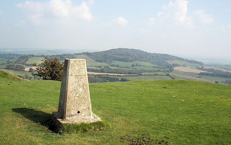
Information: Lewesdon Hill is about 4 kilometres west of Beaminster in south west Dorset. Like many of the high hills in Dorset, including its neighbour Pilsdon Pen, it is the site of an Iron Age hill fort. The hill is formed from upper greensand which is more resistant to erosion than the surrounding clay. At 279 metres (915 ft) the hill is the highest point in Dorset. (Source: Wikipedia)


