County Tops of England: Essex
Chrishall Common: 147 metres (Grid Ref: TL443362)
Google Maps Open Source Maps| Route Statistics and Files | ||
|---|---|---|
| Start: Great Chishill | Grid Ref: TL427386 | Distance: 6.0 miles (9.6 km) |
| Climbing: 90 metres | Time: 2-3 hours | Rating: Easy |
| GPX Route File | Google Earth File | Map: 194 Hertford and Bishop’s Stortford |
| Statistics | |
|---|---|
| Start: Great Chishill | Grid Ref: TL427386 |
| Distance: 6.0 miles (9.6 km) | Time: 2-3 hours |
| Climbing: 90 metres | Rating: Easy |
| GPX Route File | Google Earth File |
| Map: 194 Hertford and Bishop’s Stortford |
The Walk: Begin in another county. Start in the village of Great Chishill and from the village crossorads walk east along Hall Lane to bag Cambridgeshire's county top. On Hall Lane leave the road by The Hall and follow a path south-east on a lane and then across a field to the south edge of Monkshole Wood. Keep going past the wood in the same direction across another field to reach Building End Road near Lower Farm. Follow the road south to where it terminates to become Common Lane and keep going south to where another track forks off heading east across Chrishall Common on a slight ascent to Roughway Wood and around the fringe of the woods by first turning right at a junction of paths and then left at the next junction of paths you will meet the Harcamlow Way footpath and at the same time bag the county top of Essex.
Follow the Harcamlow Way north to Chiswick Hall and then head west on a path across a field and then north along a lane to reach Building End Road once more. Turn left along the road and take the first path on the right heading north west across fields back to Hall Lane which will lead you east back to Great Chishill.
The Walk I Would Do: This one. I could have designed a step out of the car to bag Cambridgeshire's high point and a short walk of less than a mile from Upper Green/ Langley to reach Essex's county top. But surely a nice circular walk in the boundary lands of the counties is the better option.
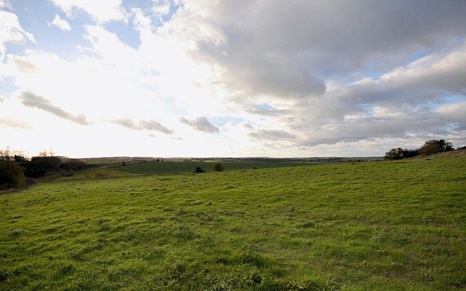
Information: Chrishall's location is key to its character; as the village sits at the highest point in Essex, at 147 metres (482 ft) above sea level, road construction has avoided this high ground and therefore Chrishall is off the beaten track. Despite its relative isolation the village retains good facilities. (Source: Wikipedia)


