County Tops of England: Huntingdonshire
Boring Field: 80 metres (Grid Ref: TL049712)
Google Maps Open Source Maps| Route Statistics and Files | ||
|---|---|---|
| Start: Covington | Grid Ref: TL054708 | Distance: 1 mile (1.6 km) |
| Climbing: 5 metres | Time: 1 hour | Rating: Easy |
| GPX Route File | Google Earth File | Map: 225 Huntingdon and St Ives |
| Statistics | |
|---|---|
| Start: Covington | Grid Ref: TL054708 |
| Distance: 1 mile (1.6 km) | Time: 1 hour |
| Climbing: 5 metres | Rating: Easy |
| GPX Route File | Google Earth File |
| Map: 225 Huntingdon and St Ives |
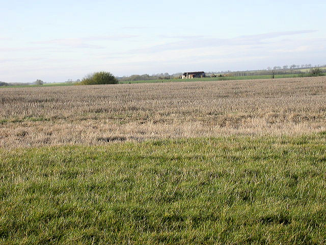
The Walk: The county top of Huntingdon is not recognised on the Ordnance Survey map. Ironically, by design of county top enthusiasts it has been called Boring Field as that is exactly what it is. To claim the prize walk north west from the village of Covington for a half mile along an access road to a point on a field edge near some sheds and outbuildings. Then walk back. There is no point hanging about on this one.
The Walk I Would Do: Unfortunately this one. I would walk as briskly as I could to claim this county top and once completed try to find a decent walk in the area.
Information: The highest point of the historic county of Huntingdonshire, known as Boring Field, is within the Parish, although the ground continues to rise as it goes into Northamptonshire. The high point some 80 metres (260 ft) above sea level is located at TL049712, and is the lowest county top of the historic counties of England. Visiting this lowest historic county top, near Three Shires farm is of interest to participants collecting all the county tops of England. (Source: Wikipedia)


