County Tops of England: Warwickshire
Ebrington Hill: 261 metres (Grid Ref: SP 18786 42632)
Google Maps Open Source Maps| Route Statistics and Files | ||
|---|---|---|
| Start: Transmitter Site | Grid Ref: SP186426 | Distance: N/A |
| Climbing: N/A | Time: N/A | Rating: Easy |
| GPX Route File | Google Earth File | Map: 205 Stratford-upon-Avon, Evesham and Alcester |
| Statistics | |
|---|---|
| Start: Transmitter Site | Grid Ref: SP186426 |
| Distance: N/A | Time: N/A |
| Climbing: N/A | Rating: Easy |
| GPX Route File | Google Earth File |
| Map: 205 Stratford-upon-Avon, Evesham and Alcester |
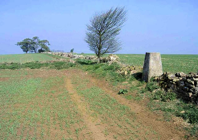
The Walk: One of the pretty meaningless English county tops which makes the bagging of them all a chore at times. There are much better walks to be found than this hop over into a field and along the field line to a lonely and forlorn hump of ground. Take heart when you have reached it and jumped up and down on the spot in the knowledge that another of the boring ones is ticked off.
The Walk I Would Do: I would temper the effort of getting to the location of Warwickshire's county top by completing task of jumping up and down on the spot as quickly as I possibly could. Then I would head north to Stratford Upon Avon and discover a heritage walk in the environs of Shakespeare's home town.
Information: Ebrington Hill is a hill in Warwickshire, England, which at 261m (856 ft) is the highest in the county. It is situated between the villages of Ebrington, Mickleton and Ilmington on the Warwickshire and Gloucestershire border in the Cotswolds. (Source: Wikipedia)


